Georgia – Athens
Georgia – Athens
Node Host: University of Georgia
Lead Collaborator: USDA Forest Service Southern Research Station
Acronym: GA
About the Node Hosts: The University of Georgia (UGA) is one of the NASA DEVELOP National Program's regional locations. Established in the summer of 2013, the UGA node resides within the Center for Geospatial Research (CGR). Participants have access to the latest GIS and remote sensing technologies and support from a diverse group of science advisors. The UGA node is nestled in the town of Athens in northeast Georgia and is known for its rich culture and leading research facilities.
History of the DEVELOP Node: The UGA node was founded in the summer of 2013 and was primarily made up of students, recent graduates, and faculty from the Geography department. Since then, the node has expanded to science advisors from several departments including the College of Engineering, College of Environment and Design, Warnell School of Forestry and Natural Resources, Computer Science, and Geology department, and participants from all over. Because the node is housed within the University, participants can take advantage of many university resources such as computers, software, professors/science advisors, the science library and map library.
About the Node: On average, UGA successfully completes 9 projects per year with about 45 participants. UGA's project portfolio is quite diverse, but is known for their ecological forecasting and water resources projects, as well as its international collaborations. UGA's many science advisors are experts in the fields of water remote sensing, vegetation mapping, photogrammetry, cartography, planning, and GIS, to name a few.
- Location
- Athens, Georgia
- Node Leadership
- Fellow: Sarah Payne
- Science Advisor: Dr. Maguerite Madden
- Lead Collaborator: Rob Doudrick
- Featured Project
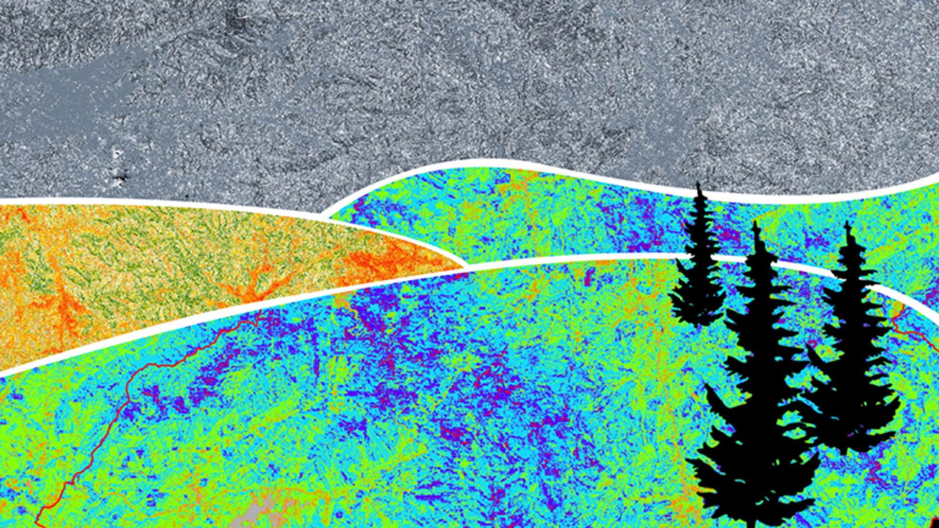
- Southern Appalachia Disasters II
Projects
Publications
Six Ways Earth Observations Tackle Real-World Problems. NASA Tumblr. 8/12/16.
NASA'S DEVELOP Program is Helping Foster the Next Conservationists. IUCN's World Conservation Congress. 7/21/16.
Georgia Water Resources: Groundwater Storage Change and Contamination Risks. Earthzine. 2/22/16.
