Assessing Habitat Suitability and Human-Jaguar Conflict Areas to Identify Potential Jaguar Corridors Connecting La Amistad and Corcovado National Parks in Costa Rica
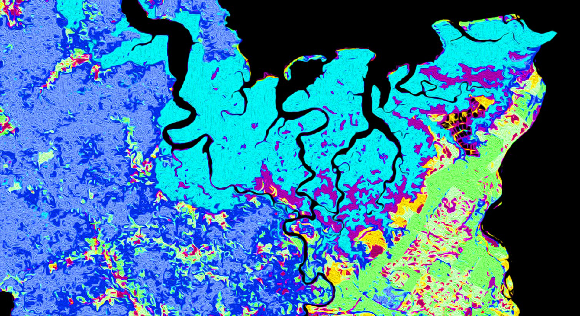
La Amistad International Peace Park in the Talamanca Mountains and Corcovado National Park on the Osa Peninsula in Costa Rica are home to two isolated jaguar (Panthera onca) populations. As agricultural and urban land uses have expanded in Costa Rica, jaguar home ranges have been reduced by 40 percent. NASA DEVELOP collaborated with the Arizona Center for Nature Conservation – Phoenix Zoo and Osa Conservation to design optimal corridors between these two protected areas to reconnect isolated populations. This project used Landsat 5 Thematic Mapper (TM) and Landsat 8 Operational Land Imager (OLI) to assess trends in land use and land cover (LULC) from 1987 to 2019. From these analyses, in conjunction with elevation data from Terra Advanced Spaceborne Thermal Emission and Reflection Radiometer (ASTER) and vector data of roads and urban centers, we forecasted LULC to 2030 using the TerrSet Land Change Modeler. These data were then used to identify forecasted human-jaguar conflict risk areas created by urban and agricultural expansion. A compilation of these inputs informed a suitability assessment that was used in Linkage Mapper to model wildlife corridors. The results from Linkage Mapper highlighted a potential corridor through the Buenos Aires Canton of the study area. Our partners will use these findings for monitoring and educational outreach efforts and the implementation of a jaguar corridor.
Project Video:
Corridor Connection: A Pathway to Jaguar Survival
- Location
- Georgia — Athens
- Term
- Summer 2019
- Partner(s)
- Arizona Center for Nature Conservation - Phoenix Zoo
Osa Conservation - NASA Earth Observations
- Landsat 5 TM
Terra ASTER
Landsat 8 OLI
PlanetScope - Team
- Samuel Furey (Project Lead)
Olivia Landry
Samantha Trust
Iris Fynn - Advisor(s)
- Dr. Marguerite Madden (University of Georgia, Department of Geography)
Dr. Steve Padgett-Vasquez (University of Georgia, Department of Geography)