Identifying Habitat and Solar Site Conflict in Georgia by Developing an Environmental Sensitivity Public Mapping Tool
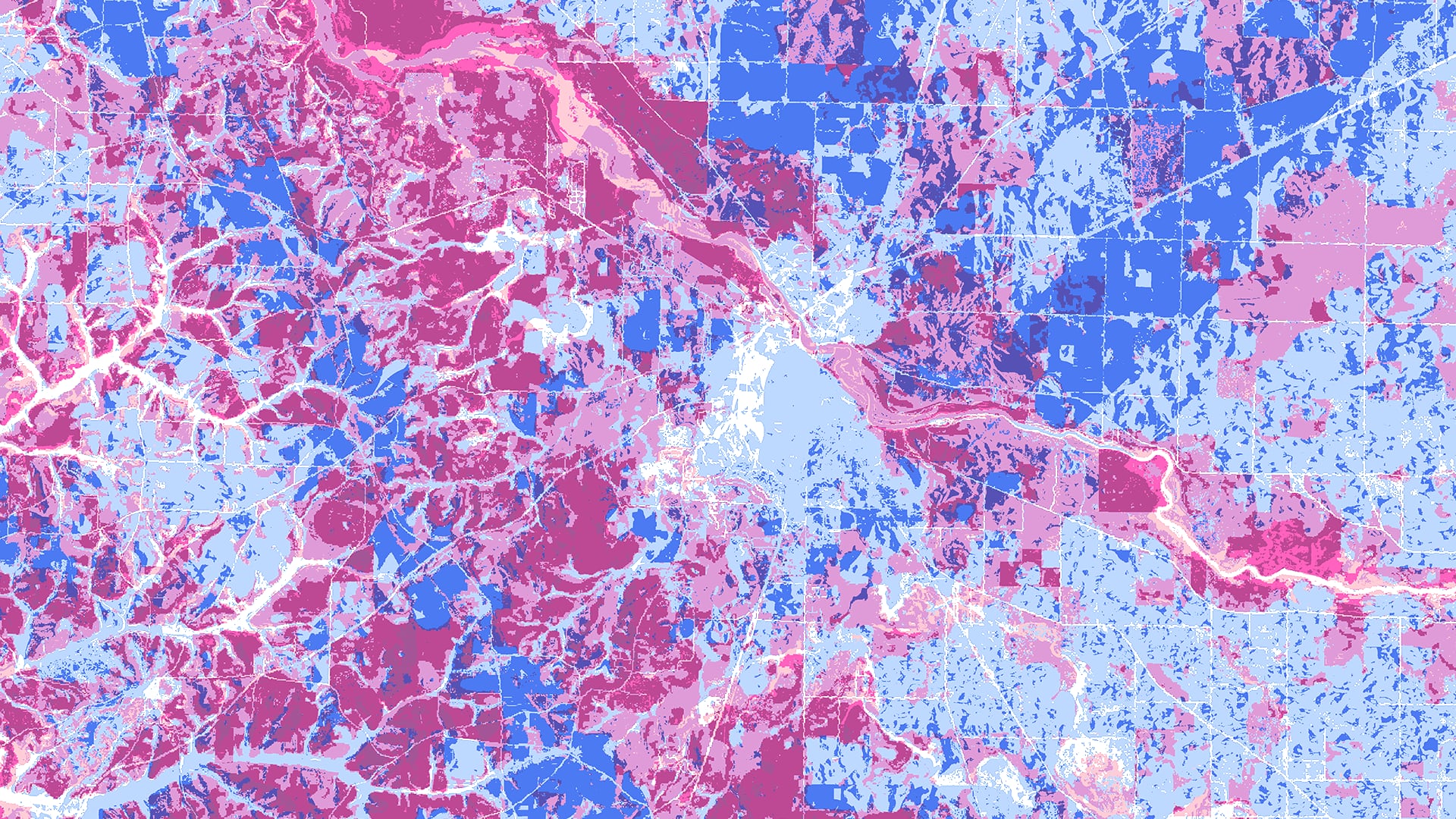
The rapid expansion of the solar industry across the state of Georgia has a detrimental effect on the habitats of keystone and threatened species, such as the gopher tortoise (Gopherus polyphemus) and the American black bear (Ursus americanus). NASA DEVELOP collaborated with the Georgia Chapter of The Nature Conservancy (TNC) and the Georgia Department of Natural Resources to continue the research from two previous NASA DEVELOP projects in 2017. The team worked to assess the conflict between solar suitability and environmentally sensitive areas with the Land-Use Conflict Identification Strategy (LUCIS) and to determine how conflict has changed since the 2017 analysis. The project utilized Terra/Aqua Clouds and the Earth's Radiant Energy System (CERES) satellite data and other ancillary datasets to conduct and compare a general statewide LUCIS analysis from 2017 to 2019 and to complete an in-depth LUCIS analysis of Georgia’s fastest-growing solar counties—Taylor, Twiggs, Decatur, and Brooks. The analysis indicated that between 2017 and 2019, the entire state saw high conflict areas increase by 38%. Project partners will use these findings to target areas for promotion of conservation policy and education efforts. The team also provided the TNC with a publicly available web application, called the Environmental Sensitivity Mapping Tool (ESMT), that can be updated as new data are released. The ESMT will be used to educate interest groups, such as solar developers and conservationists, to help them recognize and mitigate the negative effects of solar development on the environment.
- Location
- Georgia - Athens
- Term
- Summer 2020
- Partner(s)
- The Nature Conservancy, Georgia Chapter
Georgia Department of Natural Resources - NASA Earth Observations
- Aqua CERES
Terra CERES - Team
- Samantha Trust (Project Lead)
Alexander Burke
Jannatul Ferdush
Vineeth Jason Putti - Advisor(s)
- Dr. Marguerite Madden (University of Georgia)