Identifying and Evaluating Changes in Land Use and Land Cover on the Visayan Islands over Time for Reintroduction of the Visayan Warty Pig (Sus cebrifons) and Visayan Spotted Deer (Rusa alfredi)
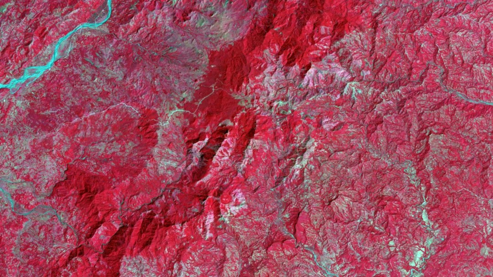
The islands of Negros and Panay in the Philippines contain the last existing habitat for the critically endangered Visayan spotted deer (Rusa alfredi) and Visayan warty pig (Sus cebifrons). NASA DEVELOP partnered with the Arizona Center for Nature Conservation – Phoenix Zoo, International Union for Conservation of Nature Species Survival Commission, and Talarak Foundation Inc. for this study. The initiative was to analyze and map changes in vegetation health in order to identify potential habitat areas for the reintroduction of the warty pig and spotted deer species to the Visayan Islands. The study utilized Landsat 5 Thematic Mapper (TM), and Landsat 8 Operational Land Imager (OLI) and Terra Moderate Resolution Imaging Spectroradiometer (MODIS) data acquired from Google Earth Engine (GEE). GEE was used to perform historical Normalized Difference Vegetation Index (NDVI) and Enhanced Vegetation Index (EVI) analysis along with land classifications. RStudio was used for NDVI and EVI forecasting and supervised classification comparison. The team also used the Land Change Modeler within TerrSet software to forecast land use and land cover (LULC) for the years 2030 and 2050. This methodology allowed the team to predict future land cover and potential habitat areas for the reintroduction of the two species. The LULC classification forecasts revealed a potential decrease in primary forests on the islands of Panay and Negros. Favorable habitats were also identified using buffer analysis based on habitat preferences for the Visayan warty pig and spotted deer.
- Location
- Georgia — Athens
- Term
- Fall 2019
- Partner(s)
- Arizona Center for Nature Conservation – Phoenix Zoo
The International Union for Conservation of Nature, Species Survival Commission
Talarak Foundation Inc. - NASA Earth Observations
- Landsat 5 TM
Landsat 8 OLI
Terra MODIS - Team
- Ryan Slapikas (Project Lead)
Naomi Belle
Eze Amadi
Lusitania Savio - Advisor(s)
- Dr. Marguerite Madden (University of Georgia, Department of Geography)
Dr. Sergio Bernardes (University of Georgia, Department of Geography)