Summer 2021 Preview

Summer 2021 Preview

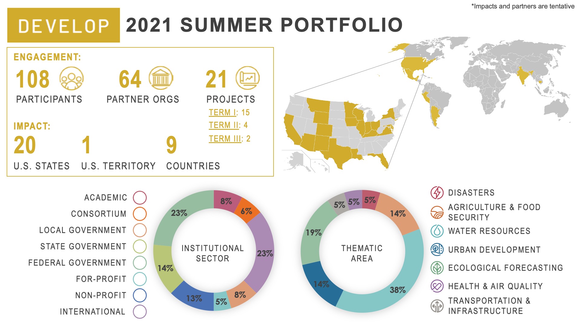
DEVELOP’s summer 2021 term began on June 7th and will conclude on August 13th. One hundred and eight participants are working virtually from 32 states and Washington, DC. The participants are working on 21 projects in the areas of Disasters, Health & Air Quality, Ecological Forecasting, Urban Development, Water Resources, Agriculture, and Transportation & Infrastructure. The tentative project impacts and partners are shown below on the summer portfolio overview. This term, eight Bhutanese scholars studying in the United States are continuing work on two DEVELOP projects studying community concerns in Bhutan through a multi-year Interagency Agreement with the U.S. Department of State.
2021 Summer Portfolio

Engagement:
• 108 participants
• 64 partner organizations
• 21 projects (15 first term, 4 second term, 2 third term)

Impact:
• 20 U.S. States
• 1 U.S. Territory
• 9 Countries

Institutional sector:
• 8% Academic
• 6% Consortium
• 8% Local government
• 14% State government
• 23% Federal government
• 5% For-profit
• 13% Non-profit
• 23% International

Thematic area:
• 5% Disasters
• 14% Food security & Agriculture
• 38% Water resources
• 14% Urban development
• 19% Ecological forecasting
• 5% Transportation & Infrastructure
• 5% Health & Air quality

Learn more about the summer 2021 projects being conducted below!
Disasters icon

Illinois Disasters
DEVELOP Node: North Carolina - NCEI and Alabama - MSFC

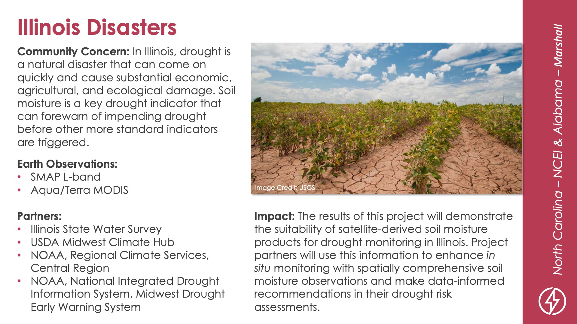
Community Concern: In Illinois, drought is a natural disaster that can come on quickly and cause substantial economic, agricultural, and ecological damage. Soil moisture is a key drought indicator that can forewarn of impending drought before other more standard indicators are triggered.

Impact: The results of this project will demonstrate the suitability of satellite-derived soil moisture products for drought monitoring in Illinois. Project partners will use this information to enhance in situ monitoring with spatially comprehensive soil moisture observations and make data-informed recommendations in their drought risk assessments.

Partners: Illinois State Water Survey, USDA Midwest Climate Hub, NOAA-Regional Climate Services-Central Region, NOAA-National Integrated Drought Information System-Midwest Drought Early Warning System

Earth Observations: SMAP L-band, Aqua/Terra MODIS

Ecological forecasting icon

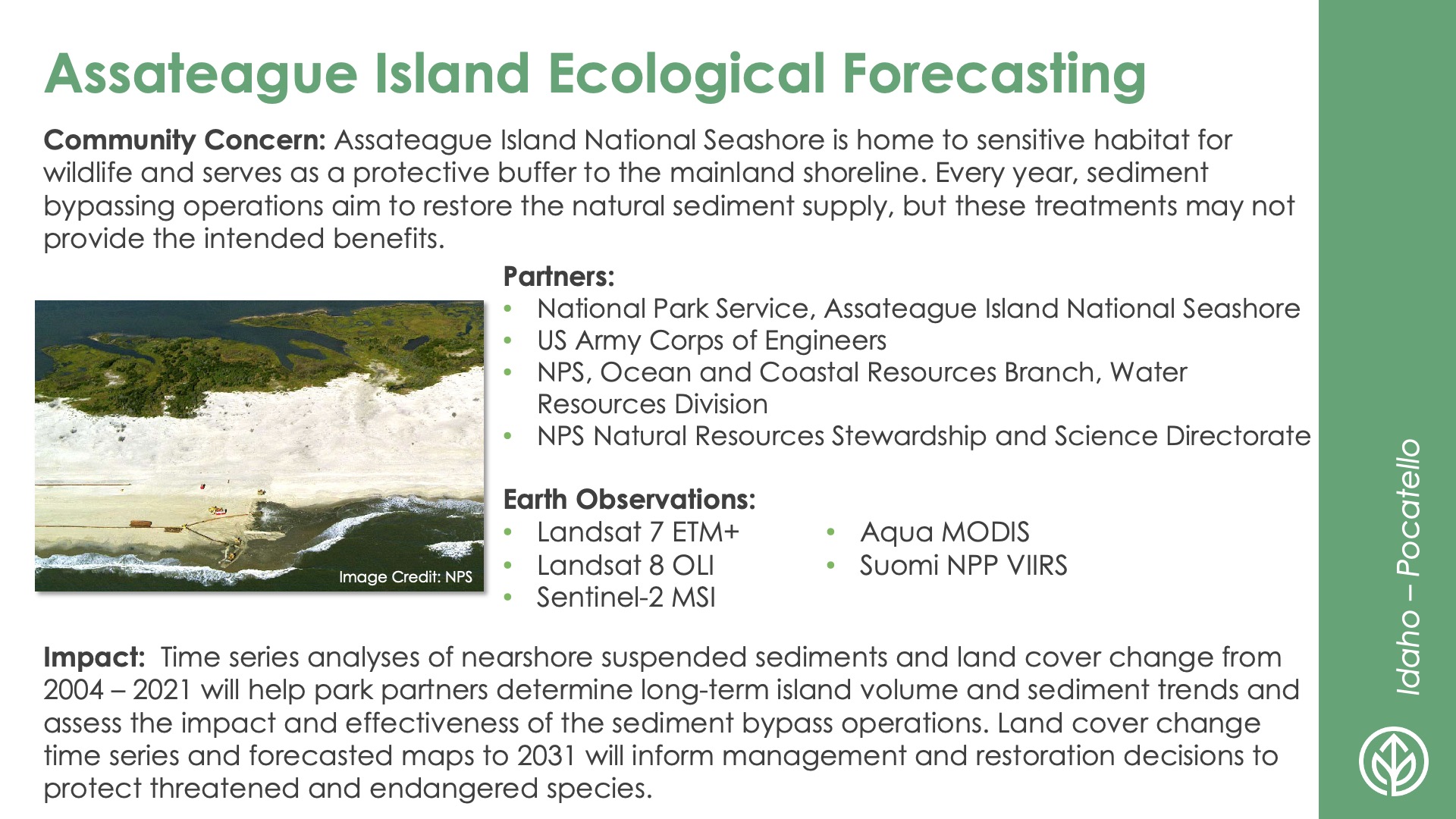
Assateague Island Ecological Forecasting
DEVELOP Node: Idaho - Pocatello

Community Concern: Assateague Island National Seashore is home to sensitive habitat for wildlife and serves as a protective buffer to the mainland shoreline. Every year, sediment bypassing operations aim to restore the natural sediment supply, but these treatments may not provide the intended benefits.

Impact: Time series analyses of nearshore suspended sediments and land cover change from 2004 – 2021 will help park partners determine long-term island volume and sediment trends and assess the impact and effectiveness of the sediment bypass operations. Land cover change time series and forecasted maps to 2031 will inform management and restoration decisions to protect threatened and endangered species.

Partners: National Park Service-Assateague Island National Seashore, US Army Corps of Engineers, NPS-Ocean and Coastal Resources Branch-Water Resources Division, NPS Natural Resources Stewardship and Science Directorate

Earth Observations: Landsat 7 ETM+, Landsat 8 OLI, Sentinel-2 MSI, Aqua MODIS, Suomi NPP VIIRS

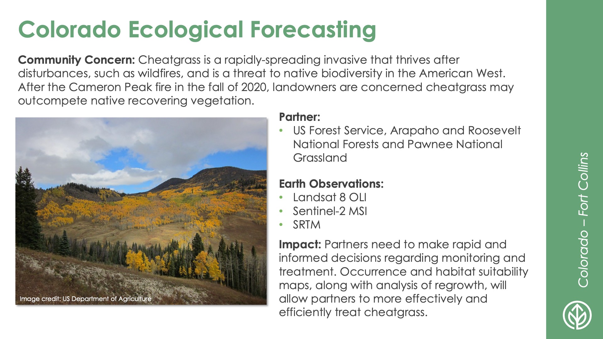
Colorado Ecological Forecasting
DEVELOP Node: Colorado - Fort Collins

Community Concern: Cheatgrass is a rapidly-spreading invasive that thrives after disturbances, such as wildfires, and is a threat to native biodiversity in the American West. After the Cameron Peak fire in the fall of 2020, landowners are concerned cheatgrass may outcompete native recovering vegetation.

Impact: Partners need to make rapid and informed decisions regarding monitoring and treatment. Occurrence and habitat suitability maps, along with analysis of regrowth, will allow partners to more effectively and efficiently treat cheatgrass.

Partners: US Forest Service-Arapaho and Roosevelt National Forests and Pawnee National Grassland

Earth Observations: Landsat 8 OLI, Sentinel-2 MSI, SRTM

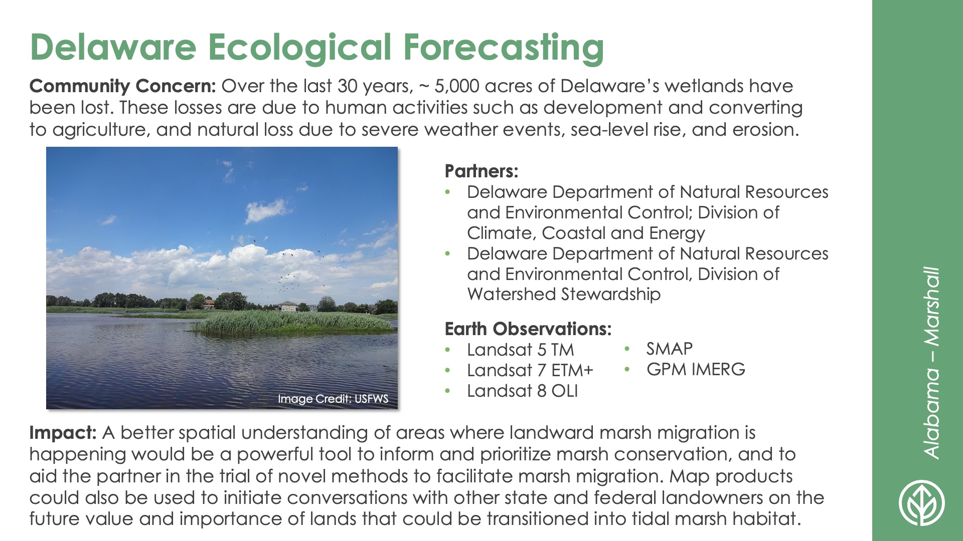
Delaware Ecological Forecasting
DEVELOP Node: Alabama - MSFC

Community Concern: Over the last 30 years, ~ 5,000 acres of Delaware’s wetlands have been lost. These losses are due to human activities such as development and converting to agriculture, and natural loss due to severe weather events, sea-level rise, and erosion.

Impact: A better spatial understanding of areas where landward marsh migration is happening would be a powerful tool to inform and prioritize marsh conservation, and to aid the partner in the trial of novel methods to facilitate marsh migration. Map products could also be used to initiate conversations with other state and federal landowners on the future value and importance of lands that could be transitioned into tidal marsh habitat.

Partners: Delaware Department of Natural Resources and Environmental Control-Division of Climate-Coastal and Energy, Delaware Department of Natural Resources and Environmental Control-Division of Watershed Stewardship

Earth Observations: Landsat 5 TM, Landsat 7 ETM+, Landsat 8 OLI, SMAP, GPM IMERG

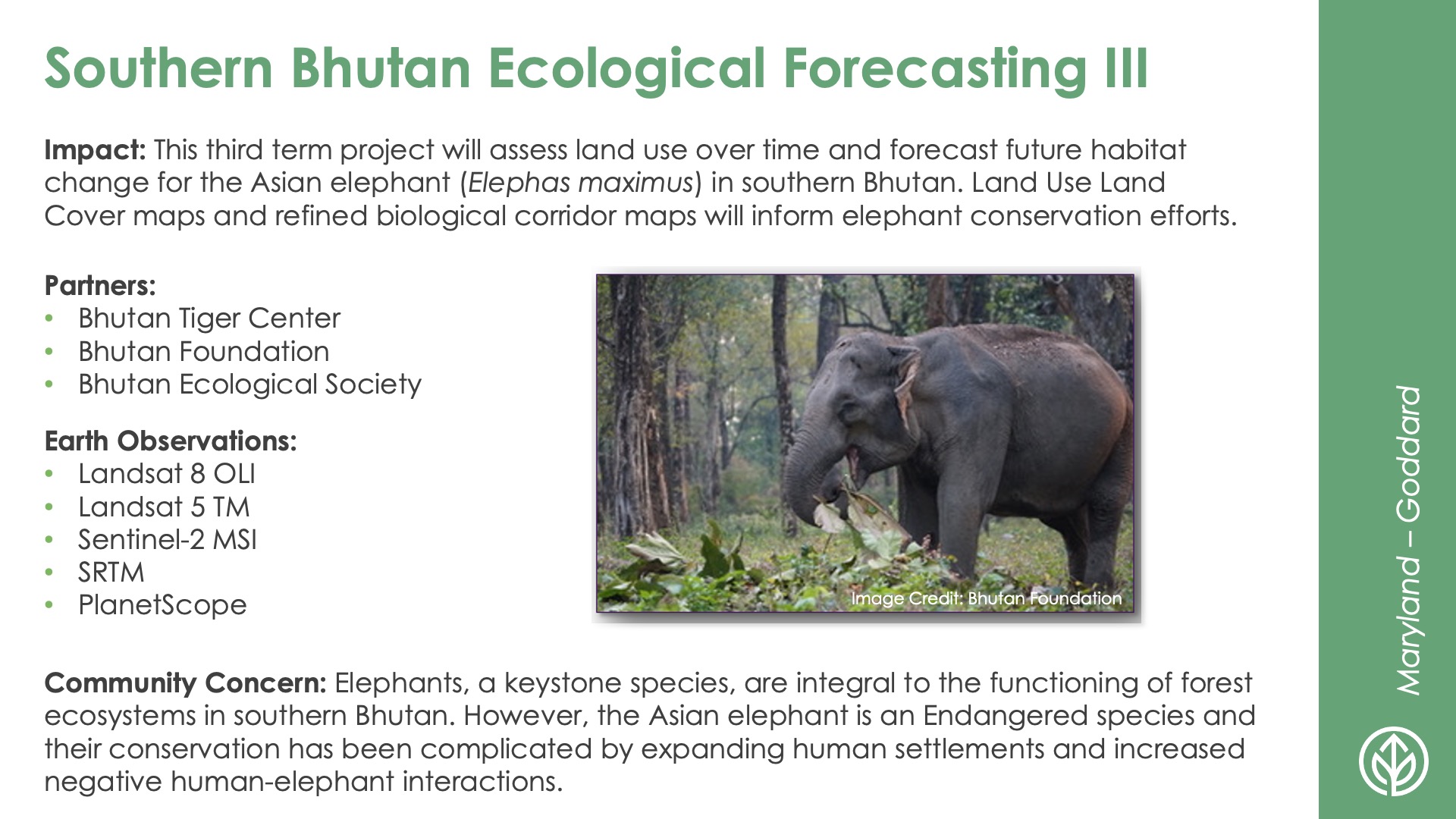
Southern Bhutan Ecological Forecasting III
DEVELOP Node: Maryland - GSFC

Community Concern: Elephants, a keystone species, are integral to the functioning of forest ecosystems in southern Bhutan. However, the Asian elephant is an Endangered species and their conservation has been complicated by expanding human settlements and increased negative human-elephant interactions.

Impact: This third term project will assess land use over time and forecast future habitat change for the Asian elephant (Elephas maximus) in southern Bhutan. Land Use Land Cover maps and refined biological corridor maps will inform elephant conservation efforts.

Partners: Bhutan Tiger Center, Bhutan Foundation, Bhutan Ecological Society

Earth Observations: Landsat 8 OLI, Landsat 5 TM, Sentinel-2 MSI, SRTM, PlanetScope

Food Security & Agriculture icon

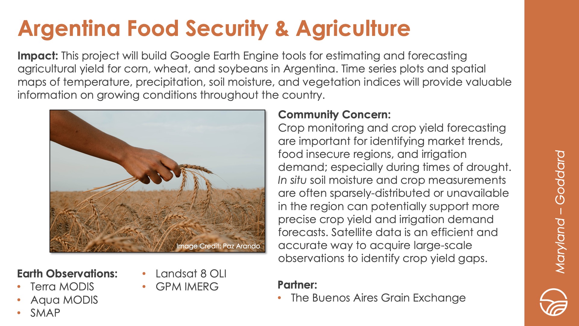
Argentina Food Security & Agriculture
DEVELOP Node: Maryland - GSFC

Community Concern: Crop monitoring and crop yield forecasting are important for identifying market trends, food insecure regions, and irrigation demand; especially during times of drought. In situ soil moisture and crop measurements are often sparsely-distributed or unavailable in the region can potentially support more precise crop yield and irrigation demand forecasts. Satellite data is an efficient and accurate way to acquire large-scale observations to identify crop yield gaps.

Impact: This project will build Google Earth Engine tools for estimating and forecasting agricultural yield for corn, wheat, and soybeans in Argentina. Time series plots and spatial maps of temperature, precipitation, soil moisture, and vegetation indices will provide valuable information on growing conditions throughout the country.

Partners: The Buenos Aires Grain Exchange

Earth Observations: Terra MODIS, Aqua MODIS, SMAP, Landsat 8 OLI, GPM IMERG

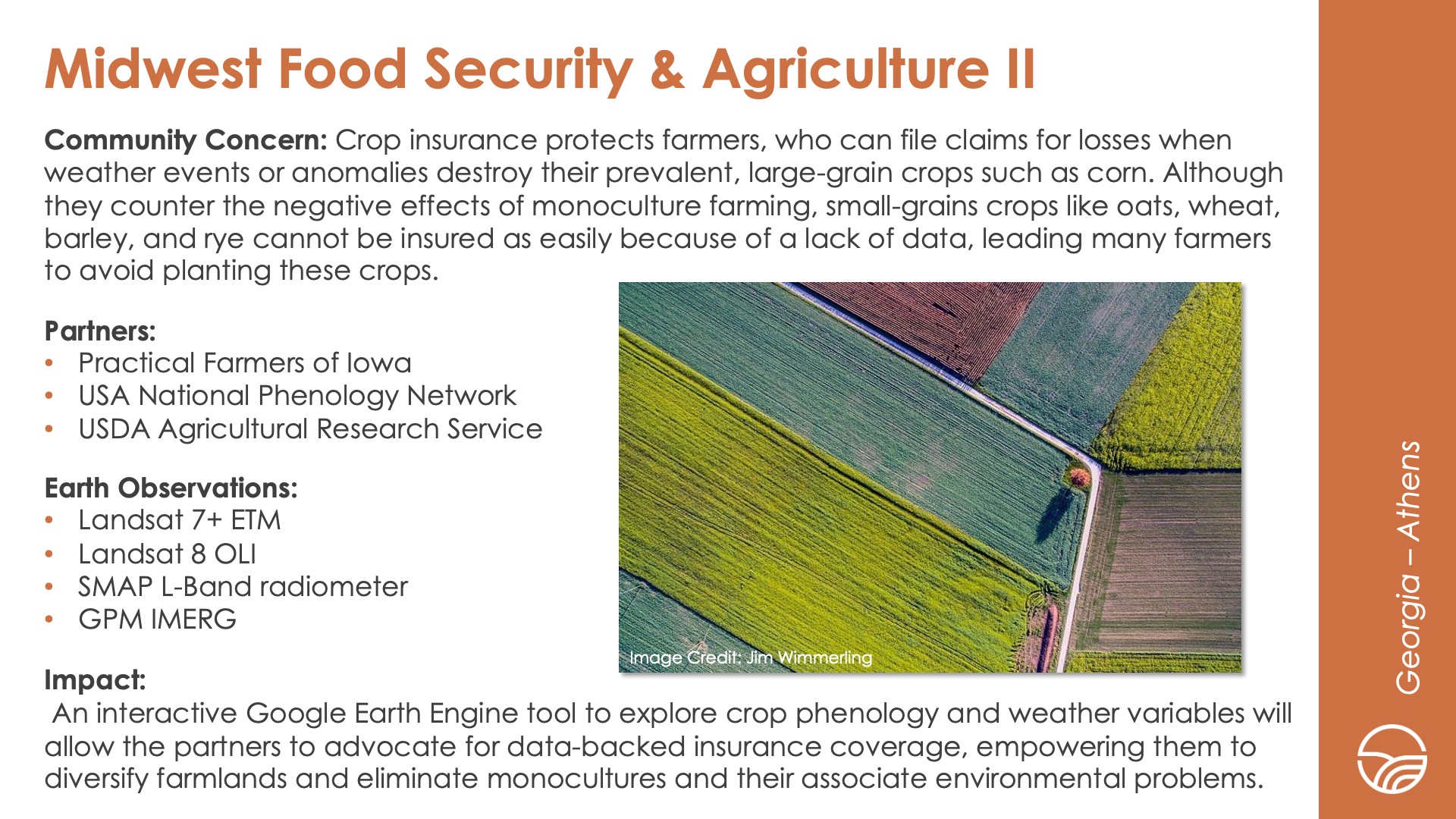
Midwest Food Security & Agriculture II
DEVELOP Node: Georgia - Athens

Community Concern: Crop insurance protects farmers, who can file claims for losses when weather events or anomalies destroy their prevalent, large-grain crops such as corn. Although they counter the negative effects of monoculture farming, small-grains crops like oats, wheat, barley, and rye cannot be insured as easily because of a lack of data, leading many farmers to avoid planting these crops.

Impact: An interactive Google Earth Engine tool to explore crop phenology and weather variables will allow the partners to advocate for data-backed insurance coverage, empowering them to diversify farmlands and eliminate monocultures and their associate environmental problems.

Partners: Practical Farmers of Iowa, USA National Phenology Network, USDA Agricultural Research Service

Earth Observations: Landsat 7 ETM+, Landsat 8 OLI, SMAP L-Band radiometer, GPM IMERG

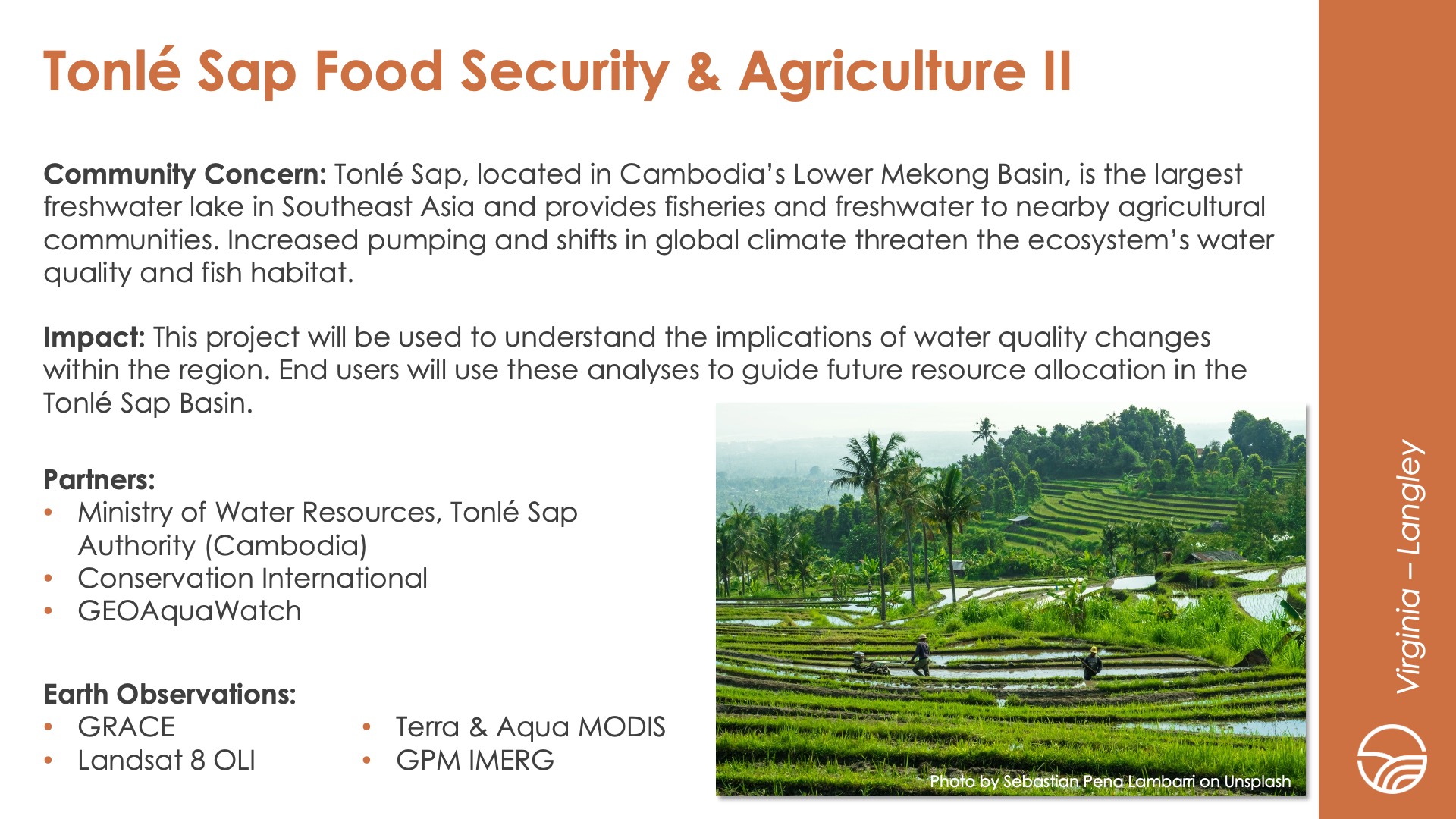
Tonlé Sap Food Security & Agriculture II
DEVELOP Node: Virginia - LaRC

Community Concern: Tonlé Sap, located in Cambodia’s Lower Mekong Basin, is the largest freshwater lake in Southeast Asia and provides fisheries and freshwater to nearby agricultural communities. Increased pumping and shifts in global climate threaten the ecosystem’s water quality and fish habitat.

Impact: This project will be used to understand the implications of water quality changes within the region. End users will use these analyses to guide future resource allocation in the Tonlé Sap Basin.

Partners: Ministry of Water Resources-Tonlé Sap Authority (Cambodia), Conservation International, GEOAquaWatch

Earth Observations: GRACE, Landsat 8 OLI, Terra & Aqua MODIS, GPM IMERG

Health & air quality icon

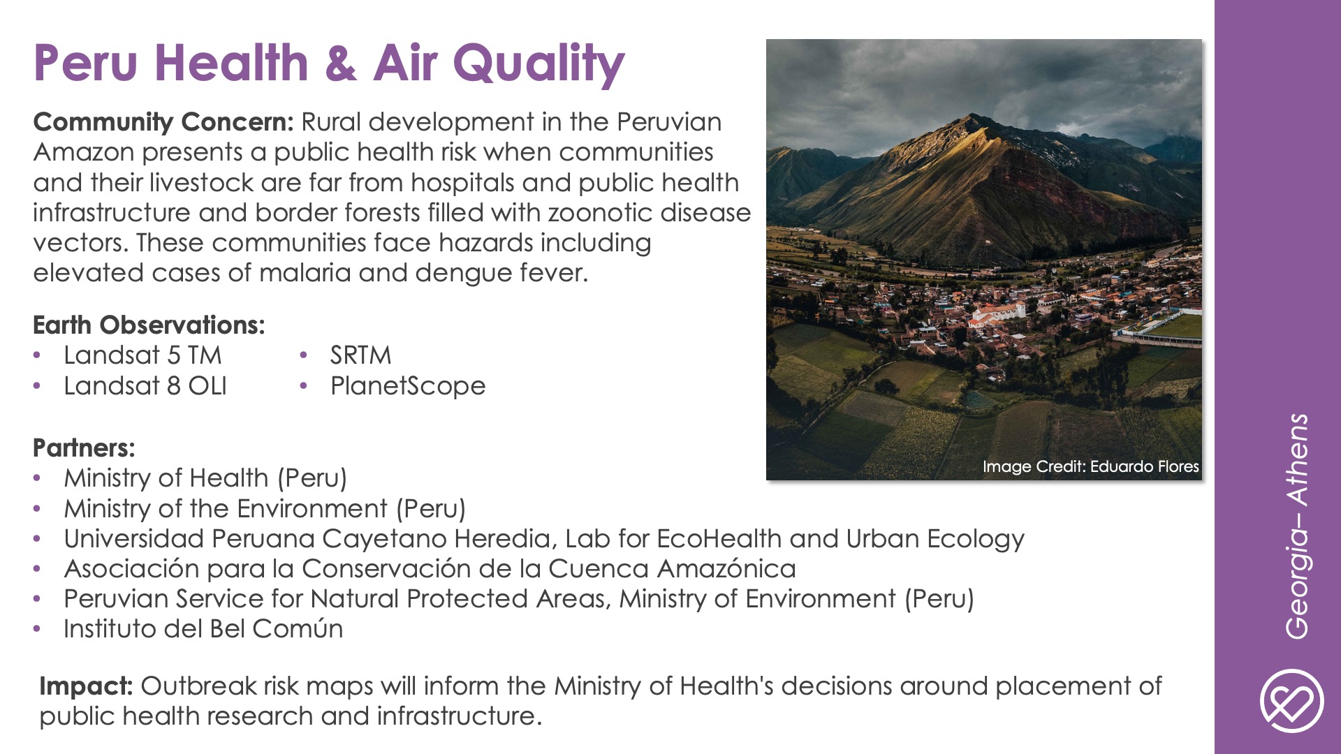
Peru Health & Air Quality
DEVELOP Node: Georgia - Athens

Community Concern: Rural development in the Peruvian Amazon presents a public health risk when communities and their livestock are far from hospitals and public health infrastructure and border forests filled with zoonotic disease vectors. These communities face hazards including elevated cases of malaria and dengue fever.

Impact: Outbreak risk maps will inform the Ministry of Health's decisions around placement of public health research and infrastructure.

Partners: Ministry of Health (Peru), Ministry of the Environment (Peru), Universidad Peruana Cayetano Heredia, Lab for EcoHealth and Urban Ecology, Asociación para la Conservación de la Cuenca Amazónica, Peruvian Service for Natural Protected Areas, Ministry of Environment (Peru), Instituto del Bel Común

Earth Observations: Landsat 5 TM, Landsat 8 OLI, SRTM, PlanetScope

Transportation & infrastructure icon

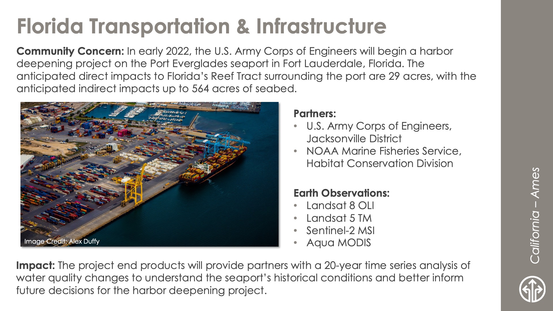
Florida Transportation & Infrastructure
DEVELOP Node: California - ARC

Community Concern: In early 2022, the U.S. Army Corps of Engineers will begin a harbor deepening project on the Port Everglades seaport in Fort Lauderdale, Florida. The anticipated direct impacts to Florida’s Reef Tract surrounding the port are 29 acres, with the anticipated indirect impacts up to 564 acres of seabed.

Impact: The project end products will provide partners with a 20-year time series analysis of water quality changes to understand the seaport’s historical conditions and better inform future decisions for the harbor deepening project.

Partners: U.S. Army Corps of Engineers-Jacksonville District, NOAA Marine Fisheries Service-Habitat Conservation Division

Earth Observations: Landsat 8 OLI, Landsat 5 TM, Sentinel-2 MSI, Aqua MODIS

Urban development icon

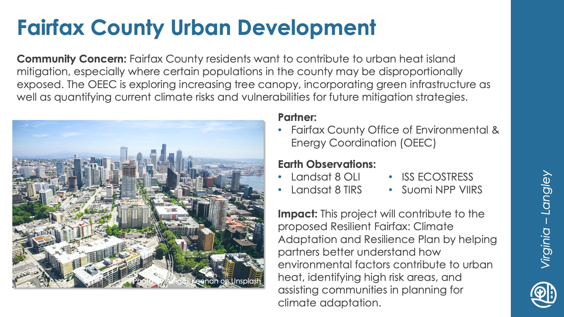
Fairfax County Urban Development
DEVELOP Node: Virginia - LaRC

Community Concern: Fairfax County residents want to contribute to urban heat island mitigation, especially where certain populations in the county may be disproportionally exposed. The OEEC is exploring increasing tree canopy, incorporating green infrastructure as well as quantifying current climate risks and vulnerabilities for future mitigation strategies.

Impact: This project will contribute to the proposed Resilient Fairfax: Climate Adaptation and Resilience Plan by helping partners better understand how environmental factors contribute to urban heat, identifying high risk areas, and assisting communities in planning for climate adaptation.

Partners: Fairfax County Office of Environmental & Energy Coordination (OEEC)

Earth Observations: Landsat 8 OLI, Landsat 8 TIRS, ISS ECOSTRESS, Suomi NPP VIIRS

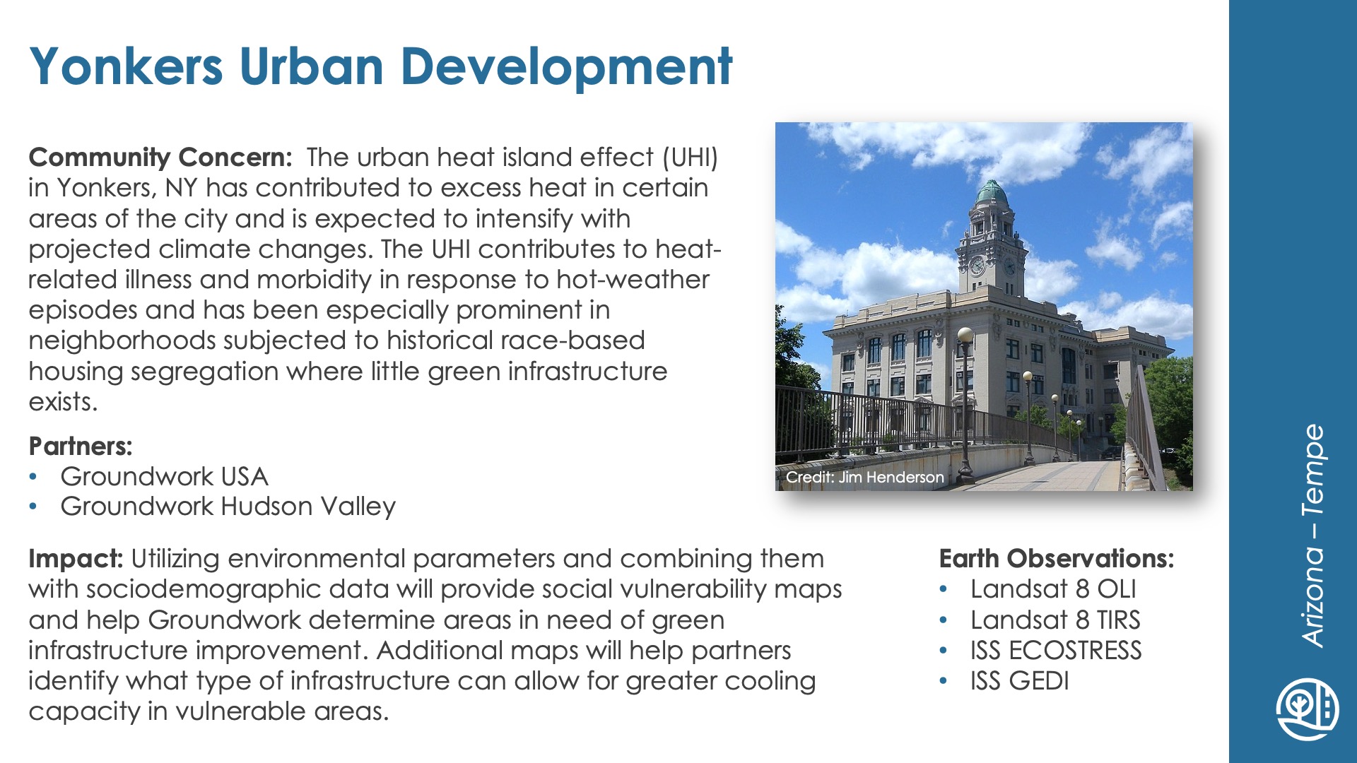
Yonkers Urban Development
DEVELOP Node: Arizona - Tempe

Community Concern: The urban heat island effect (UHI) in Yonkers, NY has contributed to excess heat in certain areas of the city and is expected to intensify with projected climate changes. The UHI contributes to heat-related illness and morbidity in response to hot-weather episodes and has been especially prominent in neighborhoods subjected to historical race-based housing segregation where little green infrastructure exists.

Impact: Utilizing environmental parameters and combining them with sociodemographic data will provide social vulnerability maps and help Groundwork determine areas in need of green infrastructure improvement. Additional maps will help partners identify what type of infrastructure can allow for greater cooling capacity in vulnerable areas.

Partners: Groundwork USA, Groundwork Hudson Valley

Earth Observations: Landsat 8 OLI, Landsat 8 TIRS, ISS ECOSTRESS, ISS GEDI

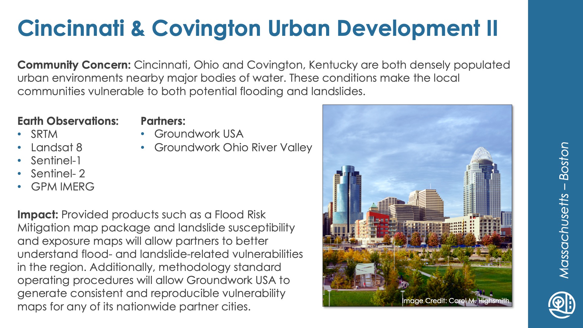
Cincinnati & Covington Urban Development II
DEVELOP Node: Massachusetts - Boston

Community Concern: Cincinnati, Ohio and Covington, Kentucky are both densely populated urban environments nearby major bodies of water. These conditions make the local communities vulnerable to both potential flooding and landslides.

Impact: Provided products such as a Flood Risk Mitigation map package and landslide susceptibility and exposure maps will allow partners to better understand flood- and landslide-related vulnerabilities in the region. Additionally, methodology standard operating procedures will allow Groundwork USA to generate consistent and reproducible vulnerability maps for any of its nationwide partner cities.

Partners: Groundwork USA, Groundwork Ohio River Valley

Earth Observations: SRTM, Landsat 8, Sentinel-1, Sentinel-2, GPM IMERG

Water resources icon

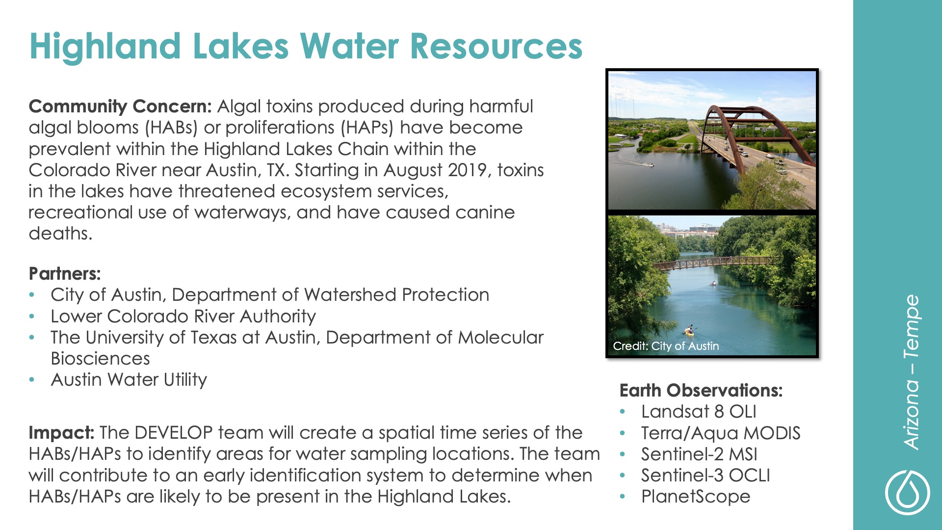
Highland Lakes Water Resources
DEVELOP Node: Arizona - Tempe

Community Concern: Algal toxins produced during harmful algal blooms (HABs) or proliferations (HAPs) have become prevalent within the Highland Lakes Chain within the Colorado River near Austin, TX. Starting in August 2019, toxins in the lakes have threatened ecosystem services, recreational use of waterways, and have caused canine deaths.

Impact: The DEVELOP team will create a spatial time series of the HABs/HAPs to identify areas for water sampling locations. The team will contribute to an early identification system to determine when HABs/HAPs are likely to be present in the Highland Lakes.

Partners: City of Austin-Department of Watershed Protection, Lower Colorado River Authority, The University of Texas at Austin-Department of Molecular Biosciences, Austin Water Utility

Earth Observations: Landsat 8 OLI, Terra/Aqua MODIS, Sentinel-2 MSI, Sentinel-3 OCLI, PlanetScope

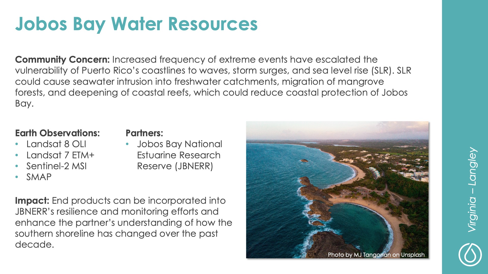
Jobos Bay Water Resources
DEVELOP Node: Virginia - LaRC

Community Concern: Increased frequency of extreme events have escalated the vulnerability of Puerto Rico’s coastlines to waves, storm surges, and sea level rise (SLR). SLR could cause seawater intrusion into freshwater catchments, migration of mangrove forests, and deepening of coastal reefs, which could reduce coastal protection of Jobos Bay.

Impact: End products can be incorporated into JBNERR’s resilience and monitoring efforts and enhance the partner’s understanding of how the southern shoreline has changed over the past decade.

Partners: Jobos Bay National Estuarine Research Reserve (JBNERR)

Earth Observations: Landsat 8 OLI, Landsat 7 ETM+, Sentinel-2 MSI, SMAP

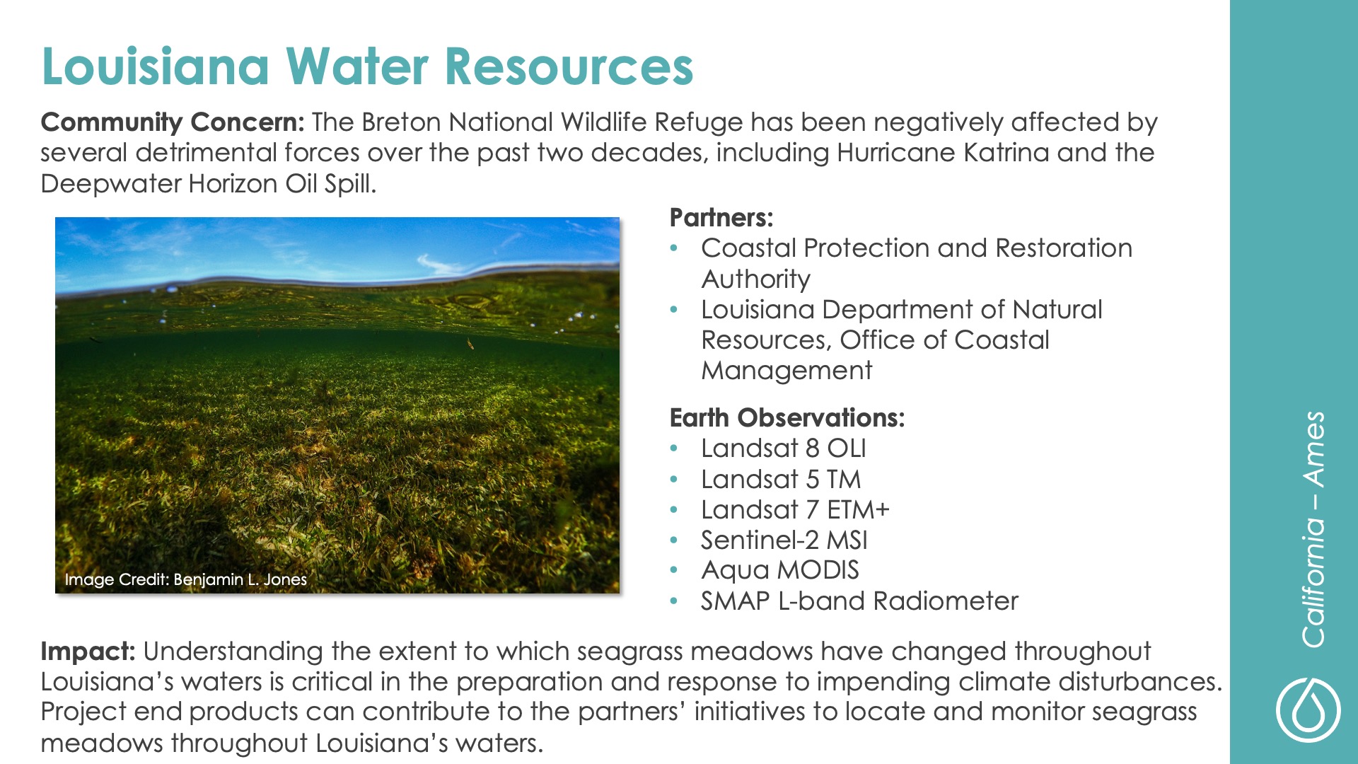
Louisiana Water Resources
DEVELOP Node: California - ARC

Community Concern: The Breton National Wildlife Refuge has been negatively affected by several detrimental forces over the past two decades, including Hurricane Katrina and the Deepwater Horizon Oil Spill.

Impact: Understanding the extent to which seagrass meadows have changed throughout Louisiana’s waters is critical in the preparation and response to impending climate disturbances. Project end products can contribute to the partners’ initiatives to locate and monitor seagrass meadows throughout Louisiana’s waters.

Partners: Coastal Protection and Restoration Authority, Louisiana Department of Natural Resources-Office of Coastal Management

Earth Observations: Landsat 8 OLI, Landsat 5 TM, Landsat 7 ETM+, Sentinel-2 MSI, Aqua MODIS, SMAP L-band Radiometer

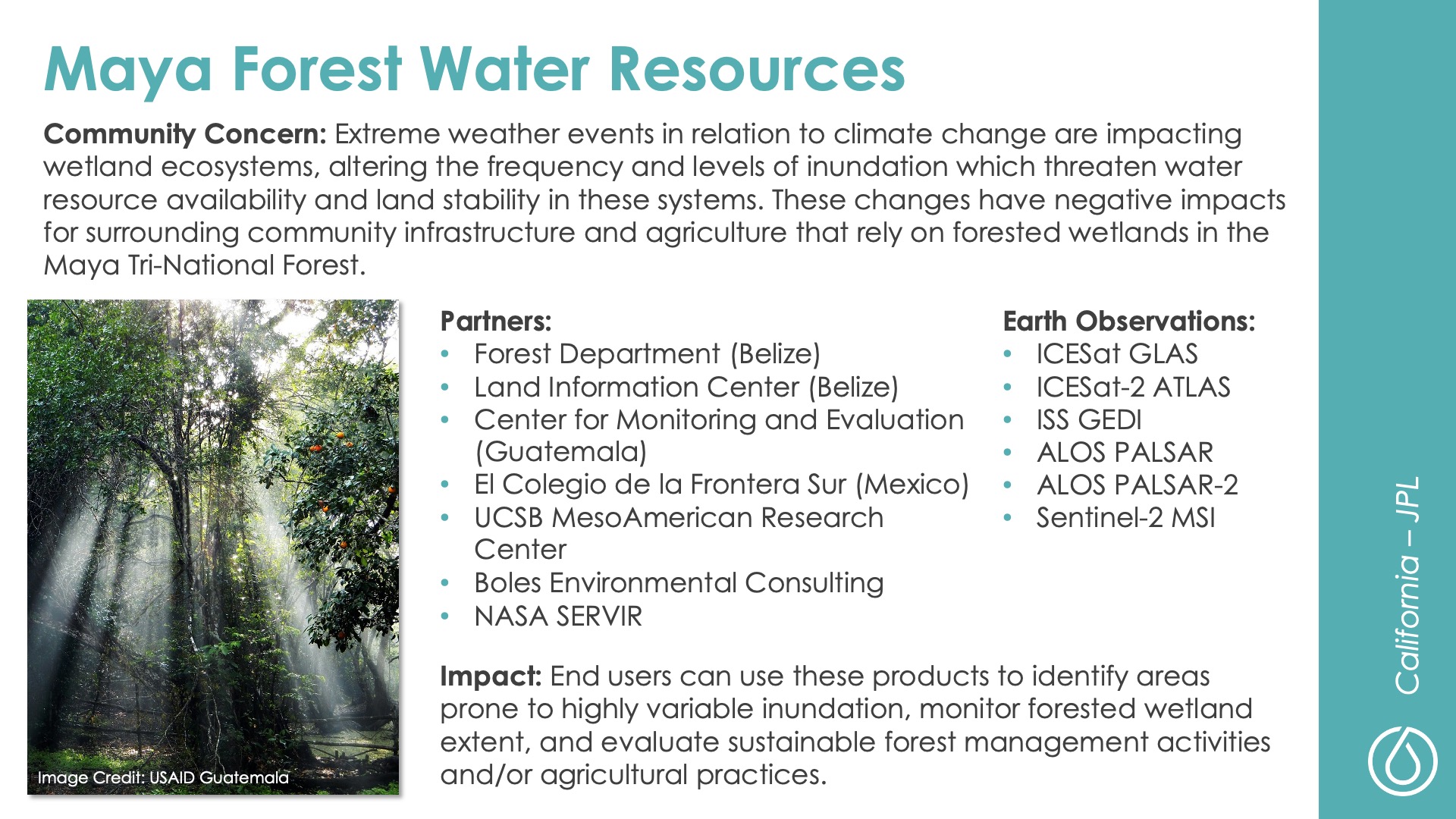
Maya Forest Water Resources
DEVELOP Node: California - JPL

Community Concern: Extreme weather events in relation to climate change are impacting wetland ecosystems, altering the frequency and levels of inundation which threaten water resource availability and land stability in these systems. These changes have negative impacts for surrounding community infrastructure and agriculture that rely on forested wetlands in the Maya Tri-National Forest.

Impact: End users can use these products to identify areas prone to highly variable inundation, monitor forested wetland extent, and evaluate sustainable forest management activities and/or agricultural practices.

Partners: Forest Department (Belize), Land Information Center (Belize), Center for Monitoring and Evaluation (Guatemala), El Colegio de la Frontera Sur (Mexico), UCSB MesoAmerican Research Center, Boles Environmental Consulting, NASA SERVIR

Earth Observations: ICESat GLAS, ICESat-2 ATLAS, ISS GEDI, ALOS PALSAR, ALOS PALSAR-2, Sentinel-2 MSI

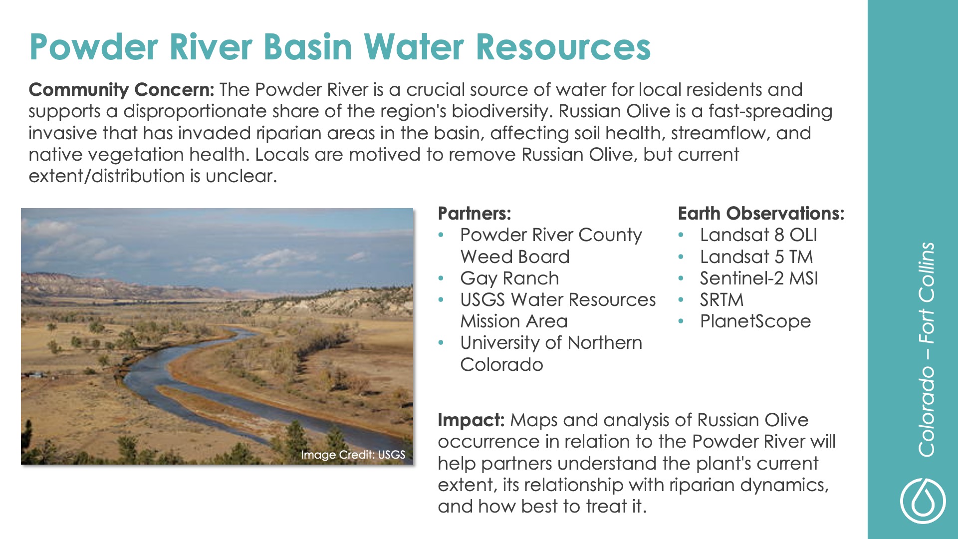
Powder River Basin Water Resources
DEVELOP Node: Colorado - Fort Collins

Community Concern: The Powder River is a crucial source of water for local residents and supports a disproportionate share of the region's biodiversity. Russian Olive is a fast-spreading invasive that has invaded riparian areas in the basin, affecting soil health, streamflow, and native vegetation health. Locals are motived to remove Russian Olive, but current extent/distribution is unclear.

Impact: Maps and analysis of Russian Olive occurrence in relation to the Powder River will help partners understand the plant's current extent, its relationship with riparian dynamics, and how best to treat it.

Partners: Powder River County Weed Board, Gay Ranch, USGS Water Resources Mission Area, University of Northern Colorado

Earth Observations: Landsat 8 OLI, Landsat 5 TM, Sentinel-2 MSI, SRTM, PlanetScope

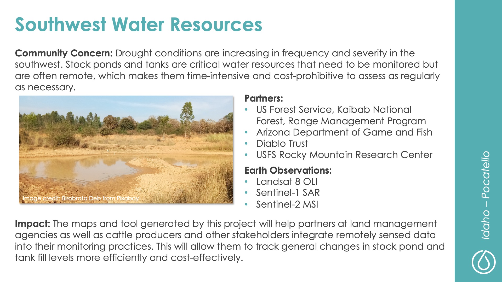
Southwest Water Resources
DEVELOP Node: Idaho - Pocatello

Community Concern: Drought conditions are increasing in frequency and severity in the southwest. Stock ponds and tanks are critical water resources that need to be monitored but are often remote, which makes them time-intensive and cost-prohibitive to assess as regularly as necessary.

Impact: The maps and tool generated by this project will help partners at land management agencies as well as cattle producers and other stakeholders integrate remotely sensed data into their monitoring practices. This will allow them to track general changes in stock pond and tank fill levels more efficiently and cost-effectively.

Partners: US Forest Service-Kaibab National Forest-Range Management Program, Arizona Department of Game and Fish, Diablo Trust, USFS Rocky Mountain Research Center

Earth Observations: Landsat 8 OLI, Sentinel-1 SAR, Sentinel-2 MSI

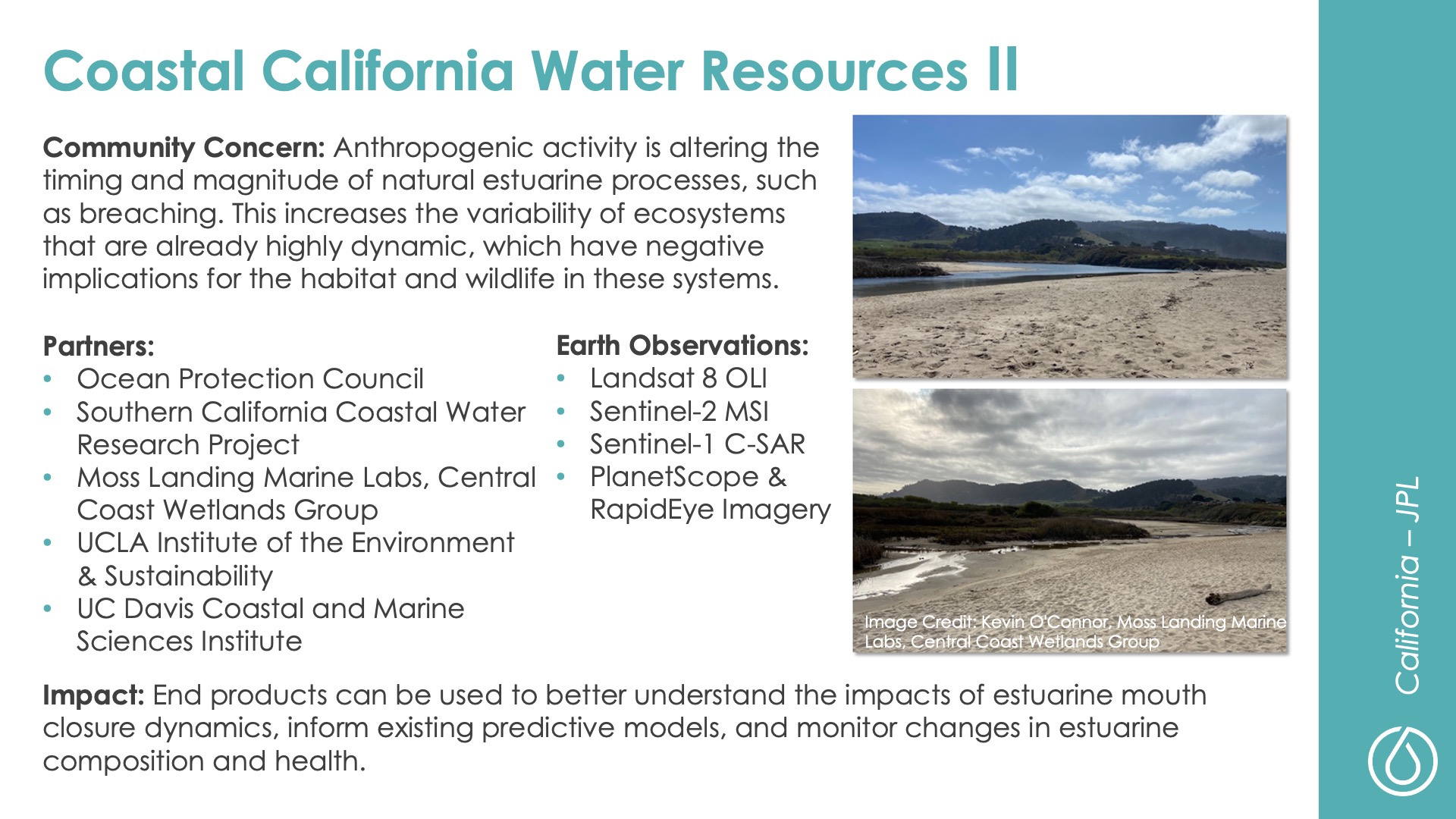
Coastal California Water Resources II
DEVELOP Node: California - JPL

Community Concern: Anthropogenic activity is altering the timing and magnitude of natural estuarine processes, such as breaching. This increases the variability of ecosystems that are already highly dynamic, which have negative implications for the habitat and wildlife in these systems.

Impact: End products can be used to better understand the impacts of estuarine mouth closure dynamics, inform existing predictive models, and monitor changes in estuarine composition and health.

Partners: Ocean Protection Council, Southern California Coastal Water Research Project, Moss Landing Marine Labs-Central Coast Wetlands Group, UCLA Institute of the Environment & Sustainability, UC Davis Coastal and Marine Sciences Institute

Earth Observations: Landsat 8 OLI, Sentinel-2 MSI, Sentinel-1 C-SAR, PlanetScope & RapidEye Imagery

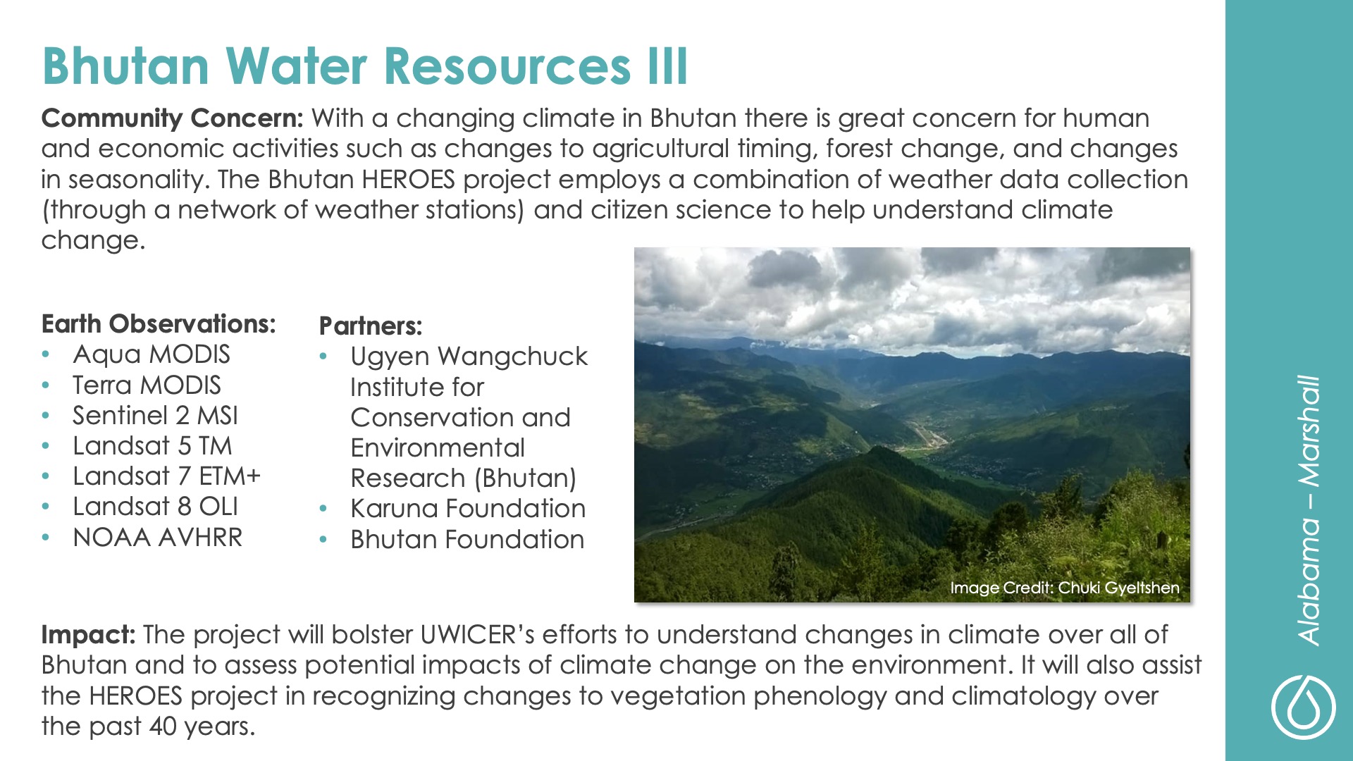
Bhutan Water Resources III
DEVELOP Node: Alabama - MSFC

Community Concern: With a changing climate in Bhutan there is great concern for human and economic activities such as changes to agricultural timing, forest change, and changes in seasonality. The Bhutan HEROES project employs a combination of weather data collection (through a network of weather stations) and citizen science to help understand climate change.

Impact: The project will bolster UWICER’s efforts to understand changes in climate over all of Bhutan and to assess potential impacts of climate change on the environment. It will also assist the HEROES project in recognizing changes to vegetation phenology and climatology over the past 40 years.

Partners: Ugyen Wangchuck Institute for Conservation and Environmental Research (Bhutan), Karuna Foundation, Bhutan Foundation

Earth Observations: Aqua MODIS, Terra MODIS, Sentinel 2 MSI, Landsat 5 TM, Landsat 7 ETM+, Landsat 8 OLI, NOAA AVHRR