Spring 2021 Preview

Spring 2021 Preview

DEVELOP’s spring 2021 term began on January 25th and will conclude on April 2nd. Seventy-one participants are working virtually from 22 states. The participants are working on 17 projects in the areas of Disasters, Ecological Forecasting, Food Security & Agriculture, Health & Air Quality, Urban Development, and Water Resources. The tentative project impacts and partners are shown below on the spring portfolio image. This term, ten Bhutanese scholars studying in the United States are continuing work on two DEVELOP projects studying community concerns in Bhutan through a multi-year Interagency Agreement with the U.S. Department of State.
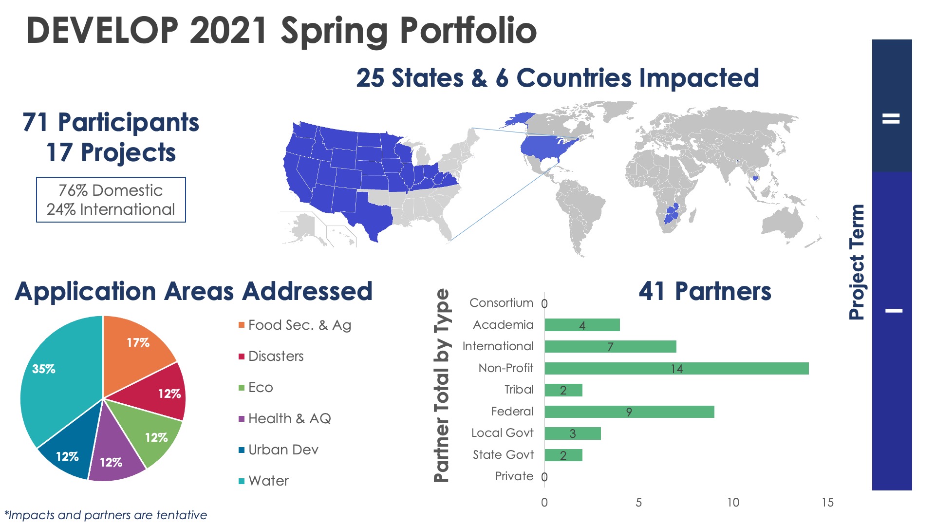
DEVELOP 2021 Spring Portfolio

Learn more about the spring 2021 projects being conducted below!

Disasters icon

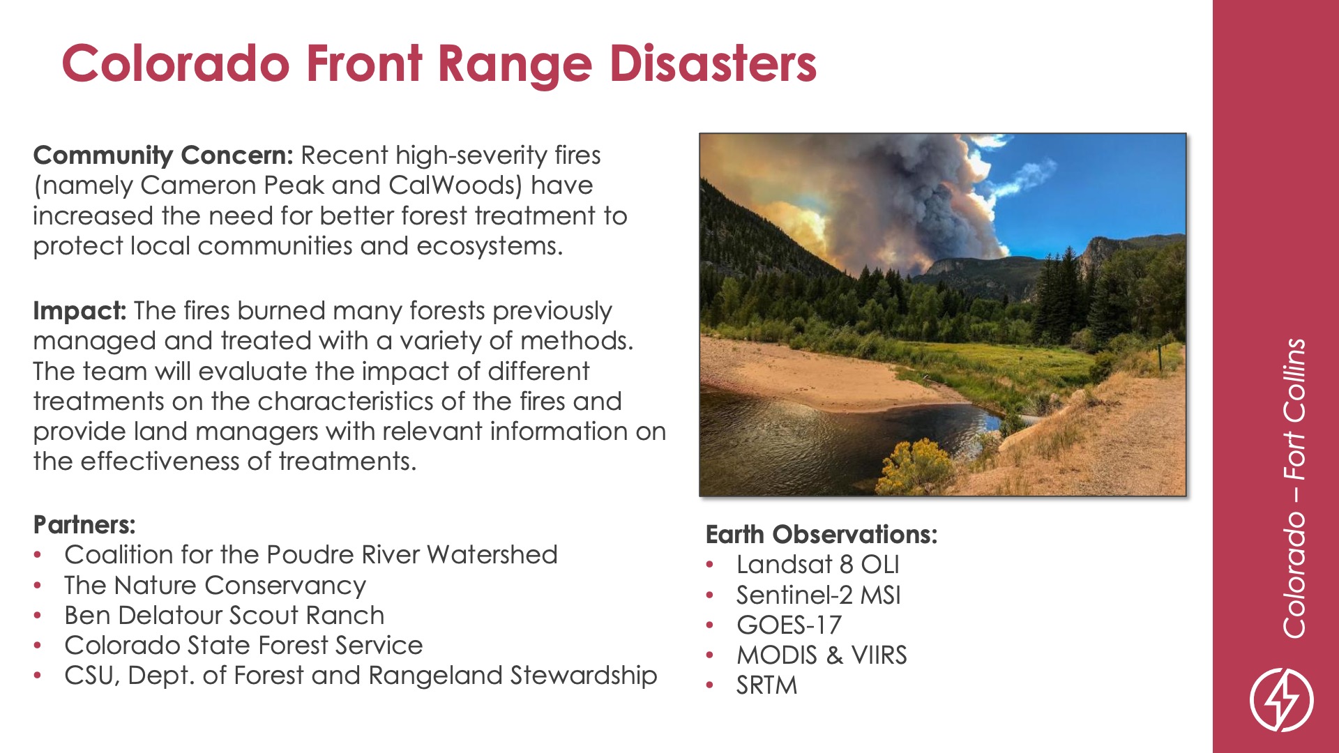
Slide title: Colorado Front Range Disasters
DEVELOP Node: Colorado - Fort Collins
Community Concern: Recent high-severity fires (namely Cameron Peak and CalWoods) have increased the need for better forest treatment to protect local communities and ecosystems.

Impact: The fires burned many forests previously managed and treated with a variety of methods. The team will evaluate the impact of different treatments on the characteristics of the fires and provide land managers with relevant information on the effectiveness of treatments.

Partners: Coalition for the Poudre River Watershed, The Nature Conservancy, Ben Delatour Scout Ranch, Colorado State Forest Service, CSU Dept. of Forest and Rangeland Stewardship

Earth Observations: Landsat 8 OLI, Sentinel-2 MSI, GOES-17, MODIS & VIIRS, SRTM

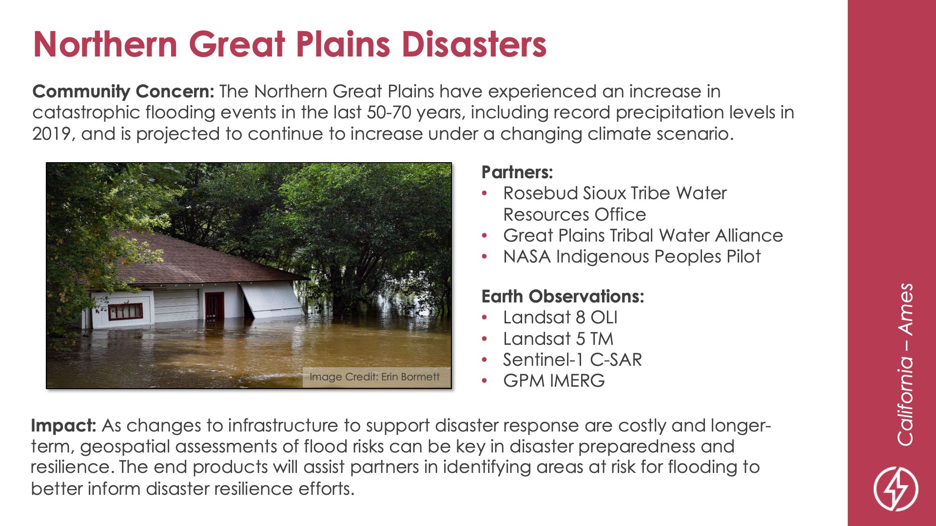
Slide title: Northern Great Plains Disasters
DEVELOP Node: California - Ames
Community Concern: The Northern Great Plains have experienced an increase in catastrophic flooding events in the last 50-70 years, including record precipitation levels in 2019, and is projected to continue to increase under a changing climate scenario.

Impact: As changes to infrastructure to support disaster response are costly and longer-term, geospatial assessments of flood risks can be key in disaster preparedness and resilience. The end products will assist partners in identifying areas at risk for flooding to better inform disaster resilience efforts.

Partners: Rosebud Sioux Tribe Water Resources Office, Great Plains Tribal Water Alliance, NASA Indigenous Peoples Pilot

Earth Observations: Landsat 8 OLI, Landsat 5 TM, Sentinel-1 C-SAR, GPM IMERG

Ecological forecasting icon

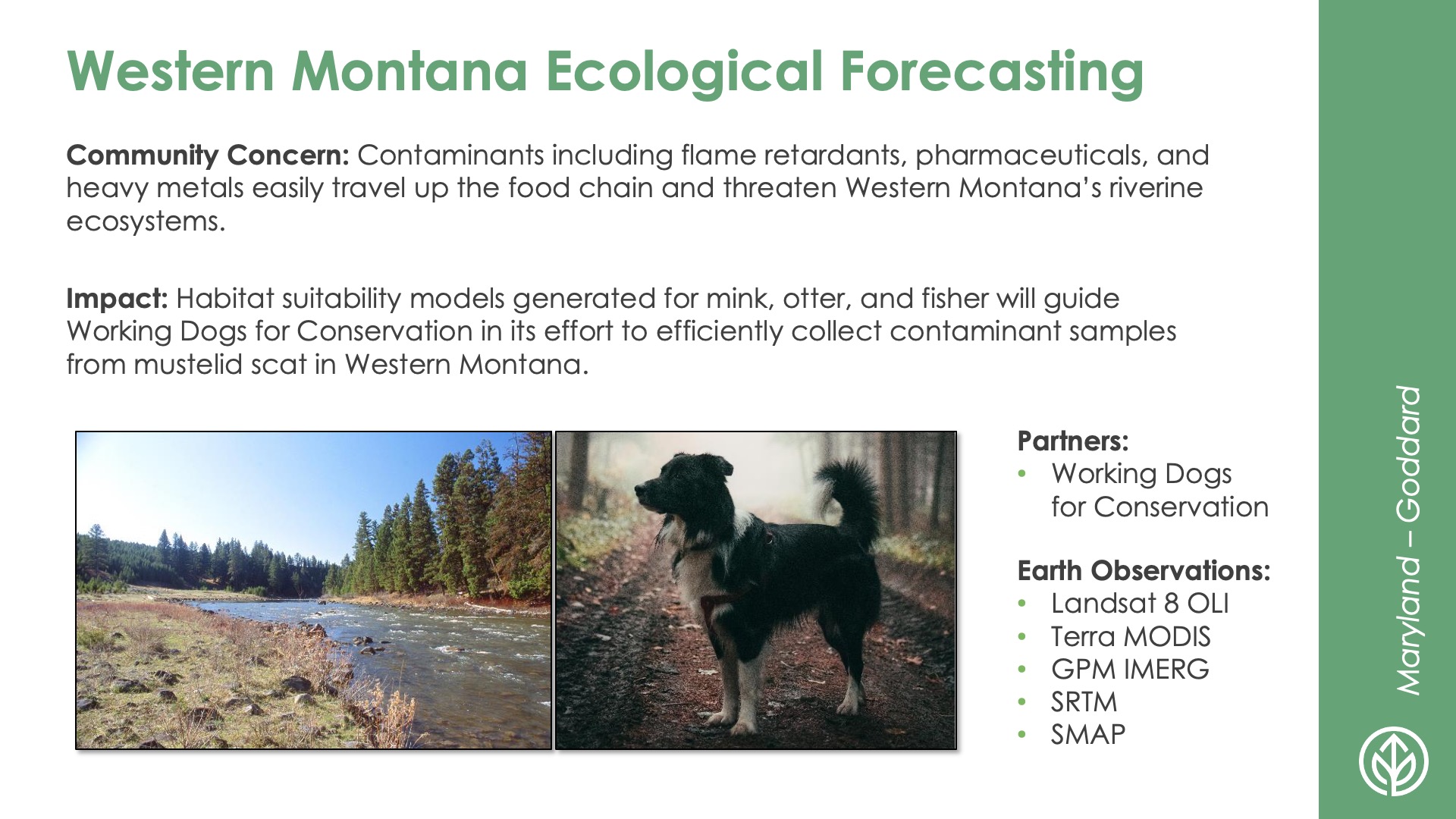
Slide title: Western Montana Ecological Forecasting
DEVELOP Node: Maryland - Goddard
Community Concern: Contaminants including flame retardants, pharmaceuticals, and heavy metals easily travel up the food chain and threaten Western Montana’s riverine ecosystems.

Impact: Habitat suitability models generated for mink, otter, and fisher will guide Working Dogs for Conservation in its effort to efficiently collect contaminant samples from mustelid scat in Western Montana.

Partners: Working Dogs for Conservation

Earth Observations: Landsat 8 OLI, Terra MODIS. GPM IMERG. SRTM, SMAP

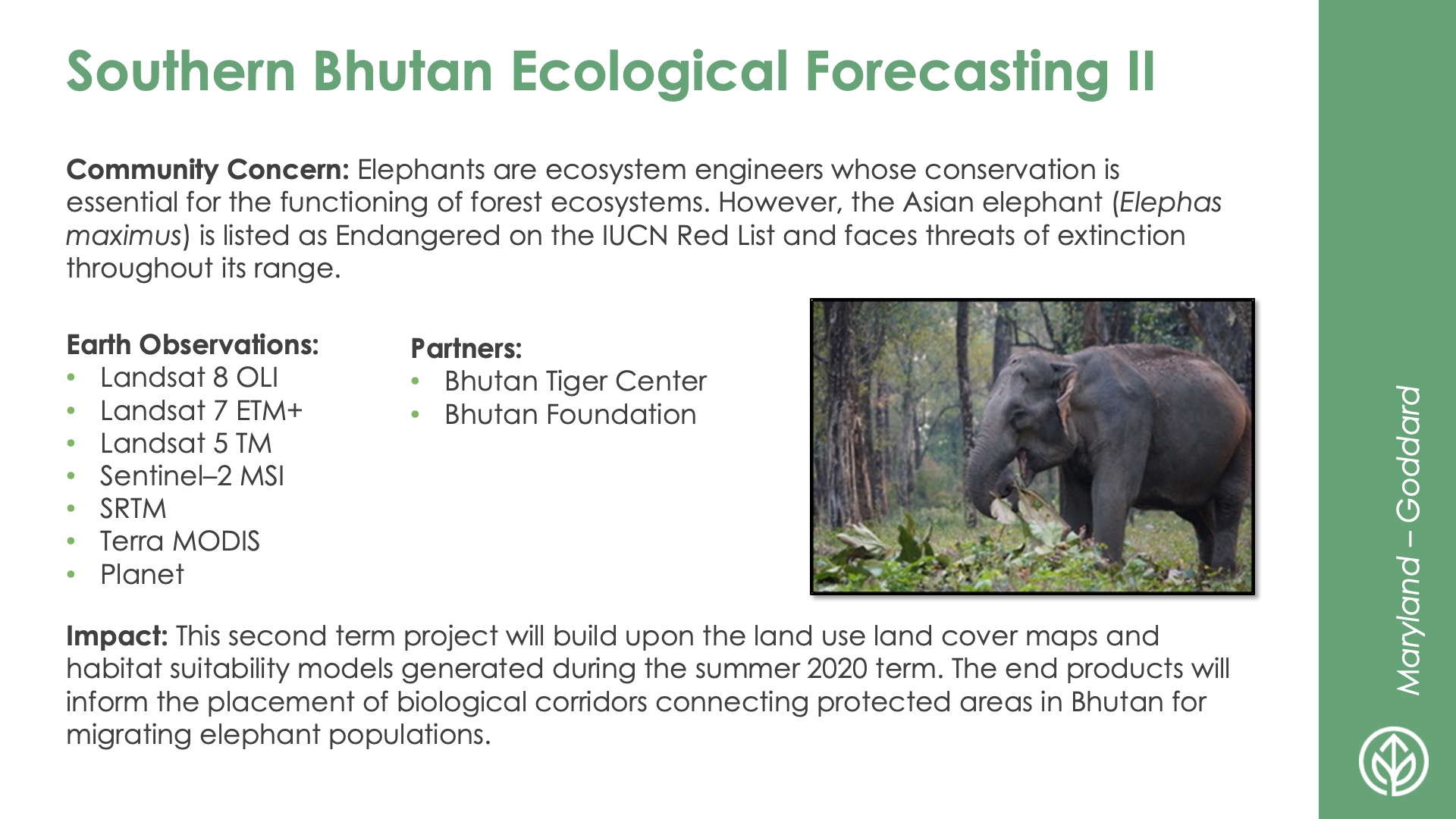
Slide title: Southern Bhutan Ecological Forecasting II
DEVELOP Node: Maryland - Goddard
Community Concern: Elephants are ecosystem engineers whose conservation is essential for the functioning of forest ecosystems. However, the Asian elephant (Elephas maximus) is listed as Endangered on the IUCN Red List and faces threats of extinction throughout its range.

Impact: This second term project will build upon the land use land cover maps and habitat suitability models generated during the summer 2020 term. The end products will inform the placement of biological corridors connecting protected areas in Bhutan for migrating elephant populations.

Partners: Bhutan Tiger Center, Bhutan Foundation

Earth Observations: Landsat 8 OLI, Landsat 7 ETM+, Landsat 5 TM, Sentinel–2 MSI, SRTM, Terra MODIS, Planet

Food Security & Agriculture icon

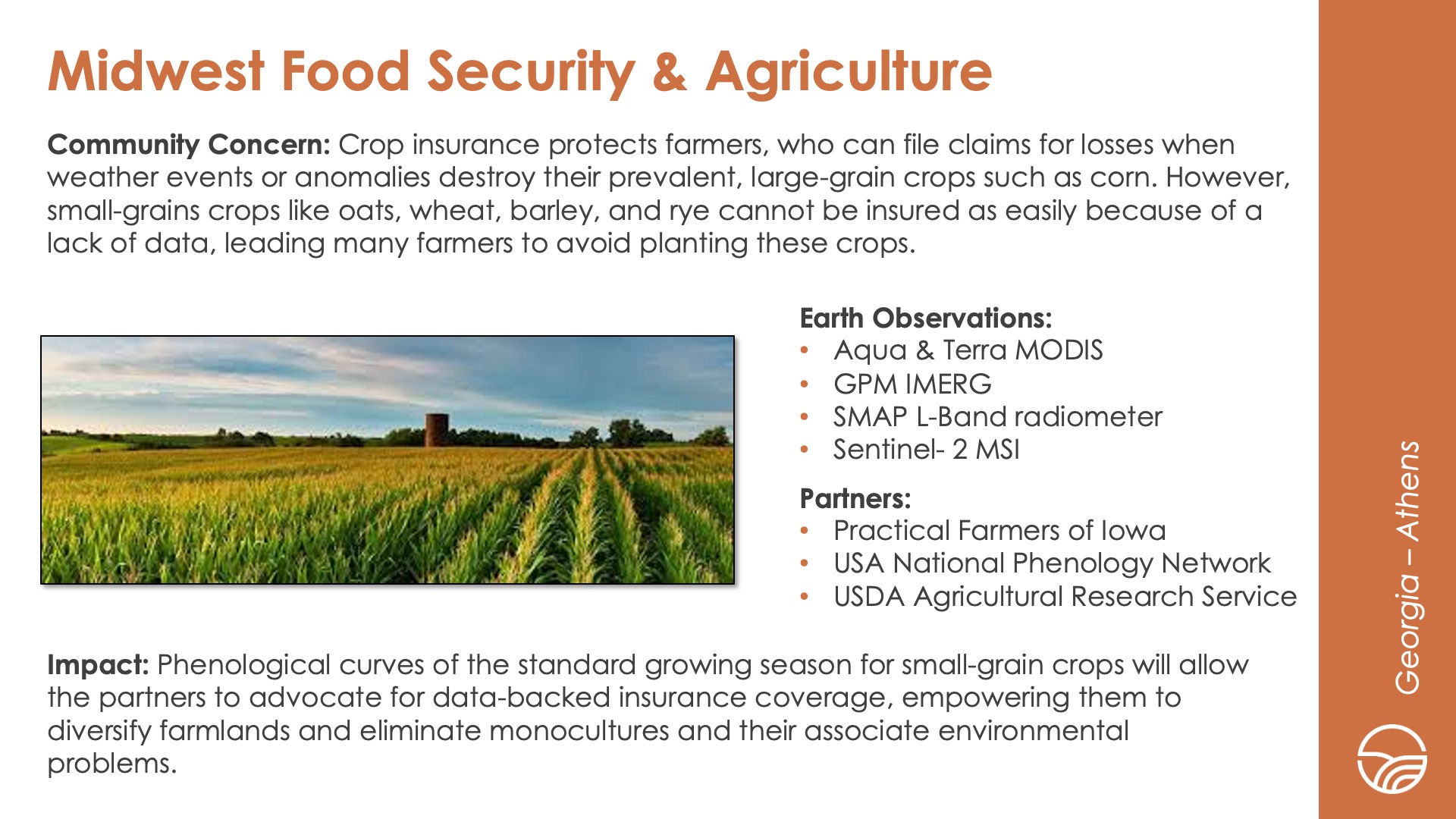
Slide title: Midwest Food Security & Agriculture
DEVELOP Node: Georgia - Athens
Community Concern: Crop insurance protects farmers, who can file claims for losses when weather events or anomalies destroy their prevalent, large-grain crops such as corn. However, small-grains crops like oats, wheat, barley, and rye cannot be insured as easily because of a lack of data, leading many farmers to avoid planting these crops.

Impact: Phenological curves of the standard growing season for small-grain crops will allow the partners to advocate for data-backed insurance coverage, empowering them to diversify farmlands and eliminate monocultures and their associate environmental problems.

Partners: Practical Farmers of Iowa, USA National Phenology Network, USDA Agricultural Research Service

Earth Observations: Aqua & Terra MODIS, GPM IMERG, SMAP L-Band radiometer, Sentinel- 2 MSI

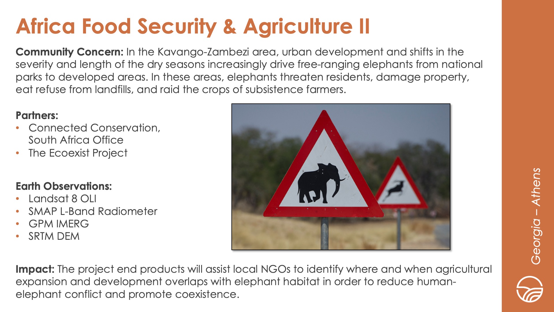
Slide title: Africa Food Security & Agriculture II
DEVELOP Node: Georgia - Athens
Community Concern: In the Kavango-Zambezi area, urban development and shifts in the severity and length of the dry seasons increasingly drive free-ranging elephants from national parks to developed areas. In these areas, elephants threaten residents, damage property, eat refuse from landfills, and raid the crops of subsistence farmers.

Impact: The project end products will assist local NGOs to identify where and when agricultural expansion and development overlaps with elephant habitat in order to reduce human-elephant conflict and promote coexistence.

Partners: Connected Conservation, South Africa Office, The Ecoexist Project

Earth Observations: Landsat 8 OLI, SMAP L-Band Radiometer, GPM IMERG, SRTM DEM

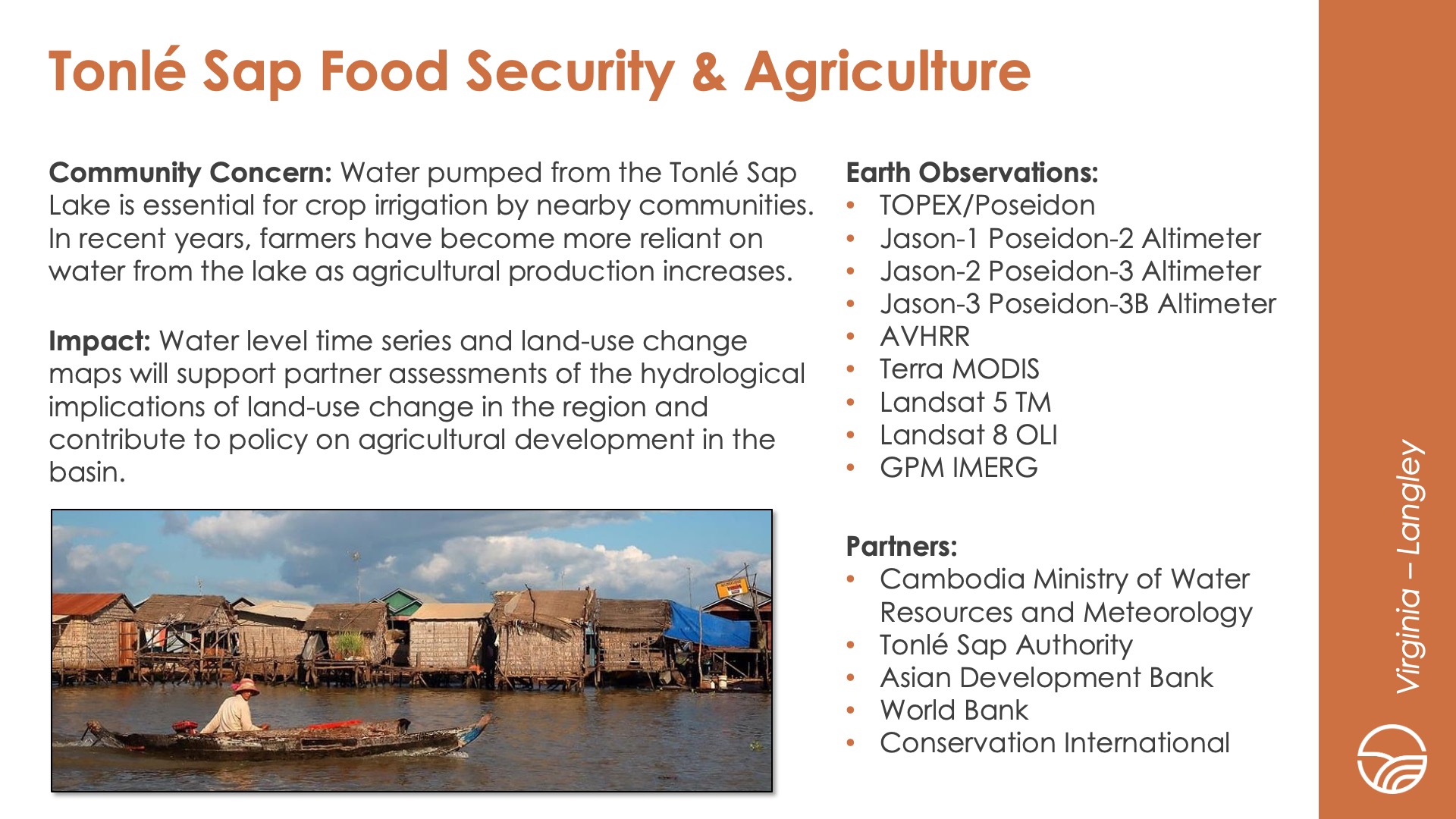
Slide title: Tonlé Sap Food Security & Agriculture
DEVELOP Node: Virginia - Langley
Community Concern: Water pumped from the Tonlé Sap Lake is essential for crop irrigation by nearby communities. In recent years, farmers have become more reliant on water from the lake as agricultural production increases.

Impact: Water level time series and land-use change maps will support partner assessments of the hydrological implications of land-use change in the region and contribute to policy on agricultural development in the basin.

Partners: Cambodia Ministry of Water Resources and Meteorology, Tonlé Sap Authority, Asian Development Bank, World Bank, Conservation International

Earth Observations: TOPEX/Poseidon, Jason-1 Poseidon-2 Altimeter, Jason-2 Poseidon-3 Altimeter, Jason-3 Poseidon-3B Altimeter, AVHRR, Terra MODIS, Landsat 5 TM, Landsat 8 OLI, GPM IMERG

Health & air quality icon

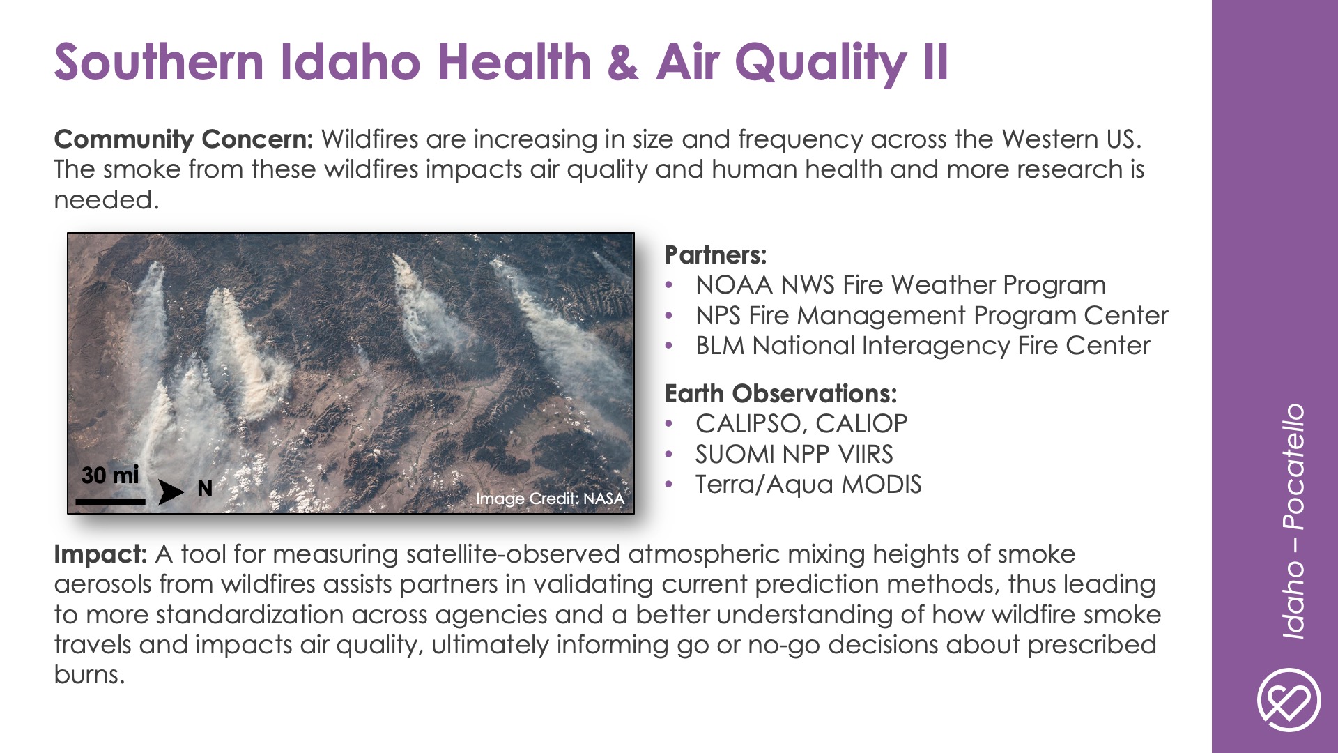
Slide title: Southern Idaho Health & Air Quality II
DEVELOP Node: Idaho - Pocatello
Community Concern: Wildfires are increasing in size and frequency across the Western US. The smoke from these wildfires impacts air quality and human health and more research is needed.

Impact: A tool for measuring satellite-observed atmospheric mixing heights of smoke aerosols from wildfires assists partners in validating current prediction methods, thus leading to more standardization across agencies and a better understanding of how wildfire smoke travels and impacts air quality, ultimately informing go or no-go decisions about prescribed burns.

Partners: NOAA NWS Fire Weather Program, NPS Fire Management Program Center, BLM National Interagency Fire Center

Earth Observations: CALIPSO, CALIOP, SUOMI NPP VIIRS, Terra/Aqua MODIS

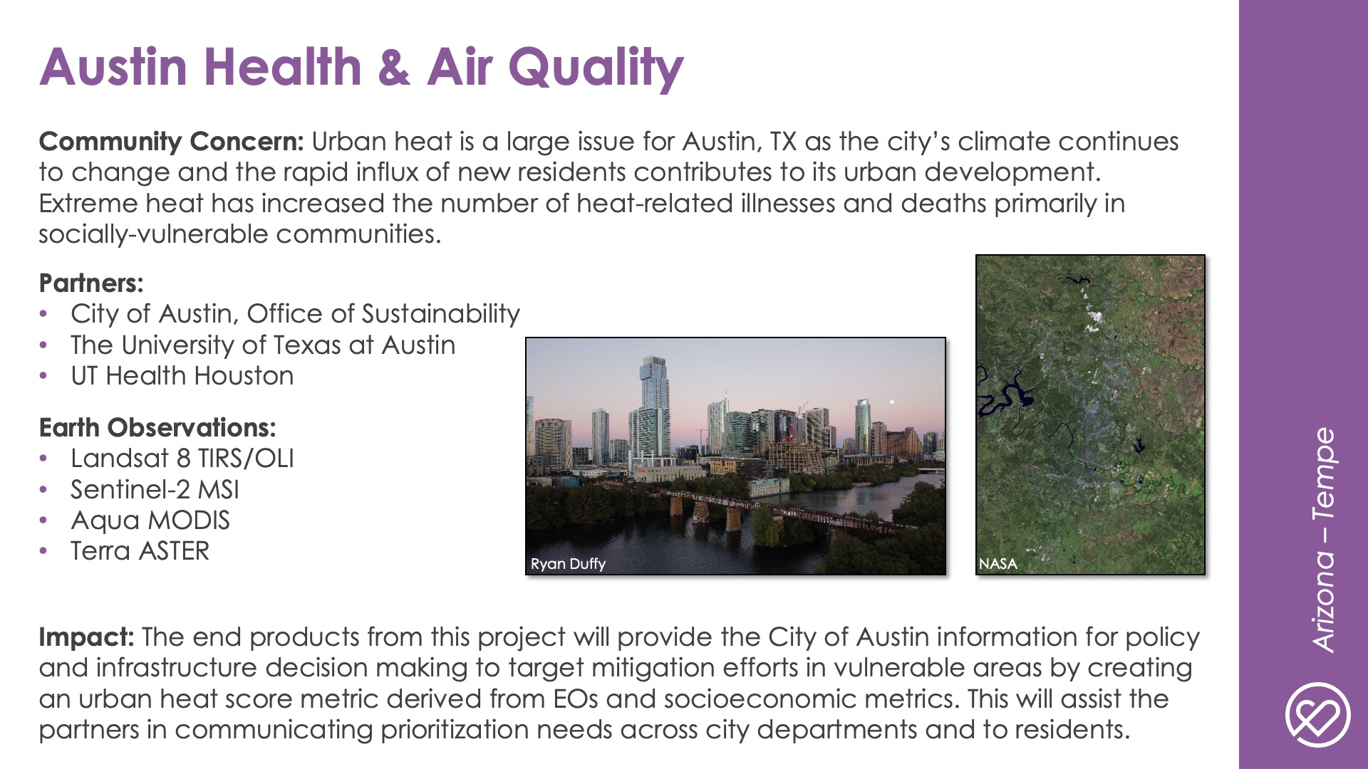
Slide title: Austin Health & Air Quality
DEVELOP Node: Arizona - Tempe
Community Concern: Urban heat is a large issue for Austin, TX as the city’s climate continues to change and the rapid influx of new residents contributes to its urban development. Extreme heat has increased the number of heat-related illnesses and deaths primarily in socially-vulnerable communities.

Impact: The end products from this project will provide the City of Austin information for policy and infrastructure decision making to target mitigation efforts in vulnerable areas by creating an urban heat score metric derived from EOs and socioeconomic metrics. This will assist the partners in communicating prioritization needs across city departments and to residents.

Partners: City of Austin, Office of Sustainability, The University of Texas at Austin, UT Health Houston

Earth Observations: Landsat 8 TIRS/OLI, Sentinel-2 MSI, Aqua MODIS, Terra ASTER

Urban development icon

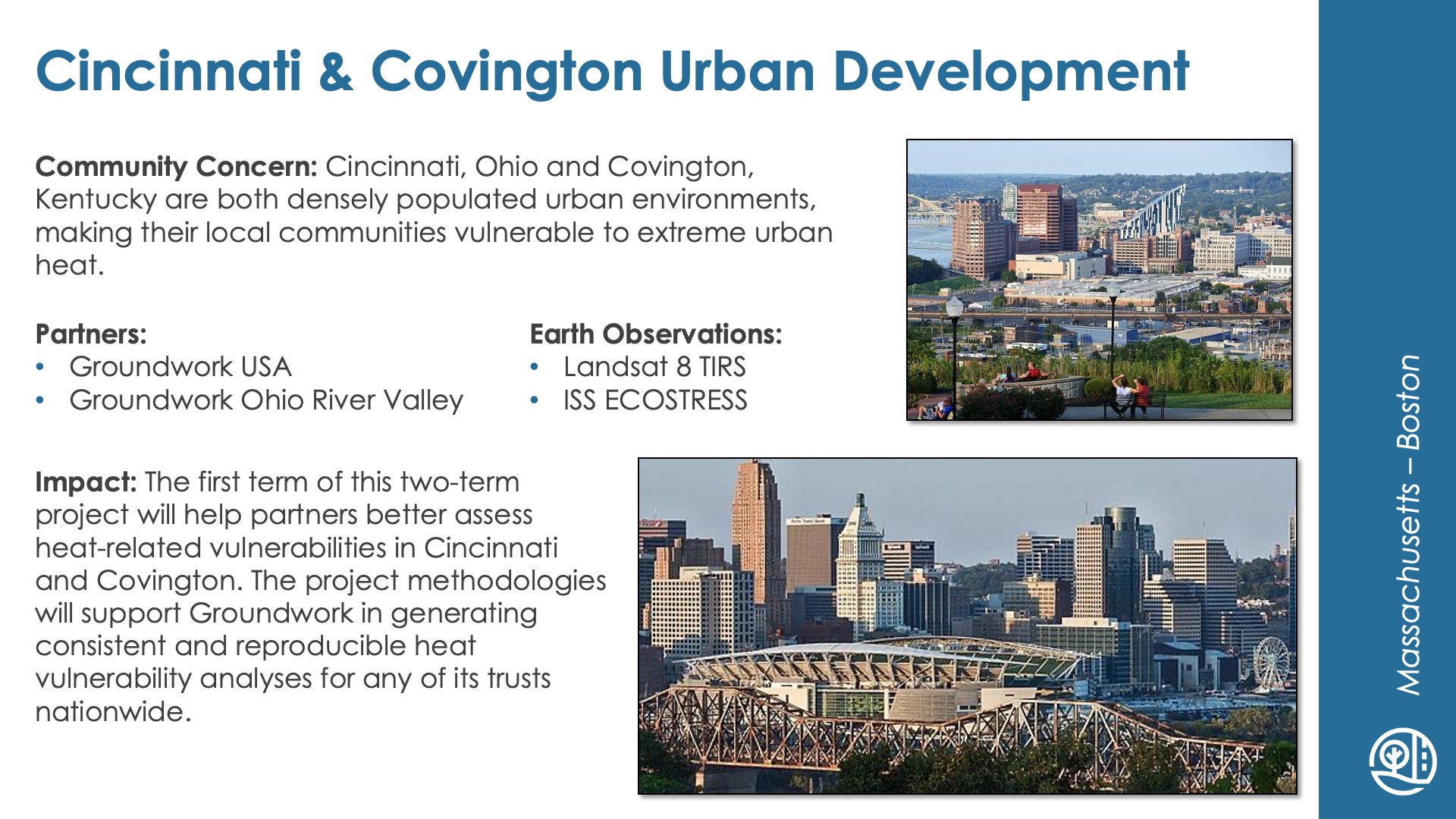
Slide title: Cincinnati & Covington Urban Development
DEVELOP Node: Massachusetts - Boston
Community Concern: Cincinnati, Ohio and Covington, Kentucky are both densely populated urban environments, making their local communities vulnerable to extreme urban heat.

Impact: The first term of this two-term project will help partners better assess heat-related vulnerabilities in Cincinnati and Covington. The project methodologies will support Groundwork in generating consistent and reproducible heat vulnerability analyses for any of its trusts nationwide.

Partners: Groundwork USA, Groundwork Ohio River Valley

Earth Observations: Landsat 8 TIRS, ISS ECOSTRESS

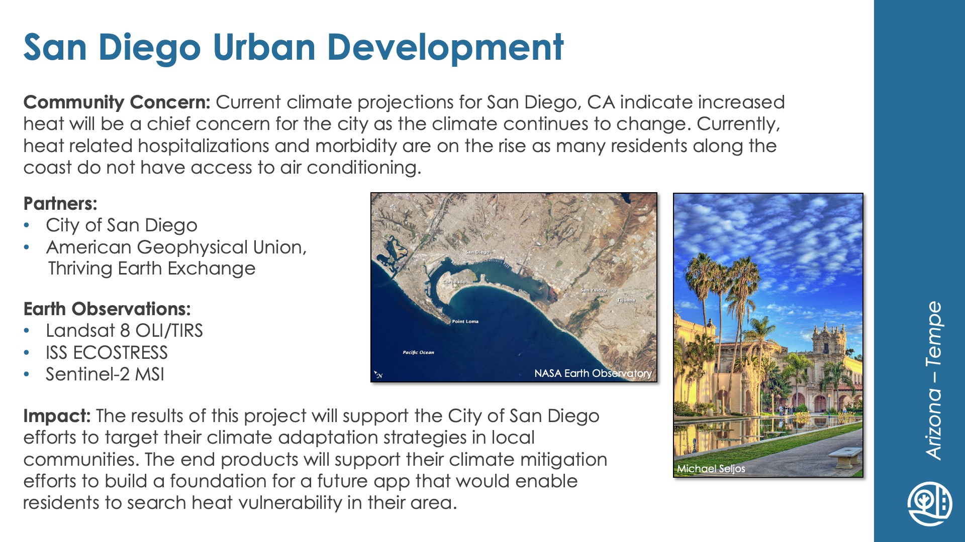
Slide title: San Diego Urban Development
DEVELOP Node: Arizona - Tempe
Community Concern: Current climate projections for San Diego, CA indicate increased heat will be a chief concern for the city as the climate continues to change. Currently, heat related hospitalizations and morbidity are on the rise as many residents along the coast do not have access to air conditioning.

Impact: The results of this project will support the City of San Diego efforts to target their climate adaptation strategies in local communities. The end products will support their climate mitigation efforts to build a foundation for a future app that would enable residents to search heat vulnerability in their area.

Partners: City of San Diego, American Geophysical Union, Thriving Earth Exchange

Earth Observations: Landsat 8 OLI/TIRS, ISS ECOSTRESS, Sentinel-2 MSI

Water resources icon

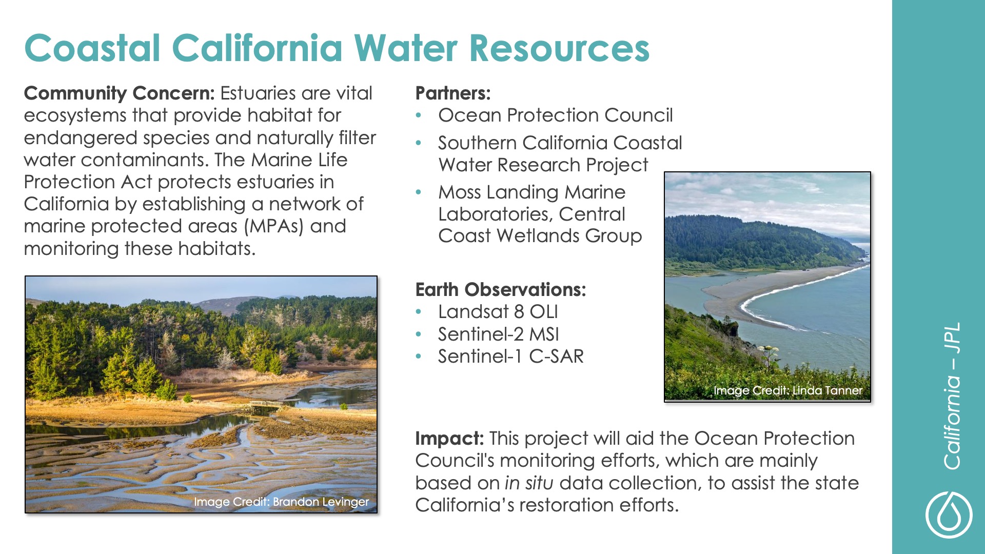
Slide title: Coastal California Water Resources
DEVELOP Node: California - JPL
Community Concern: Estuaries are vital ecosystems that provide habitat for endangered species and naturally filter water contaminants. The Marine Life Protection Act protects estuaries in California by establishing a network of marine protected areas (MPAs) and monitoring these habitats.

Impact: This project will aid the Ocean Protection Council's monitoring efforts, which are mainly based on in situ data collection, to assist the state California’s restoration efforts.

Partners: Ocean Protection Council, Southern California Coastal Water Research Project, Moss Landing Marine Laboratories, Central Coast Wetlands Group

Earth Observations: Landsat 8 OLI, Sentinel-2 MSI, Sentinel-1 C-SAR

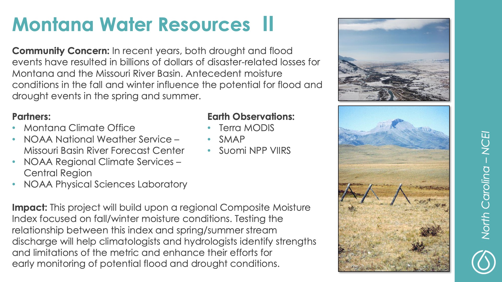
Slide title: Montana Water Resources II
DEVELOP Node: North Carolina - NCEI
Community Concern: In recent years, both drought and flood events have resulted in billions of dollars of disaster-related losses for Montana and the Missouri River Basin. Antecedent moisture conditions in the fall and winter influence the potential for flood and drought events in the spring and summer.

Impact: This project will build upon a regional Composite Moisture Index focused on fall/winter moisture conditions. Testing the relationship between this index and spring/summer stream discharge will help climatologists and hydrologists identify strengths and limitations of the metric and enhance their efforts for early monitoring of potential flood and drought conditions.

Partners: Montana Climate Office, NOAA National Weather Service – Missouri Basin River Forecast Center, NOAA Regional Climate Services – Central Region, NOAA Physical Sciences Laboratory

Earth Observations: Terra MODIS, SMAP, Suomi NPP VIIRS

Slide title: Bhutan Water Resources II
DEVELOP Node: Alabama - Marshall
Community Concern: The Bhutan HEROES project employs a combination of weather data collection and citizen science to help understand climate change. There is a need to incorporate satellite data to better understand how the local climate is changing.

Impact: The results from the project will assist the Ugyen Wangchuck Institute for Conservation and Environmental Research (UWICER) to bolster the efforts of HEROES to monitor climate change and its impact on the Himalayan mountain ecosystem. This project will expand on educational outreach and help raise awareness for climate change mitigation.

Partners: Ugyen Wangchuck Institute for Conservation and Environmental Research (Bhutan), Karuna Foundation, Bhutan Foundation

Earth Observations: Aqua MODIS, Terra MODIS, NOAA AVHRR

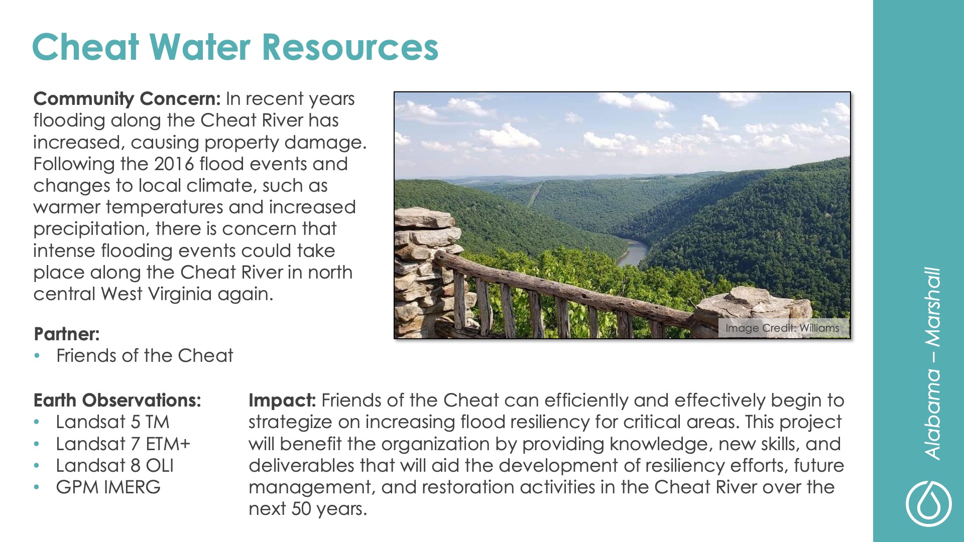
Slide title: Cheat Water Resources
DEVELOP Node: Alabama - Marshall
Community Concern: In recent years flooding along the Cheat River has increased, causing property damage. Following the 2016 flood events and changes to local climate, such as warmer temperatures and increased precipitation, there is concern that intense flooding events could take place along the Cheat River in north central West Virginia again.

Impact: Friends of the Cheat can efficiently and effectively begin to strategize on increasing flood resiliency for critical areas. This project will benefit the organization by providing knowledge, new skills, and deliverables that will aid the development of resiliency efforts, future management, and restoration activities in the Cheat River over the next 50 years.

Partner: Friends of the Cheat

Earth Observations: Landsat 5 TM, Landsat 7 ETM+, Landsat 8 OLI, GPM IMERG

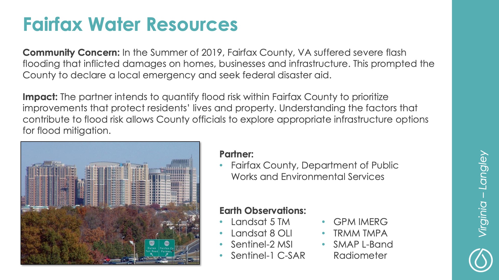
Slide title: Fairfax Water Resources
DEVELOP Node: Virginia - Langley
Community Concern: In the Summer of 2019, Fairfax County, VA suffered severe flash flooding that inflicted damages on homes, businesses and infrastructure. This prompted the County to declare a local emergency and seek federal disaster aid.

Impact: The partner intends to quantify flood risk within Fairfax County to prioritize improvements that protect residents’ lives and property. Understanding the factors that contribute to flood risk allows County officials to explore appropriate infrastructure options for flood mitigation.

Partner: Fairfax County, Department of Public Works and Environmental Services

Earth Observations: Landsat 5 TM, Landsat 8 OLI, Sentinel-2 MSI, Sentinel-1 C-SAR, GPM IMERG, TRMM TMPA, SMAP L-Band Radiometer

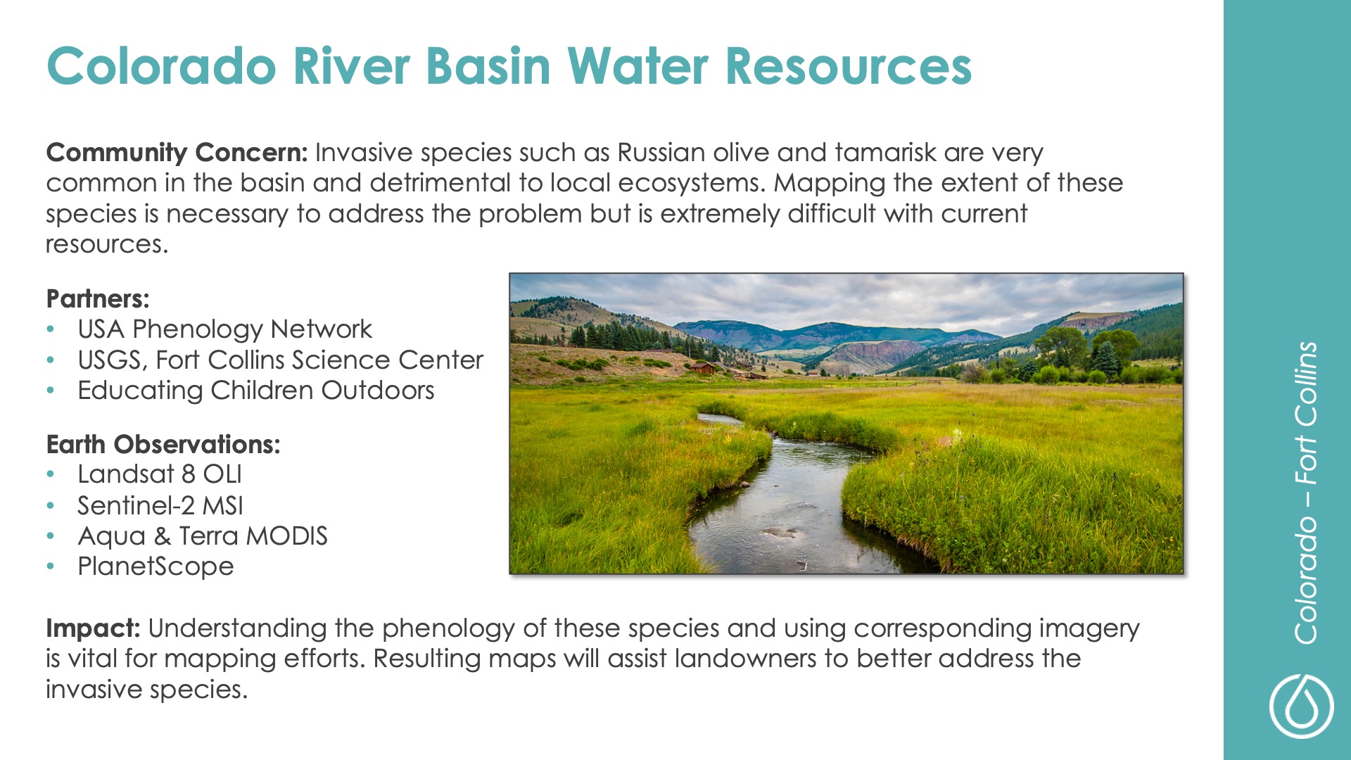
Slide title: Colorado River Basin Water Resources
DEVELOP Node: Colorado - Fort Collins
Community Concern: Invasive species such as Russian olive and tamarisk are very common in the basin and detrimental to local ecosystems. Mapping the extent of these species is necessary to address the problem but is extremely difficult with current resources.

Impact: Understanding the phenology of these species and using corresponding imagery is vital for mapping efforts. Resulting maps will assist landowners to better address the invasive species.

Partners: USA Phenology Network, USGS, Fort Collins Science Center, Educating Children Outdoors

Earth Observations: Landsat 8 OLI, Sentinel-2 MSI, Aqua & Terra MODIS, PlanetScope