DEVELOPing Connections
Mapping Gopher Frogs in the Conecuh National Forest
Darcy Gray | Fellow, NASA DEVELOP, Georgia location
February 1, 2021

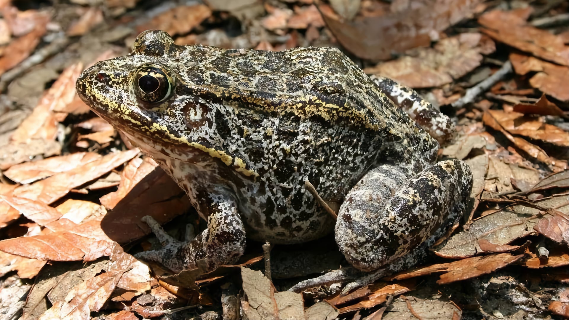
The endangered gopher frog (Lithobates capito) Image credit: Mark Bailey (US Forest Service)

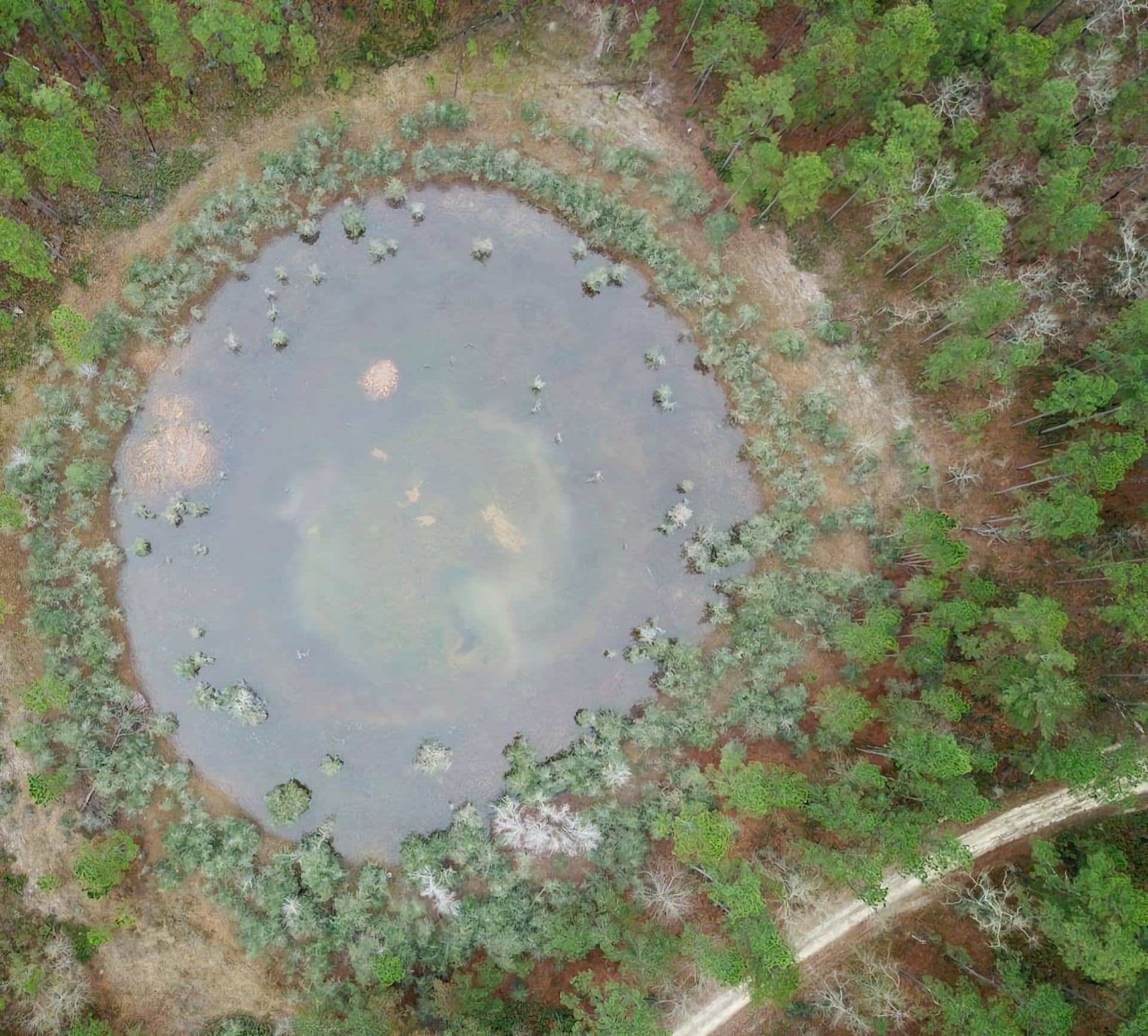
Seasonal ponds make ideal breeding sites for gopher frogs since they lack predatory fish and provide a safe refuge. Image credit: Mark Bailey (US Forest Service)
The gopher frog, Lithobates capito, is an endangered frog species found in the southeastern United States. This species is expected to face extinction within the century due to habitat loss. The gopher frog thrives in longleaf pine wetlands, which have significantly decreased over the past century, and it breeds in ephemeral seasonal ponds that lack predatory fish and provide a safe refuge.
The conservation biologists in Conecuh National Forest who work to study and protect this frog have the difficult task of surveying the forest for potential breeding ponds. With 83,000 acres lying within the forest bounds, this task can be challenging. The team works with a network of staff and volunteers to survey the park on the ground and report any new occurrences of gopher frogs.

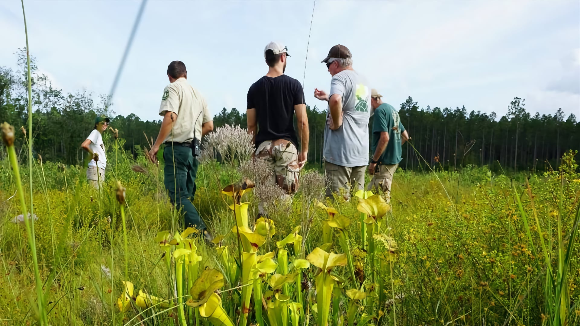
The NASA DEVELOP team joined their partners for a day of data collection in Conecuh National Forest. Image credit: NASA DEVELOP
Derek Colbert, District Wildlife Biologist for Conecuh National Forest, works on gopher frog conservation in the park and spoke with us about the impact that NASA DEVELOP has on the team’s efforts. “As you can imagine, with this much land it’s a slow process discovering new breeding ponds. We knew the next step would be aerial imagery and that we wanted to go in that direction,” says Colbert.
During the summer 2019 term, the NASA DEVELOP team at Marshall Space Flight Center (MSFC) partnered with the Gopher Frog Working Group (GFWG), which includes the Alabama Department of Conservation and Natural Resources, the United States Forest Service’s Conecuh National Forest, and the Mississippi State University College of Forest Resources.
After joining the GFWG partners in the field for hands-on data collection, the DEVELOP MSFC team and partners identified research strategies. Using a suite of NASA Earth observations including Landsat 5 Thematic Mapper, Landsat 8 Operational Land Imager, the Shuttle Radar Topography Mission, and the ESA Sentinel-1 C-band Synthetic Aperture Radar, the DEVELOP team generated wetland classifications, vegetation density analysis, and a habitat suitability model.

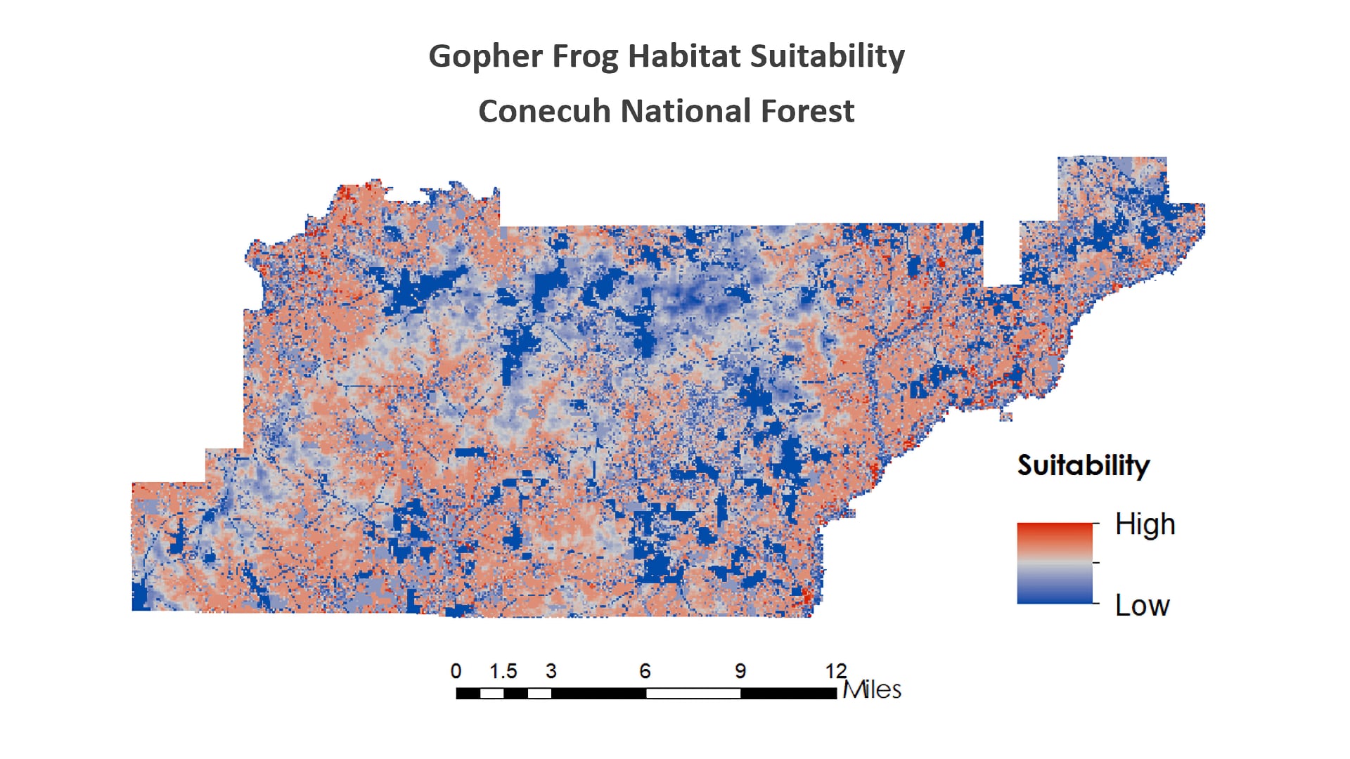
A suitability map generated by the NASA DEVELOP team illustrates highly suitable gopher frog habitat areas that could be prioritized for the protection of the gopher frog. Image credit: NASA DEVELOP
The GFWG has been using the map products from the project, particularly the wetland classification maps, to identify potential gopher frog breeding pond locations. These maps enabled the team to systematically visit the locations identified by the DEVELOP team and check these ponds for breeding populations.
The DEVELOP team generated preliminary habitat suitability maps. The partners are interested in enhancing these with new field data since recent research in Conecuh National Forest may identify critical factors for gopher frog habitat that could be input into an updated model. Together, habitat suitability maps in conjunction with the wetland classification maps will assist the researchers to more accurately locate potential breeding ponds for the frog.
“This forest is possibly the last stronghold in the state for the gopher frogs,” explains Colbert, “and it’s really important to be able to identify those breeding ponds.” His team has not found any populations of frogs in the ponds identified, but they are optimistic that new breeding groups may be found from the habitat suitability maps, and that the NASA DEVELOP results will guide the GFWG to incorporate satellite data in future work.