DEVELOPing Connections at DEVELOP’s Goddard Space Flight Center location
Disasters in DEVELOP’s Backyard: Exploring the 2016 and 2018 floods in Ellicott City, Maryland at DEVELOP’s GSFC location
by Abigail Barenblitt

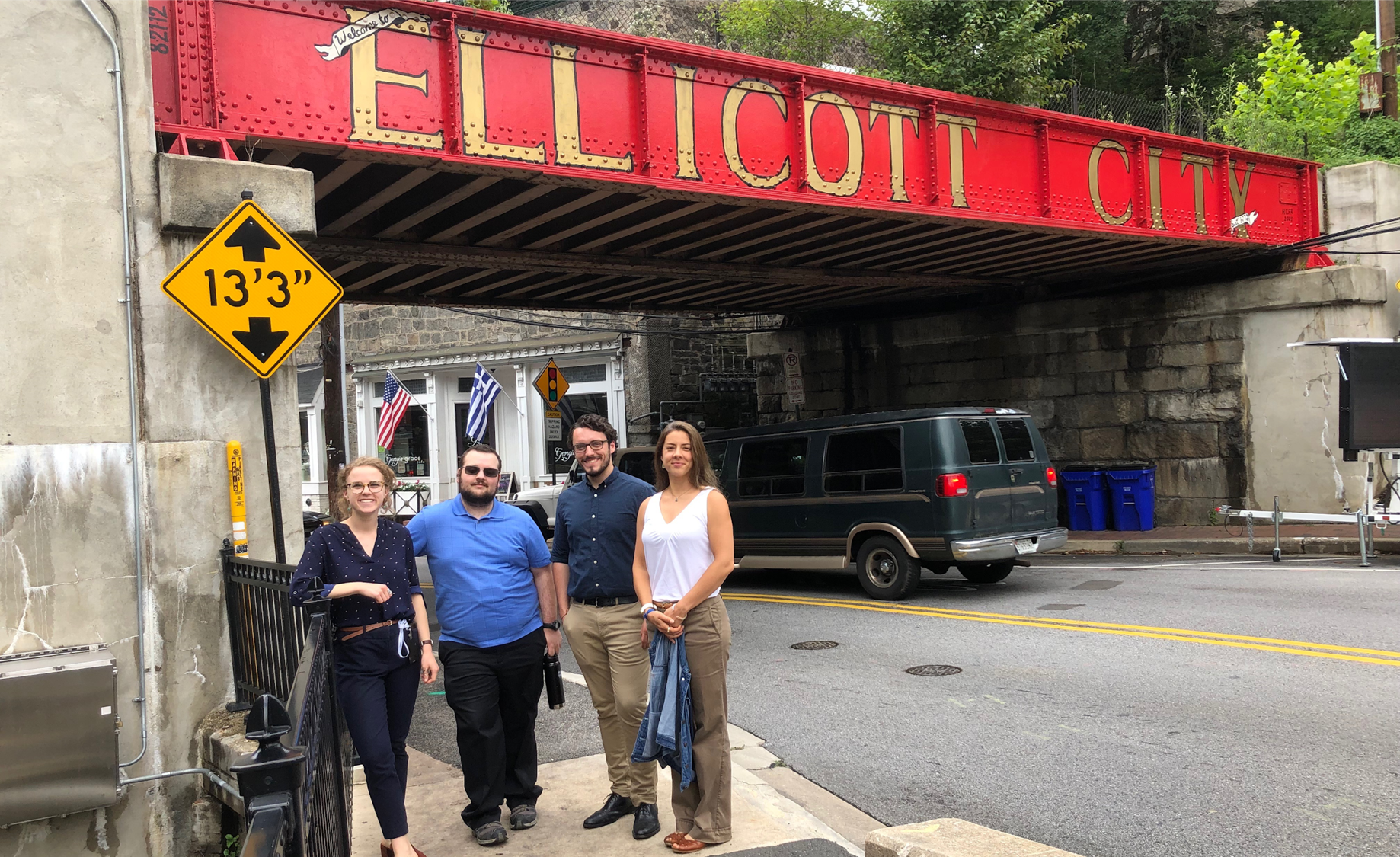
Members of the Ellicott City Disasters team visited Main Street the summer after the 2018 flood.
“Ellicott City’s status as a thriving historic area was disrupted in 2016 and 2018 in the aftermath of two unprecedented flooding events.”DEVELOP’s Goddard Space Flight Center (GSFC) location is located 27 miles south of the center of Ellicott City, a suburban town with a historic main street, local businesses, and considerable character. Being so close to Baltimore, Washington DC, and of course, a NASA center makes this area an ideal home for several NASA scientists. However, Ellicott City’s status as a thriving historic area was disrupted in 2016 and 2018 in the aftermath of two unprecedented flooding events.

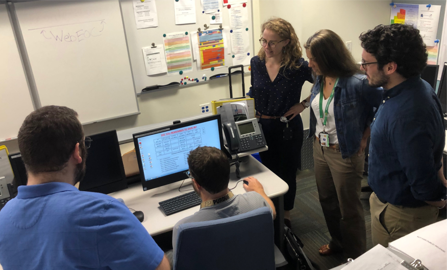
GSFC DEVELOPers visited the Howard County OEM to explore the tools currently used for flood predictions.
These floods overturned cars, pulled up pavement, gutted shops, and closed down Main Street for residents and shop owners alike. Several NASA employees, including myself, experienced the impacts of the floods firsthand. Sean McCartney, who is a former DEVELOPer and ARSET Instructor, was hiking the Maryland Challenge near Ellicott City when the 2016 floods struck (he still finished).
Our very own DEVELOP Science Advisor, John Bolten, lives in Ellicott City and often plays there with his Bluegrass band. Friends, tourists, and local shop owners fled to higher ground and were trapped by the rushing waters on both occasions.
“Having a project in their own backyard provided a unique opportunity for these DEVELOPers to see firsthand how utilizing satellite data can have real impacts on local communities.”What are a group of scientists to do when disaster strikes close to home? Create a machine learning tool, of course!
During the Summer 2019 DEVELOP term, a group of 4 DEVELOPers joined the Ellicott City Disasters project. Their goal was to explore and create tools that would help the Howard County Office of Emergency Management (OEM) prepare for the next flood. During their term, the team had the opportunity to visit Ellicott City and personally meet their collaborators. Having a project in their own backyard provided a unique opportunity for these DEVELOPers to see firsthand how utilizing satellite data can have real impacts on local communities.
With this perspective in mind, our DEVELOPers worked hard to create FLuME, the Flood Learning Model Environment. This model takes streamflow data from USGS stream gauges located around Ellicott City, as well as information about precipitation and soil moisture from the North American Land Data Assimilation System (NLDAS) and the Soil Moisture Active Passive (SMAP) satellite to predict streamflow. Eventually, the Howard County OEM hopes to use this tool to predict future flooding events.

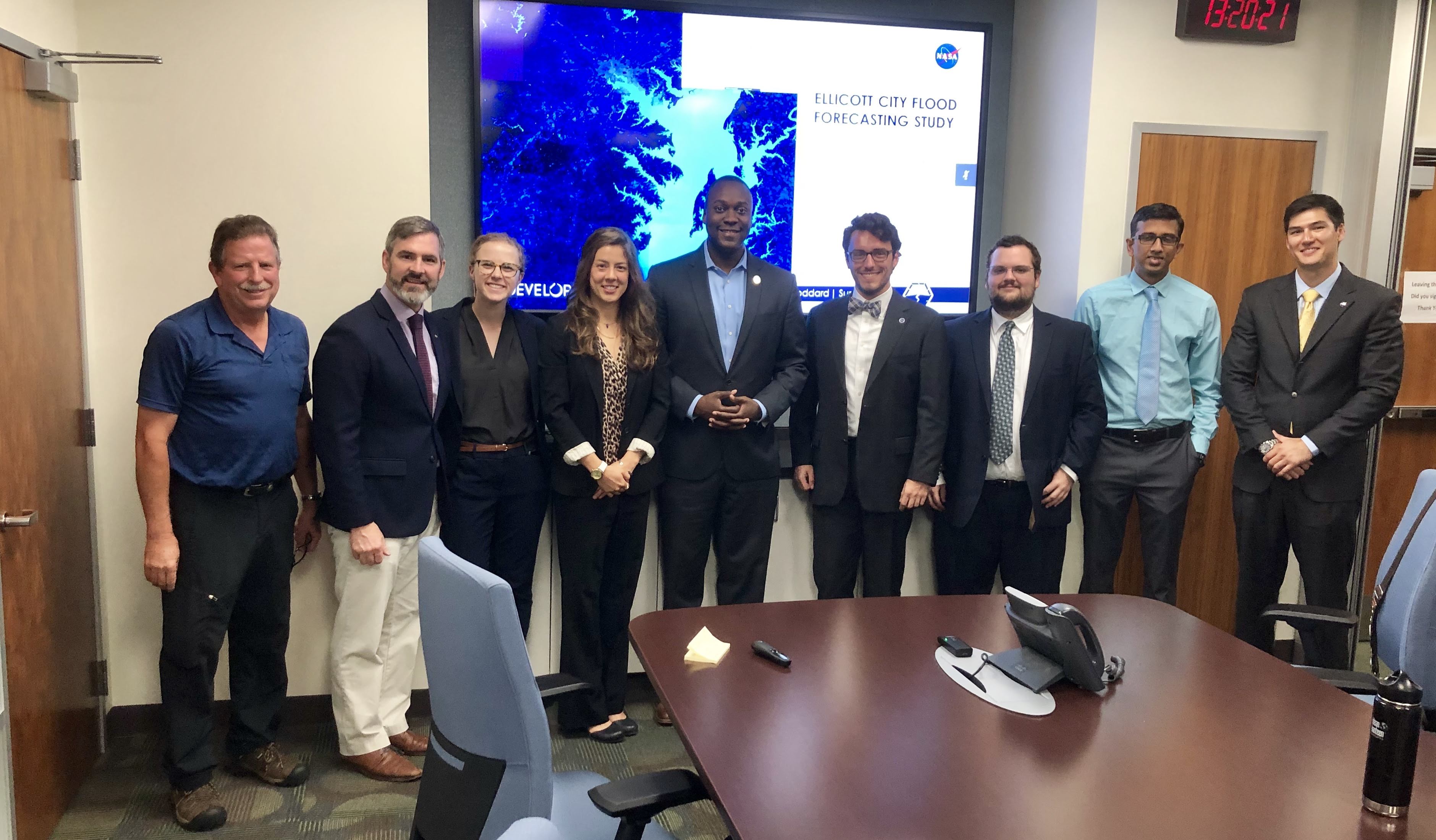
DEVELOPers handed off the results of their project to the Howard County OEM and Calvin Ball, the County Executive of Howard County.
As events like floods are predicted to increase in frequency and intensity in the coming years, developing tools that allow governments to use these technologies is critical. GSFC’s role in this study is just one example of how DEVELOP teams all over the country are assisting partner organizations in better understanding GIS and remote sensing. As for the Earth scientists working at GSFC, it was gratifying to be involved in a project that had real-world impacts on a town right in our backyard.