Mapping Russian Olive in the Powder River Basin to Inform Invasive Species Management
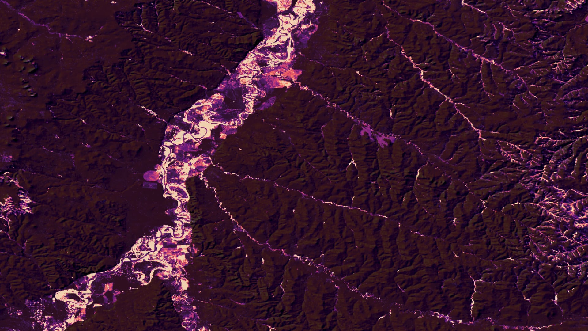
Since its introduction in the late 1800s, Russian olive (Elaeagnus augustifolia) has become a widespread invasive shrub that poses a threat to native riparian species in the United States that directly competes with native riparian plants for space and resources. To date, limited information on the distribution of Russian olive in the Powder River Basin of Montana and Wyoming have hampered management efforts and decision making. Here, we detect and model the distribution of Russian olive using field surveys, ocular sampling, and variables from Landsat 8 Operational Land Imager (OLI), Sentinel-2 MultiSpectral Instrument (MSI), and Shuttle Radar Topography Mission (SRTM) using the Random Forest algorithm. We derived topographic, spectral, and hydrological variables from Landsat 8 Operational Land Imager (OLI), Sentinel-2 MultiSpectral Instrument (MSI), and Shuttle Radar Topography Mission (SRTM) to utilize as model inputs. The team successfully created a spectral Russian olive detection map for the Powder River Basin, with a root-mean-square error (RMSE) of 15.44, and an R² of = 0.6482. The team also examined change in stream channel geomorphology from 1984-2020 in a time-series analysis using Landsat visible imagery and the RivMap MATLAB package and found little change. Our results will help our partners at the Powder River County Weed Board, Gay Ranch, United States Geological Survey, and University of Northern Colorado to locate and prioritize areas for riparian habitat restoration and to understand the linkages between the distribution of Russian olive and the region’s hydrology and geomorphology.
- Location
- Colorado - Fort Collins
- Term
- Summer 2021
- Partner(s)
- Powder River County Weed Board
Gay Ranch
United States Geological Survey, Boulder, CO Office
University of Northern Colorado - NASA Earth Observations
- Landsat 8 OLI
Landsat 5 TM
Landsat 7 ETM+
Sentinel-2 MSI
SRTM - Team
- Catherine Buczek (Project Lead)
Carly Andrews
Karissa Courtney
Dahlia Shahin
Amy Tian - Advisor(s)
- Dr. Paul Evangelista (Colorado State University, Natural Resource Ecology Laboratory)
Dr. Catherine Jarnevich (USGS, Fort Collins Science Center)
Dr. Anthony Vorster (Colorado State University, Natural Resource Ecology Laboratory)
Peder Engelstad (Colorado State University, Natural Resource Ecology Laboratory)
Brian Woodward (Colorado State University, Natural Resource Ecology Laboratory)
Nicholas Young (Colorado State University, Natural Resource Ecology Laboratory)