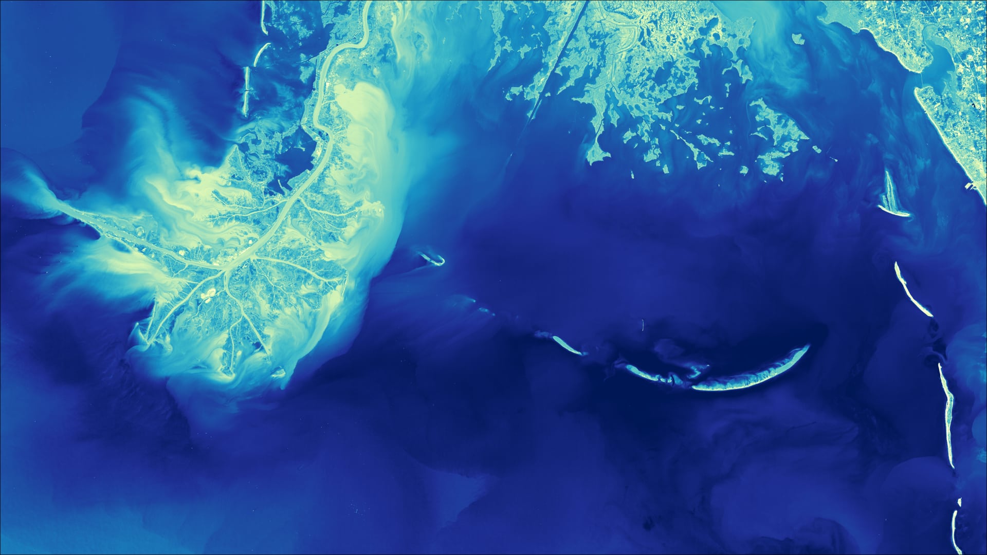
Using NASA Earth Observations to Monitor Historical Changes in the Extension of Seagrass Meadows in the Breton National Wildlife Refuge in Louisiana
The barrier islands of Louisiana’s Breton National Wildlife Refuge (BNWR) are disappearing due to sea level rise, extreme hurricanes, sediment starvation, and the Deepwater Horizon oil spill. This decline in land area has damaged important bird habitat and reduced the islands’ ability to protect coastal Louisiana from storm surges. The persistence of the islands is synergetic to that of the surrounding seagrass beds; seagrass binds together land, protecting the islands from erosion, and the loss of land exposes the seagrass and accelerates its decline. Furthermore, seagrass is independently important, absorbing excess nutrients and providing habitat for marine ecosystems. Here we present the Tool for Coastal Remote Ecological Observations in Louisiana (Tool CREOL), a Google Earth Engine Tool built to easily access data from Landsat 5 TM, Landsat 7 ETM+, Landsat 8 OLI, and Aqua and Terra MODIS. We show, using time series and maps generated using the tool, how land area and seagrass have responded to destructive events from the past 36 years (1984-2021). In only 7 years, Hurricane Georges (1998), Ivan (2004), and Katrina (2005) reduced land area by approximately 85%, accompanied by a major decline in seagrass extent. Tool CREOL will have strategic utility in planning upcoming restoration and revegetation efforts planned by Louisiana’s Coastal Protection and Restoration Authority in the Breton National Wildlife Refuge and will provide up-to-date monitoring of the results of that project. The tool serves as a basic model which can be adapted to study similar coastal regions in the world.
- Location
- California - Ames
- Term
- Summer 2021
- Partner(s)
- Louisiana Coastal Protection and Restoration Authority
Louisiana Department of Natural Resources, Office of Coastal Management - NASA Earth Observations
- Landsat 5 TM
Landsat 7 ETM+
Landsat 8 OLI
Aqua MODIS
Terra MODIS - Team
- Mariam Moeen (Project Lead)
Daniel Babin
Tasos Tentoglou
Taryn Waite
Kelly Young - Advisor(s)
- Dr. Juan Torres-Pérez (NASA Ames Research Center)