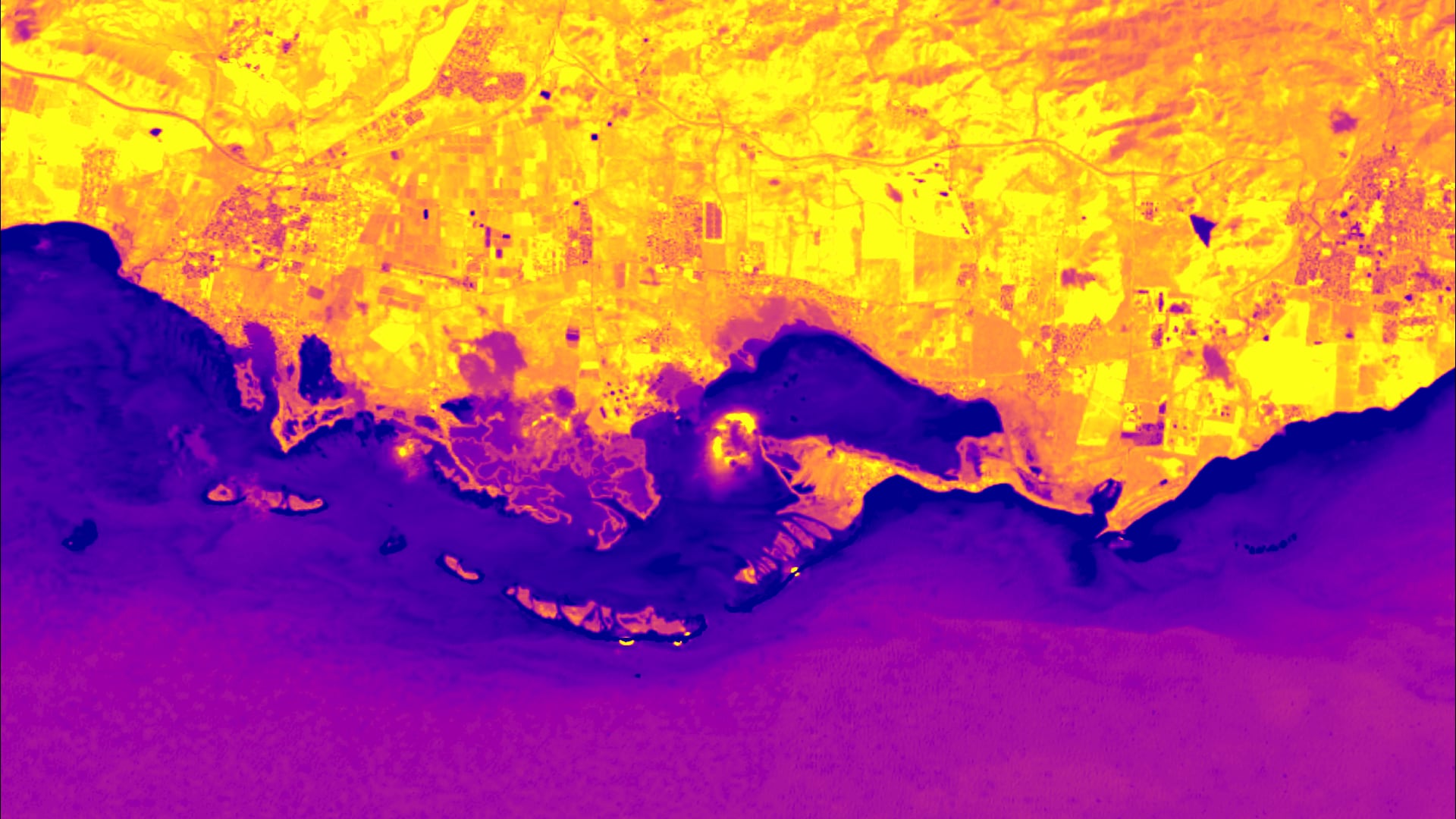
Using Earth Observations to Analyze Shoreline Changes and Understand the Effects of Sea Level Rise in Southern Puerto Rico
Jobos Bay is located on the southern coast of Puerto Rico, which is known for intense hurricane seasons and increased seasonal storm surge. Scientists at Jobos Bay National Estuarine Research Reserve (JBNERR) are concerned that sea level rise will exacerbate coastal damage from these weather events. Using NASA Earth observations, our team analyzed coastal change, land use land cover change (LULC), mangrove forest extent, and water quality of Jobos Bay. Using Google Earth Engine, we evaluated coastal change and mangrove forest habitat within the study region by classifying NASA Earth observation imagery. We created historic LULC composite images to observe how land use changes over time and improve understanding of urbanization in the watershed. Leveraging previous water quality studies, our team compared water quality datasets generated by the Optical Reef and Coastal Area Assessment (ORCAA) tool to in situ sensors provided by JBNERR partners to understand the overall quality of water in the study area with respect to turbidity, chlorophyll-a, sea surface temperature, and colored dissolved organic matter (CDOM) concentrations. We discovered that 17% of the reserve has shifted from land to water since 1997 and lost 4.85 square kilometers of mangrove habitat over the past decade. Results from this study will inform the scientists of JBNERR and community members of the regional impacts of sea level rise. Being the first comprehensive study done in the estuary in nearly a decade, this serves as a baseline for future conservation efforts and research in the estuary.
- Location
- Virginia - Langley
- Term
- Summer 2021
- Partner(s)
- Jobos Bay National Estuarine Research Reserve (JBNERR)
- NASA Earth Observations
- Landsat 8 OLI
Landsat 7 ETM+
Landsat 5 TM
Sentinel-2 MSI - Team
- Olivia Spencer (Project Lead)
Ethan McGhee
Taylor Conklin
Dr. Liliana Hernández González
Andrew Altizer - Advisor(s)
- Dr. Juan Torres Pérez (NASA Ames Research Center)
Dr. Kenton Ross (NASA Langley Research Center)