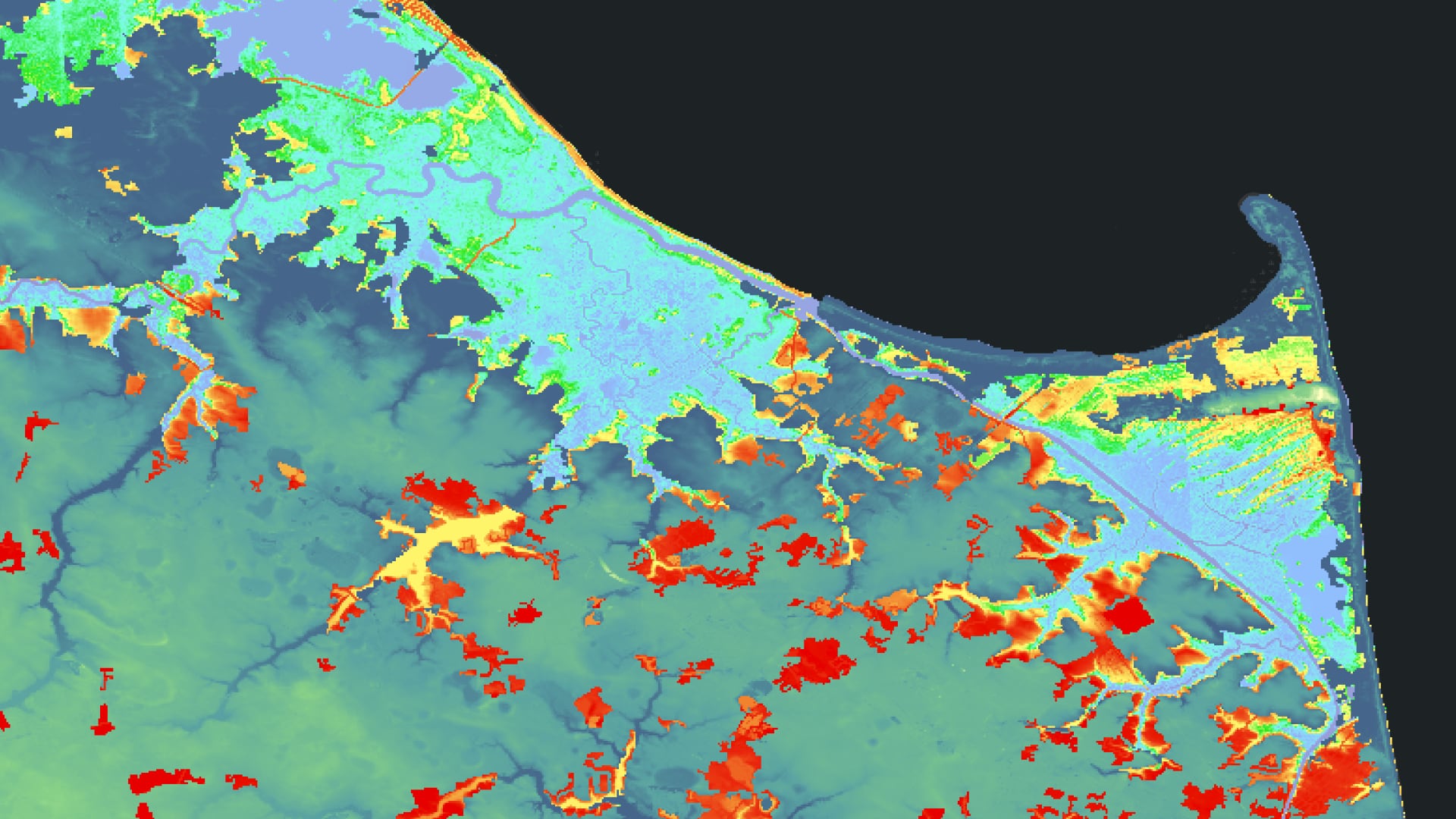
Assessing Land Cover and Soil to Identify Suitable Sites for Tidal Marsh Migration in Delaware
Tidal wetlands provide vital resources for the state of Delaware, crucial not only for maintaining important ecosystem functions, but also for providing human populations with substantial services. Healthy wetland networks offer protection from severe weather, reduce flooding, improve water quality, and provide opportunities for education and recreation. However, human activities in combination with natural events, continue to cause substantial loss of wetland cover and damage wetland health. Over the last thirty years, the state of Delaware has experienced a net loss of roughly 5,000 acres of wetland. In collaboration with the Delaware Department of Natural Resources and Environmental Control (DNREC), the team used NASA Earth observations including Landsat 5 Thematic Mapper (TM), Landsat 8 Operational Land Imager (OLI), Terra Moderate Resolution Imaging Spectroradiometer (MODIS), and Global Precipitation Measurement Integrated Multi-Satellite Retrievals (GPM IMERG) to develop a methodology to monitor recent changes in wetland cover and forecast landward marsh migration due to sea-level rise, changes to climate, and human development. Trend analysis of current and past climate conditions in precipitation and temperature revealed an overall increase in both metrics. Using Land Change Modeler in TerrSet and Suitability Modeler in ArcGIS Pro, the team visualized landcover shifts over the last 20 years, indicating a general pattern of net wetland loss and identified locations where marsh migration could potentially occur in the future. These observations will enable better planning for restoration activities and inform decision-making to preserve wetland health and ecosystem functions.
- Location
- Alabama - Marshall
- Term
- Summer 2021
- Partner(s)
- Delaware Department of Natural Resources and Environmental Control; Division of Climate, Coastal, and Energy
- NASA Earth Observations
- Landsat 5 TM
Landsat 8 OLI
GPM IMERG
Terra MODIS - Team
- McKenna Brahler (Project Lead)
Amanda Bosserman
Eian Davis
Jacob Frankel
Rebecca Ohman - Advisor(s)
- Dr. Robert Griffin (The University of Alabama in Huntsville)
Dr. Jeffrey Luvall (NASA Marshall Space Flight Center)