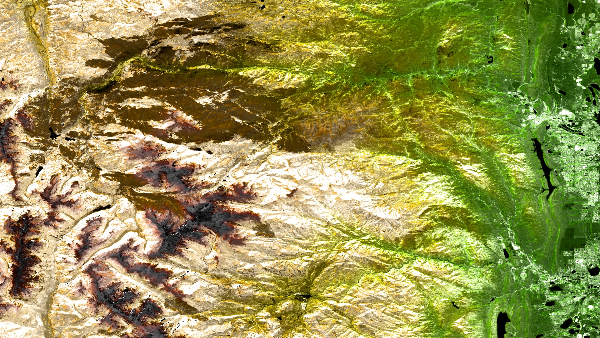
Monitoring Post-Fire Cheatgrass (Bromus tectorum) Distribution to Inform Management Planning
Cheatgrass (Bromus tectorum) is a species of concern across the western United States as it has the potential to outcompete native plant species, reduce biodiversity, and diminish nutrient availability for ungulates. Furthermore, because cheatgrass can quickly dominate disturbed landscapes it has the potential to exacerbate wildfire risk by increasing fuel loads. In 2020, the Cameron Peak fire burned more than 200,000 acres on the Arapaho and Roosevelt National Forests in Colorado and is unique for two reasons: (1) it is Colorado’s largest fire on record and (2) it burned later into the year than is typical. These issues are of imminent concern for our partners at the Forest Service (USFS), as they are tasked with wildfire risk and invasive species mitigation and disturbances such as wildfires can substantially increase the rate and extent of cheatgrass spread. Current cheatgrass mitigation methods rely on field crews to physically locate cheatgrass on the landscape, which takes time, money, and extensive manpower. Here, we developed two Random Forest (RF) models within the Software for Assisted Habitat Modeling (SAHM) using remote sensing predictors one of suitable cheatgrass habitat and one to detect cheatgrass presence during the 2021 growing season. Maps derived from these models provide natural resource managers the ability to implement early detection and rapid response (EDRR) to prevent the spread of cheatgrass to new locations.
- Location
- Colorado - Fort Collins
- Term
- Summer 2021
- Partner(s)
- USDA
Forest Service, Arapaho and Roosevelt National Forests and Pawnee National Grassland - NASA Earth Observations
- Sentinel-2 MSI
SRTM - Team
- Christopher Tsz Hin Choi (Project Lead)
Alix Bakke
Alex Posen
Monika Rock
Nikole Vannest - Advisor(s)
- Dr. Paul Evangelista (Colorado State University, Natural Resource Ecology Laboratory)
Dr. Catherine Jarnevich (USGS, Fort Collins Science Center)
Dr. Anthony Vorster (Colorado State University, Natural Resource Ecology Laboratory)
Peder Engelstad (Colorado State University, Natural Resource Ecology Laboratory)
Nicholas Young (Colorado State University, Natural Resource Ecology Laboratory)
Brian Woodward (Colorado State University, Natural Resource Ecology Laboratory)