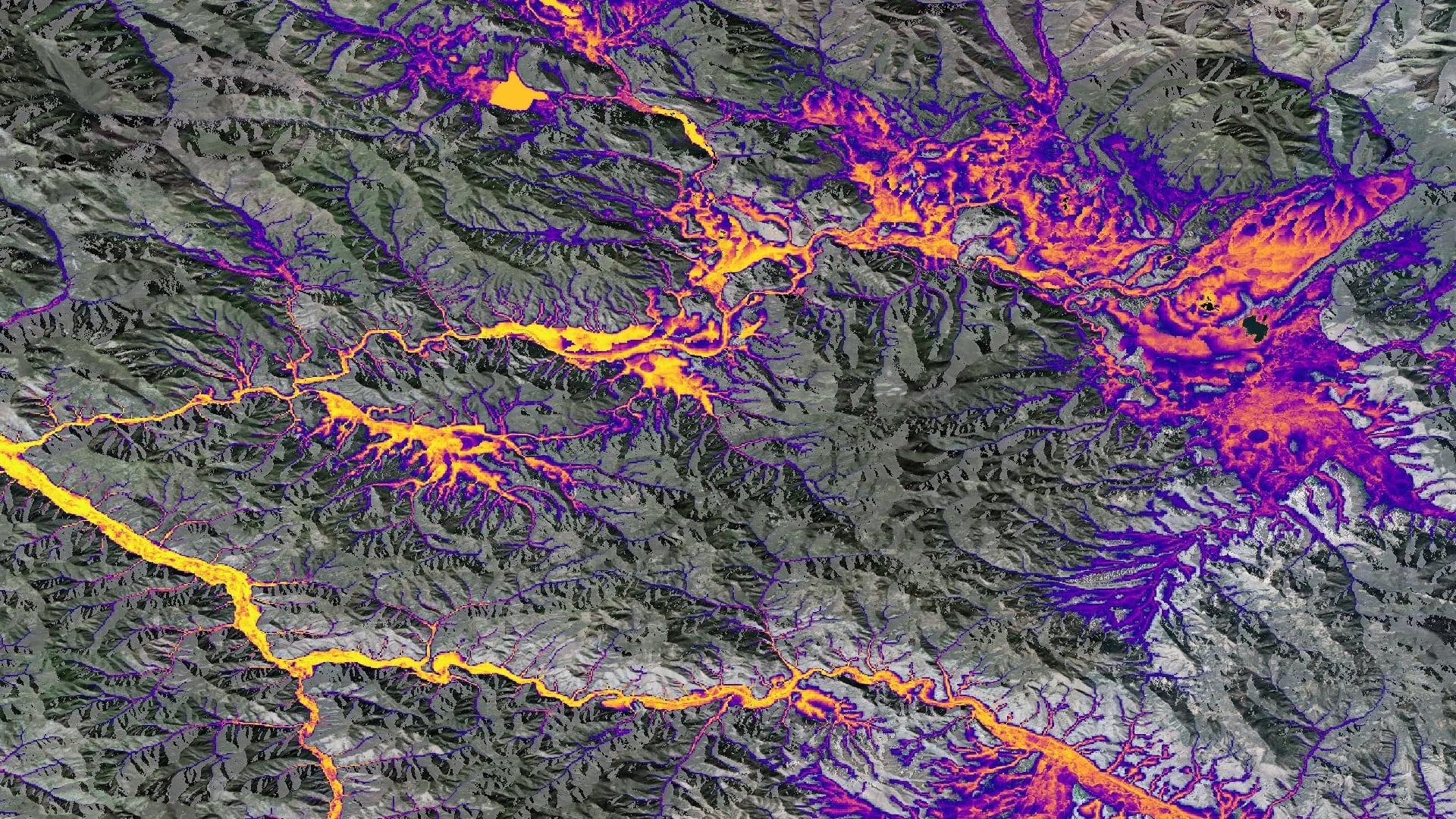
Modeling Habitat Suitability of Mustelid Species to Guide Detection Dog Surveys for Contaminants Monitoring, via Collected Scats, in River Systems of Western Montana
Environmental contaminants are becoming increasingly prevalent in riverine ecosystems. The status of contaminants in western Montana’s relatively pristine river systems is largely unknown. Monitoring for heavy metals, brominated flame-retardants (BFRs), and pharmaceuticals is important due to their negative effects on ecosystems. Exposure to these contaminants can have significant endocrine, neurological, and reproductive effects. Contaminants easily travel up the food chain and bioaccumulate in apex predators. As predators with a largely aquatic diet, American mink (Mustela vison) and North American river otter (Lontra canadensis) serve as reliable indicator species of environmental health and the status of contaminants. Analysis of scat from these species is a noninvasive method to measure contaminant levels, and detection dogs from Working Dogs for Conservation (WD4C) have been used to locate these scat samples. To aid in the search of these samples, habitat suitability models were created for mink and otter for the years 2013-2020 and projected to 2040 using the random forest algorithm in the Software for Assisted Habitat Modeling (SAHM). Predictor variable data were acquired from Landsat 8 Operational Land Imager (OLI), Terra Moderate Resolution Imaging Spectroradiometer (MODIS), Global Precipitation Measurement Integrated Multi-satellite Retrievals for GPM (GPM IMERG), Shuttle Radar Topography Mission (SRTM), and Soil Moisture Active Passive (SMAP). Within these models, the most important variable for mink and otter habitat was distance to river. Suitable habitat also corresponded with emergent herbaceous land cover and deeper river locations. These habitat suitability models will inform sampling site section for further contaminant analysis.
- Location
- Maryland - Goddard
- Term
- Spring 2021
- Partner(s)
- Working Dogs for Conservation
Virginia Institute of Marine Science - NASA Earth Observations
- Landsat 8 OLI
Terra MODIS
GPM IMERG
SRTM
SMAP - Team
- Anna Winter (Project Lead)
Kergis Hiebert
Kjirsten Coleman
Madeleine Gregory - Advisor(s)
- Dr. Allison Howard, University of Georgia (Science Advisor)
Dr. John Bolten, NASA Goddard Space Flight Center (Science Advisor)
Dr. Kenton Ross, NASA Langley Research Center (Science Advisor)