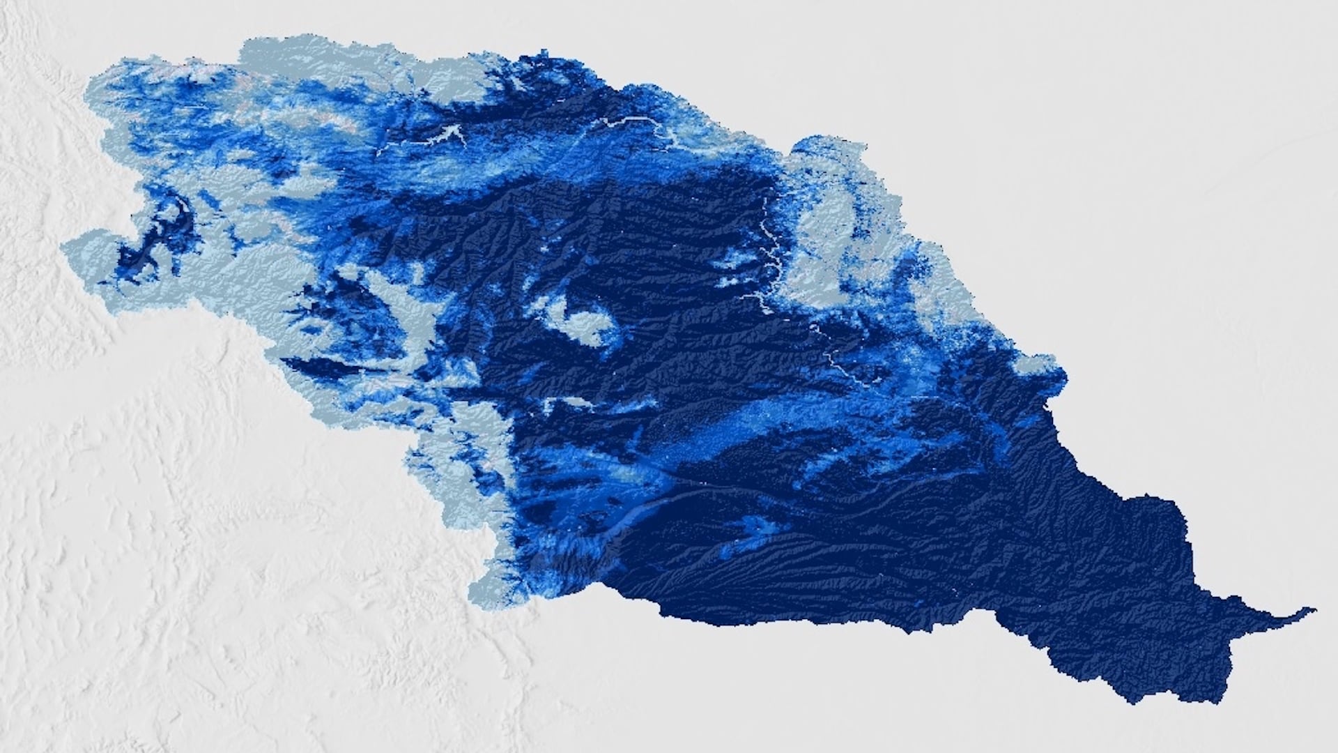
Enhancing a Composite Moisture Index for Drought and Flood Monitoring in the Missouri River Basin
The Missouri River Basin is a major global breadbasket, containing large amounts of agricultural land. Recent devastating weather events have motivated regional organizations to dedicate efforts to drought and flood monitoring and early warning systems. The DEVELOP team partnered with the following organizations: Montana Climate Office, NOAA National Weather Service (NWS) Missouri Basin River Forecast Center, NOAA Regional Climate Services of the Central Region, NOAA Physical Sciences Laboratory, and the US Army Corps of Engineers' Missouri River Basin Water Management Division. The team collaborated with the partners in their efforts to monitor flood and drought by enhancing a composite moisture index (CMI) for the Missouri River Basin. The CMI leverages NASA Earth observations to derive snow cover data from the Terra Moderate Resolution Imaging Spectroradiometer (MODIS) mission and snow water equivalent and snow depth datasets from the NOAA NWS National Operational Hydrologic Remote Sensing Center’s Snow Data Assimilation System (SNODAS). Building upon this framework, the team added groundwater storage data from the Gravity Recovery and Climate Experiment (GRACE) and GRACE Follow-On missions, soil moisture data from Soil Moisture Active Passive (SMAP), and United States Geological Survey in situ streamflow data to the CMI. To test the tool’s validity, the team compared the CMI results to historically extreme dry and extreme wet years, March 2017 and March 2019, respectively. The CMI accurately reflects both 2017 and 2019 climate conditions in the Missouri River Basin. The refined CMI enhances the understanding of antecedent soil moisture conditions and improves flood and drought forecasting in the Missouri River Basin before the growing season.
- Location
- North Carolina - NCEI
- Term
- Spring 2021
- Partner(s)
- Montana Climate Office
NOAA, NWS, Missouri Basin River Forecast Center
US Army Corps of Engineers, Northwestern Division
NOAA, Regional Climate Services, Central Region>
NOAA, Physical Sciences Laboratory - NASA Earth Observations
- Terra MODIS
SMAP
GRACE
GRACE FO - Team
- Chloe Schneider (Project Lead)
Bevan Pearson
Madelyn Savan
Catherine Buczek - Advisor(s)
- Ronald Leeper (NOAA National Centers for Environmental Information, North Carolina Institute for Climate Studies)