Modeling Asian Elephant (Elephas Maximus) Habitat Suitability along the Southern Bhutan Border with NASA Earth Observations
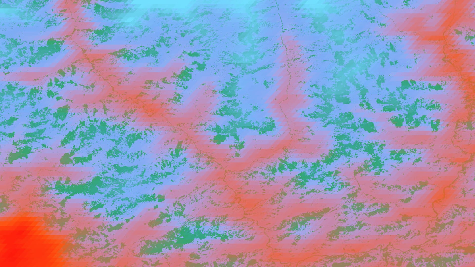
Asian elephants (Elephas maximus) are a flagship species essential for the functioning of forest ecosystems, and they also have cultural significance in Bhutan. Elephants receive the highest legal protection as listed under Schedule I of the Bhutan Forests and Nature Conservation Act, 1995. Yet, they face threats of extinction due to poaching for ivory as well as the loss and fragmentation of their habitat. Due to the recent clearing of forests and the growing populations in these areas, there has been an increase in incidents of human-elephant conflict. These conflicts have been detrimental to farmer’s annual harvests and livelihoods and have led to retaliatory killing and injury of elephants in southern Bhutan. The DEVELOP Southern Bhutan Ecological Forecasting team partnered with the Bhutan Foundation and Bhutan Tiger Center to help address this problem. The team integrated NASA Earth observations, including Landsat 5 Thematic Mapper (TM), Landsat 8 Operational Land Imager (OLI), Terra Moderate Resolution Imaging Spectroradiometer (MODIS), and the Shuttle Radar Topography Mission (SRTM) to acquire information on land cover change and elephant habitat suitability along the southern border of Bhutan. The team utilized Esri ArcGIS Pro and Software for Assisted Habitat Modeling (SAHM) for data analysis, modeling, and visualization. The team used elephant occurrence data and environmental variables to model current habitat suitability for migrating elephant populations. This analysis provided partners with maps to inform decisions about the placement and conservation of elephant corridors and helped build their capacity to use satellite data for future studies and project planning.
- Location
- Maryland - Goddard
- Term
- Summer 2020
- Partner(s)
- Bhutan Foundation
Bhutan Tiger Center - NASA Earth Observations
- Landsat 8 OLI
Landsat 5 TM
SRTM
Terra MODIS - Team
- Palchen Wangchuk (Project Lead)
Tashi Choden
Kuenley Pem Dem
Sonam Choden
Kelzang Jigme - Advisor(s)
- Joe Spruce (Consultant to Science Systems & Applications, Inc., Diamondhead, MS)
Dr. Kenton Ross (NASA Langley Research Center)
Sean McCartney (Science Systems & Applications, Inc., NASA Goddard Space Flight Center)