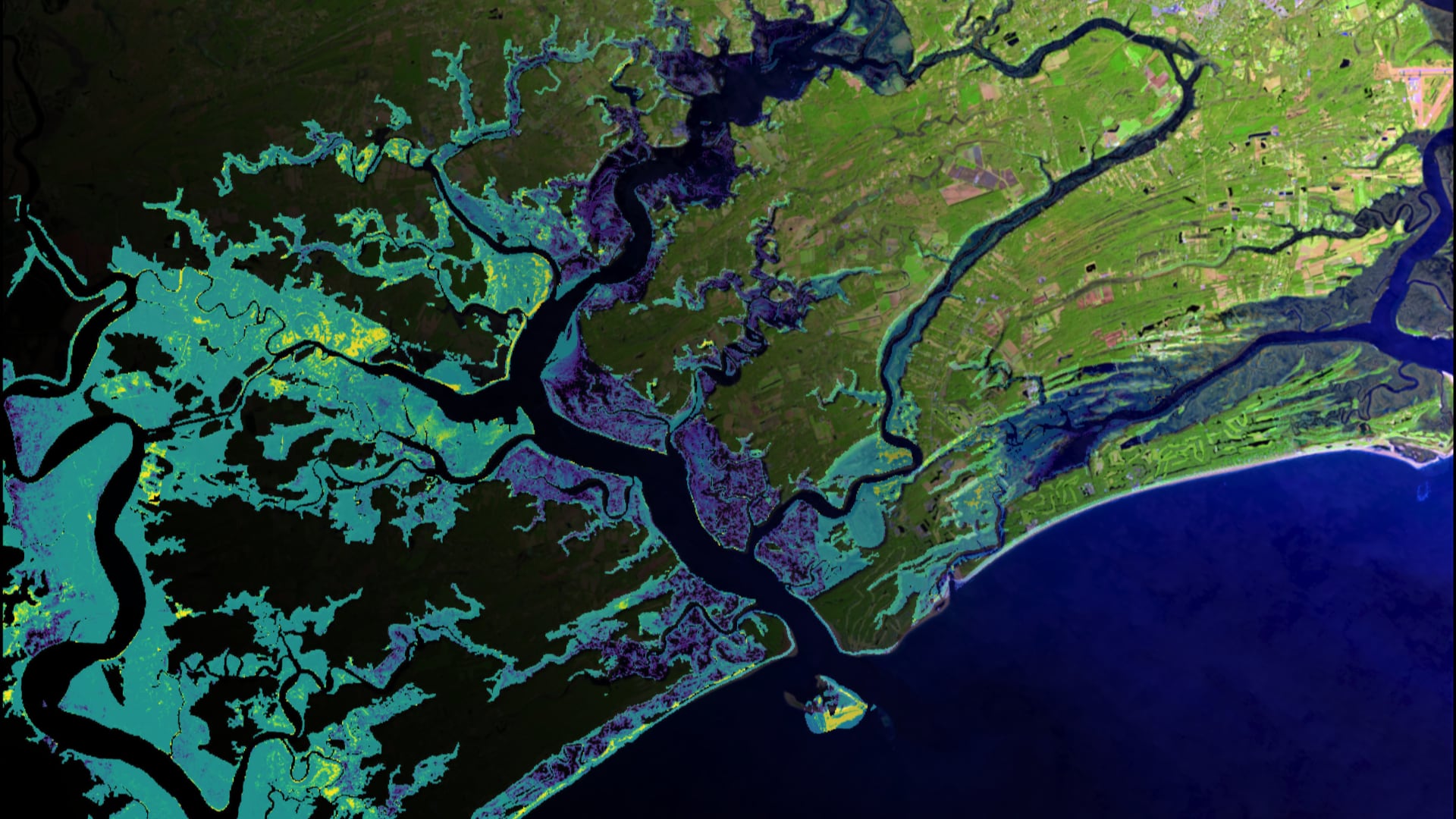
Implementing the Unvegetated-Vegetated Ratio to Assess Salt Marsh Vulnerability in South Carolina Using Airborne and Space-Based Remote Sensing Imagery
Among the most productive ecosystems on earth, salt marshes provide crucial ecosystem services including water filtration, shoreline protection, storm surge buffering, and flood mitigation. Marshes are largely dependent on their sediment budget which can significantly vary across a region. Upstream land use change near Charleston, South Carolina, along with rising sea levels, are expected to alter sediment budgets and threaten marsh stability and long-term health. The unvegetated-vegetated ratio (UVVR) is a scalable and efficient method to assess vulnerability. This NASA DEVELOP project collaborated with the South Carolina Department of Natural Resources, the South Carolina Department of Health and Environmental Control, and the United States Geological Survey Woods Hole Coastal and Marine Science Center. Marsh vulnerability was analyzed using UVVR derived from Landsat 8 Operational Land Imager (OLI) and Landsat 7 Enhanced Thematic Mapper (ETM+) in conjunction with National Agriculture Imagery Program (NAIP) high-resolution aerial imagery. A Landsat random forest regression showed a low correlation (r2 = 0.247) between Landsat 7 ETM+ bands and NAIP aggregated UVVR suggesting the need for a more complex model and higher resolution sensors. Google Earth Engine scripting provided a novel approach to UVVR methodology that will allow decision makers to input new marsh areas and easily calculate UVVR without external data downloading.
- Location
- Virginia - Langley
- Term
- Summer 2020
- Partner(s)
- South Carolina Department of Health and Environmental Control
South Carolina Department of Natural Resources
USGS, Woods Hole Coastal and Marine Science Center - NASA Earth Observations
- Landsat 8 OLI
Landsat 7 ETM+ - Team
- Adriana Le Compte
Derek Nguyen
Elspeth Gates
Jake Stid - Advisor(s)
- Dr. Kenton Ross (NASA Langley Research Center)
Dr. Neil Ganju (USGS Woods Hole Coastal and Marine Science Center)