Restructuring the Energy Balance in Satellite Beach, Florida, by Quantifying Solar Energy Production Potential using NASA POWER Data Products and LiDAR
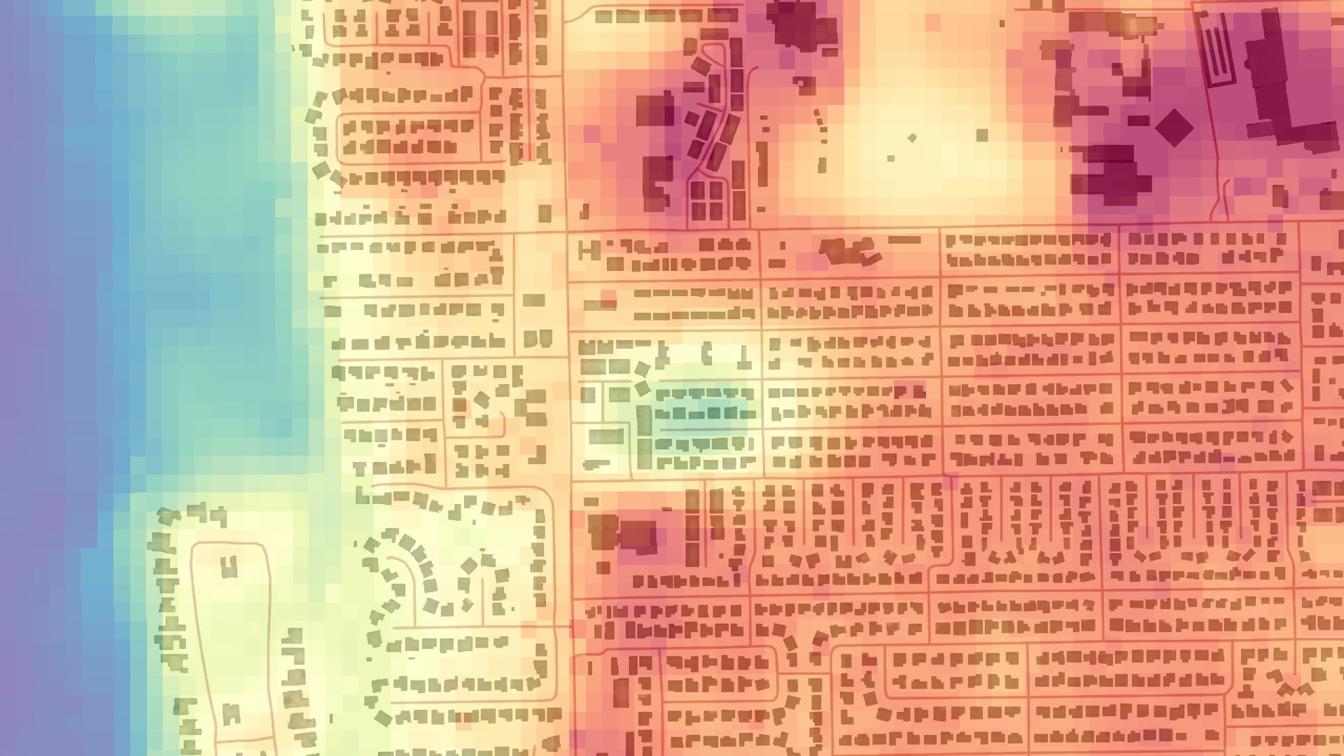
The City of Satellite Beach, Florida, has committed to supplying 100% of its energy use from renewable energy, primarily solar, by the year 2050. The team created a methodology for estimating rooftop solar power potential using a high-resolution Light Detection and Ranging (LiDAR) dataset and the NASA Prediction of Worldwide Energy Resources (POWER) dataset to assist Satellite Beach in reaching their solar renewable energy goals. The POWER dataset provides information on direct and diffuse solar irradiation on horizontal surfaces, surface albedo, and effects of local meteorology, such as clouds. The team integrated the solar irradiance data with the LiDAR data to model slope, aspect, and shadowing in the 7 km2 study area to find suitable roof segments for solar panel installation and estimate the solar potential of each segment. This process was supplemented by an analysis of land surface temperature and urban greenness measured through the Normalized Difference Vegetation Index (NDVI) from Landsat 8 Operational Land Imager and Thermal Infrared Sensor (OLI/TIRS) observations. These metrics serve to target areas for cooling initiatives aimed at reducing Satellite Beach’s overall energy consumption. The team found the total rooftop solar potential throughout the city to be 221,919,330 KWh per year with an average annual rooftop photovoltaic, or PV, potential of 55,647 KWh per building. As such, the average building could generate over five times the annual energy needs for an average household if PV panels were installed on all viable areas of its roof.
- Location
- Arizona - Tempe
- Term
- Summer 2020
- Partner(s)
- City of Satellite Beach
City of Orlando, Fleet and Facilities Management Division - NASA Earth Observations
- Landsat 8 OLI
Landsat 8 TIRS
NASA POWER - Team
- Spencer Nelson (Project Lead)
Katherine Beall
John Dialesandro
Julia Marturano - Advisor(s)
- Dr. David Hondula (Arizona State University)
Dr. Paul Stackhouse (NASA Langley Research Center)