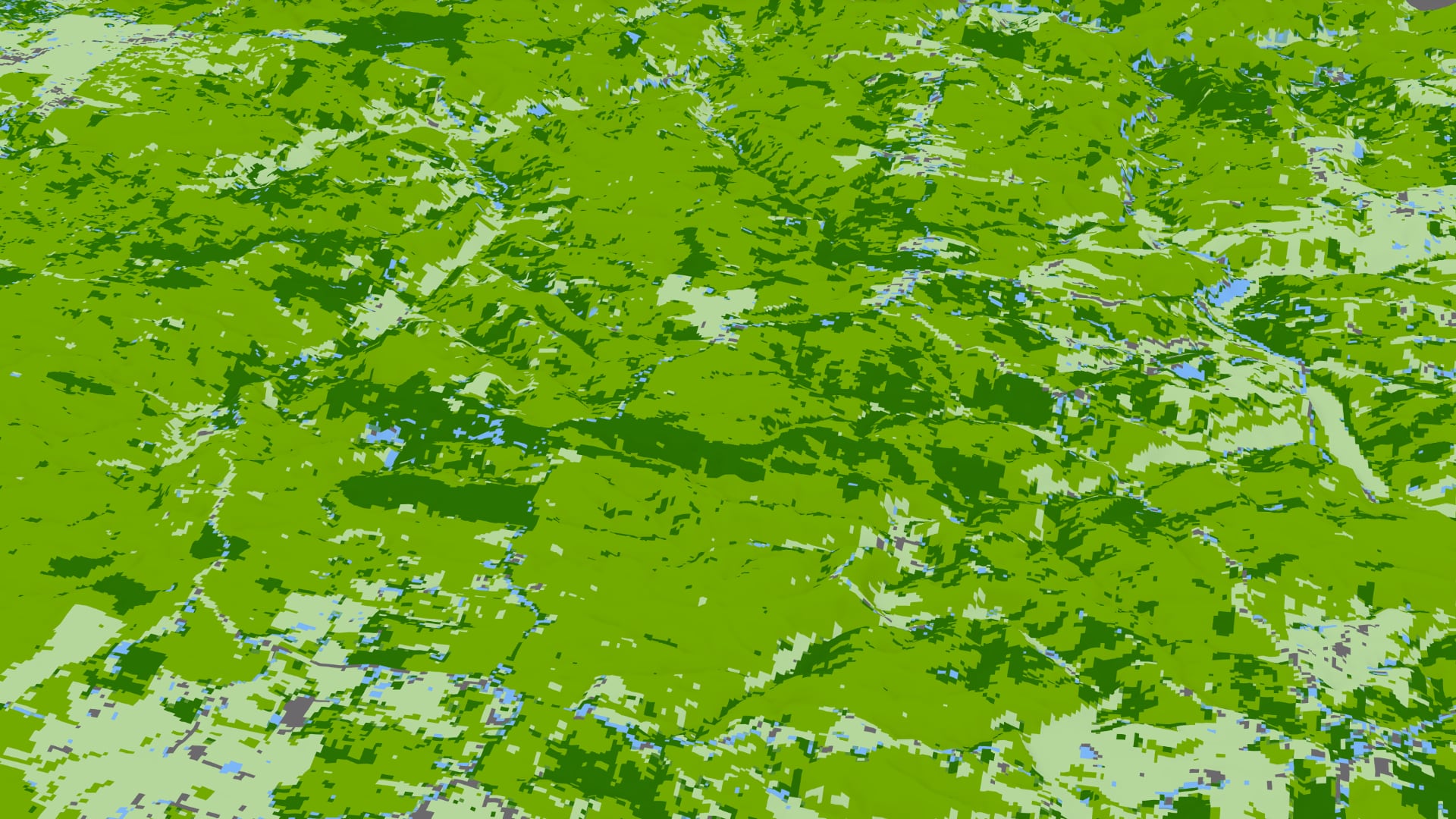
Utilizing NASA Earth Observations to Classify Ground Cover Types in the Mark Twain National Forest
The Mark Twain National Forest (MTNF) encompasses 1.5 million acres of public land in the Ozarks region of southeastern Missouri. The industrial boom between the 1880s and 1920s had devastating effects on the shortleaf pine (Pinus echinata), Missouri’s only native pine species. The combination of fire suppression on this fire-dependent species and timber harvest of mature pine stands inhibited the development of pine seedlings and promoted the establishment of hardwood stands. Partners at the US Forest Service’s MTNF are currently involved in restoration efforts in two ranger districts, which includes removing invasive eastern red cedar (Juniperus virginiana) and prescribed burning. To expand spatial coverage for the MTNF beyond in situ observation sites, the NASA DEVELOP team analyzed land cover change from 1986 through 2019 and forecasted changes based on a ‘business-as-usual' scenario out to 2040. The team incorporated remotely sensed data from Landsat 5 Thematic Mapper (TM) and Landsat 8 Operational Land Imager (OLI) into the random trees supervised classification tool in ArcGIS Pro. This tool spectrally separated pixels into five distinct land cover classes and produced classifications for 1986 and 2019, with kappa statistics of 0.87 and 0.81, respectively. Overall, there was a net decrease in conifer and meadow land cover between 1986 and 2019 along with a net increase in water, developed, and deciduous land cover. The team used TerrSet’s Land Change Modeler to forecast land cover through 2040. Results showed an increase in coniferous land cover and a decrease in deciduous cover, indicating a high probability that current restoration efforts will produce the intended effect.
- Location
- Idaho - Pocatello
- Term
- Summer 2020
- Partner(s)
- USDA, US Forest Service, Mark Twain National Forest
USDA, US Forest Service, Geospatial Technology and Applications Center - NASA Earth Observations
- Landsat 5 TM
Landsat 8 OLI - Team
- Kaitlyn Bretz (Project Lead)
Madison Bradley
Sarah Hafer
Grant Verhulst - Advisor(s)
- Keith Weber (Idaho State University, GIS Training and Research Center)