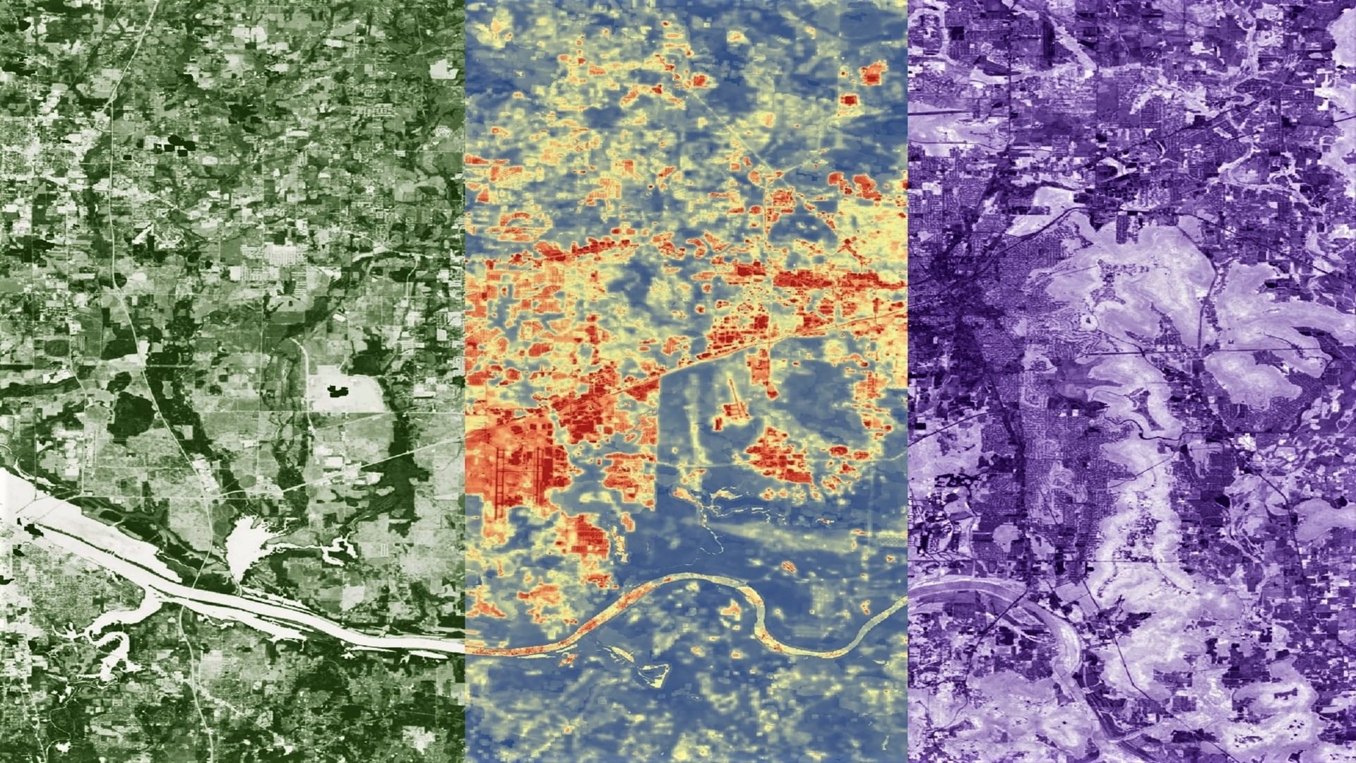
Utilizing NASA Earth Observations to Evaluate Urban Tree Canopy and Land Surface Temperature for Green Infrastructure Development and Urban Heat Mitigation in Huntsville, Alabama
Huntsville, Alabama’s population has grown by approximately 11% since 2010, due in part to the city’s advancing engineering industry. Rapid urban growth negatively impacts the environment by decreasing tree canopy cover and increasing impervious surface cover, which can intensify the urban heat island effect. To examine the impacts of this urban growth on the environment, the team partnered with the City of Huntsville to utilize Landsat 5 Thematic Mapper (TM), Landsat 8 Operational Land Imager (OLI), Landsat 8 Thermal Infrared Sensor (TIRS), Terra Moderate Resolution Imaging Spectroradiometer (MODIS) and the International Space Station’s Global Ecosystems Dynamic Investigation (GEDI) and ECOsystem Spaceborne Thermal Radiometer Experiment on Space Station (ECOSTRESS). The team utilized these Earth observations in combination with ancillary datasets to create a suite of end products to assist in mitigating the effects of extreme heat due to urban expansion and tree canopy loss. Annual land surface temperature (LST) was calculated and land cover classes were derived through Normalized Difference Vegetation Index (NDVI) and Normalized Difference Built-Up Index (NDBI) threshold methods to distinguish trees, other vegetation types, impervious surfaces, and water. From 2010 to 2019, LST increased approximately 4 °F for all census tracts within the city and the total amount of tree cover increased by approximately 3%. The findings will aid the city in future decision-making processes by indicating areas that would benefit from increased green infrastructure.
- Location
- Alabama - Marshall
- Term
- Summer 2020
- Partner(s)
- City of Huntsville
- NASA Earth Observations
- Landsat 5 TM
Landsat 8 OLI
Landsat 8 TIRS
ISS GEDI
ISS ECOSTRESS
Terra MODIS - Team
- Greta Paris (Project Lead)
Sabine Nix
Amanda Tomlinson
Thomas Quintero - Advisor(s)
- Dr. Robert Griffin (The University of Alabama in Huntsville)
Dr. Jeffrey Luvall (NASA Marshall Space Flight Center)