Mapping Forest Composition and Health in the Southern Appalachians Using NASA Earth Observations to Enhance Drought and Watershed Health-Related Forest Management for the Eastern Band of the Cherokee Indians
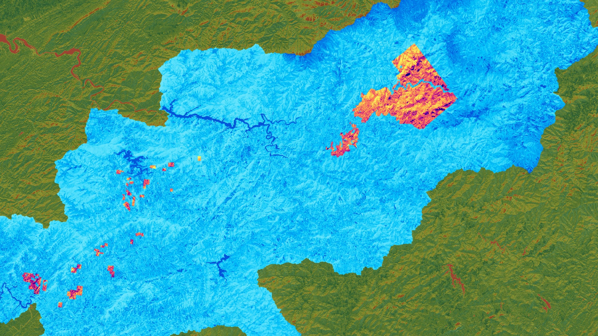
The Eastern Band of Cherokee Indians (EBCI) owns and manages more than 55,000 acres of land in the Southern Appalachian Mountains of western North Carolina. Most of these lands reside within the Oconaluftee River watershed. In this region and watershed, hemlock trees are a culturally significant foundation species that contribute to habitat biodiversity, regulate temperature and evapotranspiration of riparian environments, and provide economic value for tourism and recreation. The hemlock woolly adelgid (HWA), an invasive insect, has caused widespread hemlock mortality in recent decades, raising concerns about hemlock decline. Hemlock mortality leads to standing dead trees and increased evapotranspiration which can abet the spread of wildfires, especially during periods of drought. The DEVELOP team used satellite imagery from Landsat 5 Thematic Mapper (TM) to quantify and map possible hemlock decline by comparing changes in the normalized difference vegetation index (NDVI) values of winter season between 2003 and 2010. The project utilized the Shuttle Radar Topography Mission (SRTM) along with imagery from Landsat 8 Operational Land Imager (OLI) to create a weighted suitability analysis that maps topographic and environmental conditions favorable for hemlock habitat. This study found that 67% of evergreen and mixed forest cover in the Oconaluftee River valley exhibited a decrease in winter NDVI from 2003 to 2010. Additionally, the two-example weighted suitability analyses showed 4.5-9.5% of hemlock suitable land in 2018 in the Oconaluftee. The partners of this project can use the outputs to identify the extent of potential hemlock decline in the Oconaluftee and establish benchmark metrics for assessing changes in hemlock suitable areas over time.
- Location
- North Carolina - NCEI
- Term
- Summer 2020
- Partner(s)
- Eastern Band of Cherokee Indians, Natural Resources Program
USDA, US Forest Service, Eastern Forest Environmental Threat Assessment Center - NASA Earth Observations
- Landsat 5 TM
Landsat 8 OLI
SRTM - Team
- Chloe Schneider
Travis Newton
Wilson Goode
Richard Murray - Advisor(s)
- Dr. Bjorn Brooks (NOAA National Centers for Environmental Information, North Carolina Institute for Climate Studies)
Dr. Steve Norman (USDA Forest Service, Eastern Forest Environmental Threat Assessment Center)