Assessing Land Surface Temperature, Vegetation Cover, and Compounding Vulnerability Factors to Identify High Priority Areas for Cooling Initiatives in Philadelphia, Pennsylvania
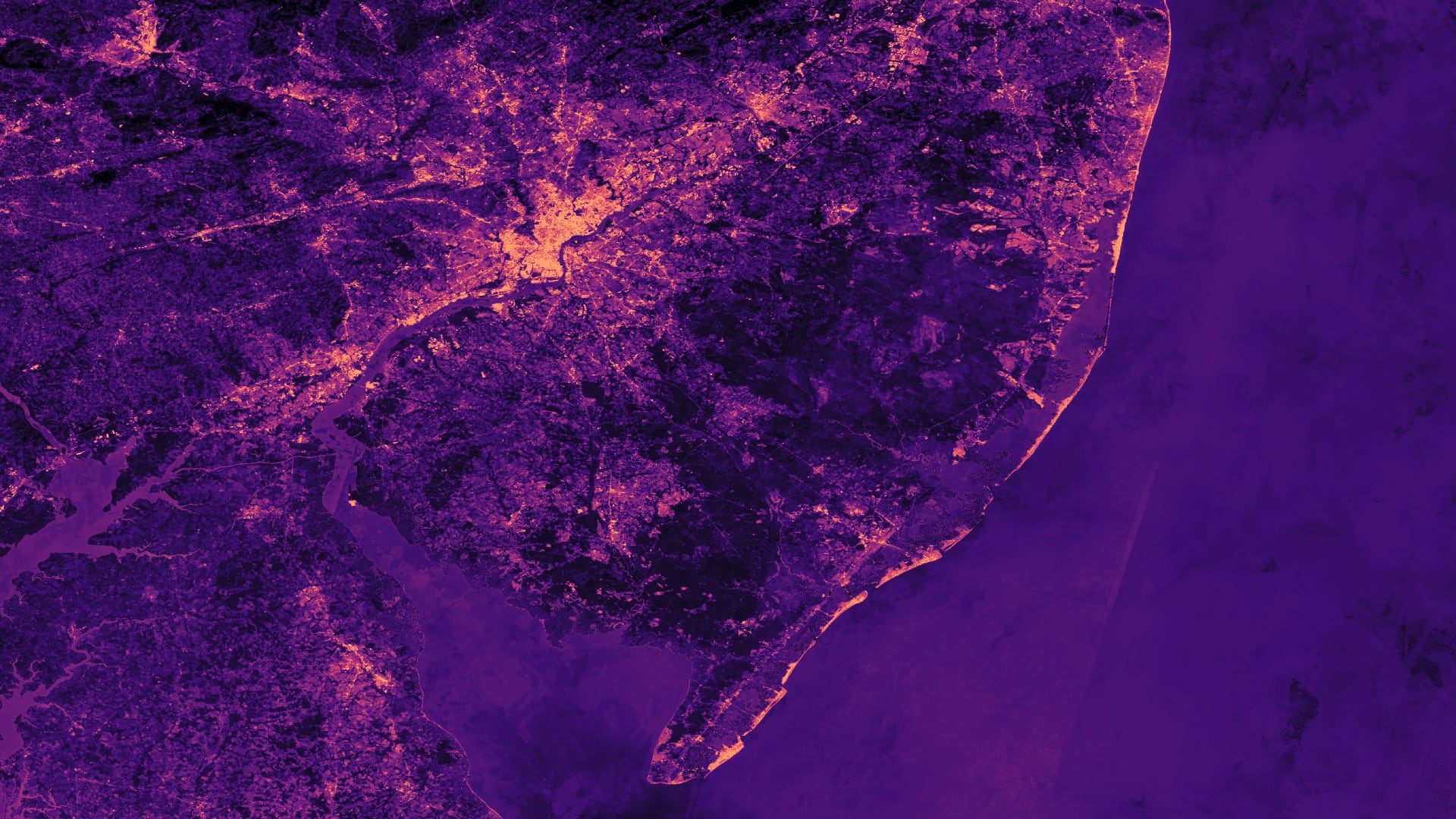
Heat is the leading cause of weather-related deaths in the US, with heat-related hospitalizations increasing by 2-5% between 2001-2010. In Philadelphia alone, 137 heat-related deaths were recorded between 2010-2018, while a total of 18 daily temperature records have been set since 2010. Temperature is relatively higher in cities compared to rural areas, a phenomenon known as the urban heat island effect. This effect exaggerates daytime maximum temperatures and nighttime heat retention in urban areas, which increases heat exposure in urban environments and especially impacts vulnerable populations. Vulnerability to heat-related illnesses is determined by a combination of risk factors, such as demographics, socioeconomic status, and preexisting health conditions. This project supported the Philadelphia Department of Public Health and Office of Sustainability by identifying priority areas for cooling interventions, such as heat danger educational outreach and urban tree planting. The team developed heat vulnerability scores for each census tract within Philadelphia. Remotely sensed land surface temperature, normalized difference vegetation index, normalized difference built-up index, normalized difference water index, and albedo data were calculated from Aqua Moderate Resolution Imaging Spectroradiometer and Landsat 8 Operational Land Imager/Thermal Infrared Sensor instruments. These variables were weighted against socioeconomic variables and preexisting health conditions using a principal component analysis. A total of 74 census tracts clustered were identified as high-risk areas for heat-related illnesses. 15 of these census tracts also had very low tree density (lower 20th percentile) and should be targeted for tree planting initiatives. The findings of this project will help target interventions to mitigate heat-related health issues and improve the overall wellness of Philadelphia residents.
- Location
- Arizona - Tempe
- Term
- Spring 2020
- Partner(s)
- Philadelphia Department of Public Health
City of Philadelphia, Office of Sustainability - NASA Earth Observations
- Aqua MODIS
Landsat 8 OLI
Landsat 8 TIRS - Team
- Brandy Nisbet-Wilcox (Project Lead)
Samuel Meltzer
Spencer Nelson
Charlotte Wagner - Advisor(s)
- Dr. David Hondula (Arizona State University)