Assessing Hydrologic Patterns Using NASA Earth Observations to Address Tree Mortality in Peru’s Coastal Mesquite Forests
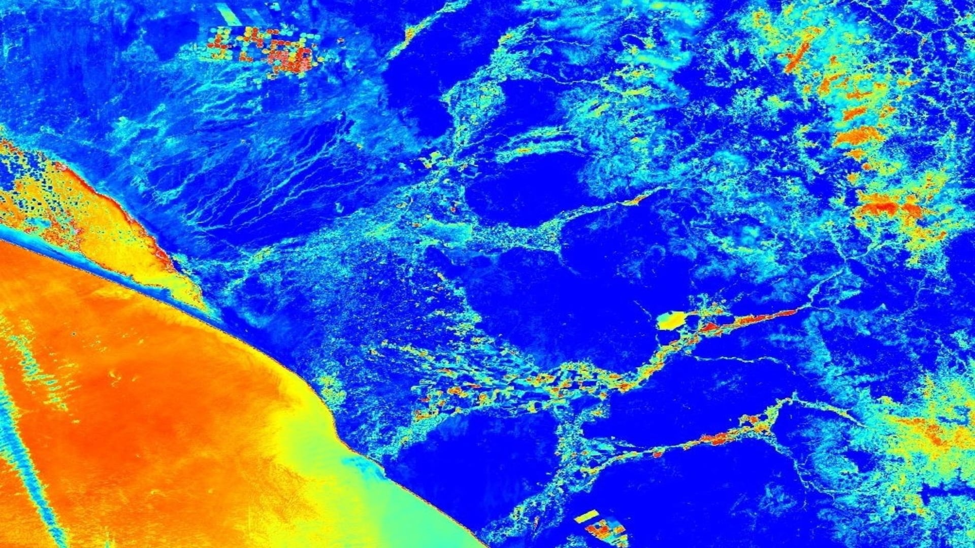
The mesquite (Prosopis sp.) forests in Northwestern Peru have had a significant increase in tree mortality in the past fifty years. Within this time frame, 17% of the forest extent was lost and the forest saw an average annual declination rate of 0.33% (Ektvedt, Vetaas, & Lundberg, 2012). These habitats support the region's rich biodiversity and play an important role in local community economies. Several hydrologic causes for mesquite mortality have been hypothesized, but local researchers lack spatially comprehensive techniques to address the problem. While in situ research is currently being utilized in an attempt to explain this recent anomaly, landscape-level visualizations through remote sensing have not been produced to find connections between hydrologic trends and the health of Northwestern Peru’s mesquite forests. Climate Hazards Group InfraRed Precipitation with Station data and Global Land Data Assimilation System data were analyzed to assess hydrologic patterns pertaining to precipitation and soil moisture in the Lambayeque region of Peru. These data were then paired with vegetation indices derived from Terra Moderate Resolution Imaging Spectroradiometer (MODIS) and Suomi National Polar-orbiting Partnership (NPP) Visible Infrared Imaging Radiometer Suite (VIIRS) to display how changing hydrologic patterns relate to the health of mesquite trees. These data were then compiled on a monthly basis over the 30-year study period to create a time series product, which was later referenced with background research to find the likely causes of recent forest decline. The results will assist in the Lambayeque Regional Government’s understanding of recent biological declination and will help them design strategies to mitigate forest decline in Lambayeque, Peru and surrounding regions.
- Location
- Virginia - Langley
- Term
- Spring 2020
- Partner(s)
- Gobierno Regional de Lambayeque, Gerencia Regional de Recursos Naturales y Gestion Ambiental, Gerencia Regional de Agricultura
Universidad Nacional Pedro Ruiz Gallo
Clark University, George Perkins Marsh Institute - NASA Earth Observations
- Terra MODIS
Suomi-NPP VIIRS
SMAP L-band Radiometer - Team
- Jared Kelly (Project Lead)
Jay Oliver
Luke Quattrochi
Fressia Bechard - Advisor(s)
- Dr. Kenton Ross (NASA Langley Research Center)
Dr. Venkataraman Lakshmi (University of Virginia)