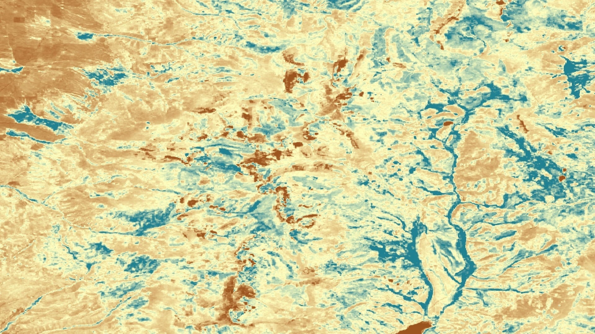
Mapping Wetland and Riparian Areas to Support Rio Grande Cutthroat Trout Habitat Restoration
Over the last century, the Rio Grande cutthroat trout (Oncorhynchus clarki virginalisi; RGCT) population has declined significantly due to habitat loss, competition, and hybridization with non-native trout species; the species currently occupies roughly 11% of its historic habitat. Conservation efforts led by governmental and private actors have succeeded in increasing RGCT populations since the early 2000s. Vermejo Park Ranch, a privately owned 560,000-acre property, partnered with US Fish and Wildlife Service and Colorado Parks and Wildlife (CPW) to begin the largest native trout restoration initiative in North America. Since 2002, these efforts have included wetland and riparian area restoration and RGCT reintroduction. Current restoration efforts focus on restoring the Costilla Creek Watershed to provide cool water temperatures, improve water quality, and create the necessary habitat requirements for the trout species. To guide these restoration efforts, the Colorado – Fort Collins NASA DEVELOP team produced maps to locate and characterize wetland and riparian areas in the Costilla Creek watershed. The team utilized NASA data from Landsat 8 Operational Land Imager, and Landsat 5 Thematic Mapper in conjunction with Sentinel-2 MultiSpectral Instrument, Sentinel-1 Synthetic Aperture Radar, and additional ancillary data for May 2016 to October 2019. In order to produce probability maps of wetland presence, the team used the Software for Assisted Habitat Modeling (SAHM) incorporating predictor variables generated from topographic indices, spectral indices, and radar. The resulting maps allowed Vermejo Ranch and CPW to determine the extent of possible RGCT habitat and identify where habitat restoration efforts are needed.
- Location
- Colorado - Fort Collins
- Term
- Spring 2020
- Partner(s)
- Colorado Parks & Wildlife
Vermejo Park Range - NASA Earth Observations
- Landsat 5 TM
Landsat 8 OLI
Sentinel-1 C-SAR
Sentinel-2 MSI - Team
- Byron Schuldt (Project Lead)
Abby Eurich
Toryn Walton
Kathryn Tafoya - Advisor(s)
- Dr. Paul Evangelista (Colorado State University, Natural Resource Ecology Laboratory)
Dr. Catherine Jarnevich (United States Geological Survey, Fort Collins Science Center)
Tony Vorster (Colorado State University, Natural Resource Ecology Laboratory)
Nicholas Young (Colorado State University, Natural Resource Ecology Laboratory)