Examining Tick-Borne Illness Risk by Evaluating Land Cover and Tick Habitat Suitability in Southern Maine
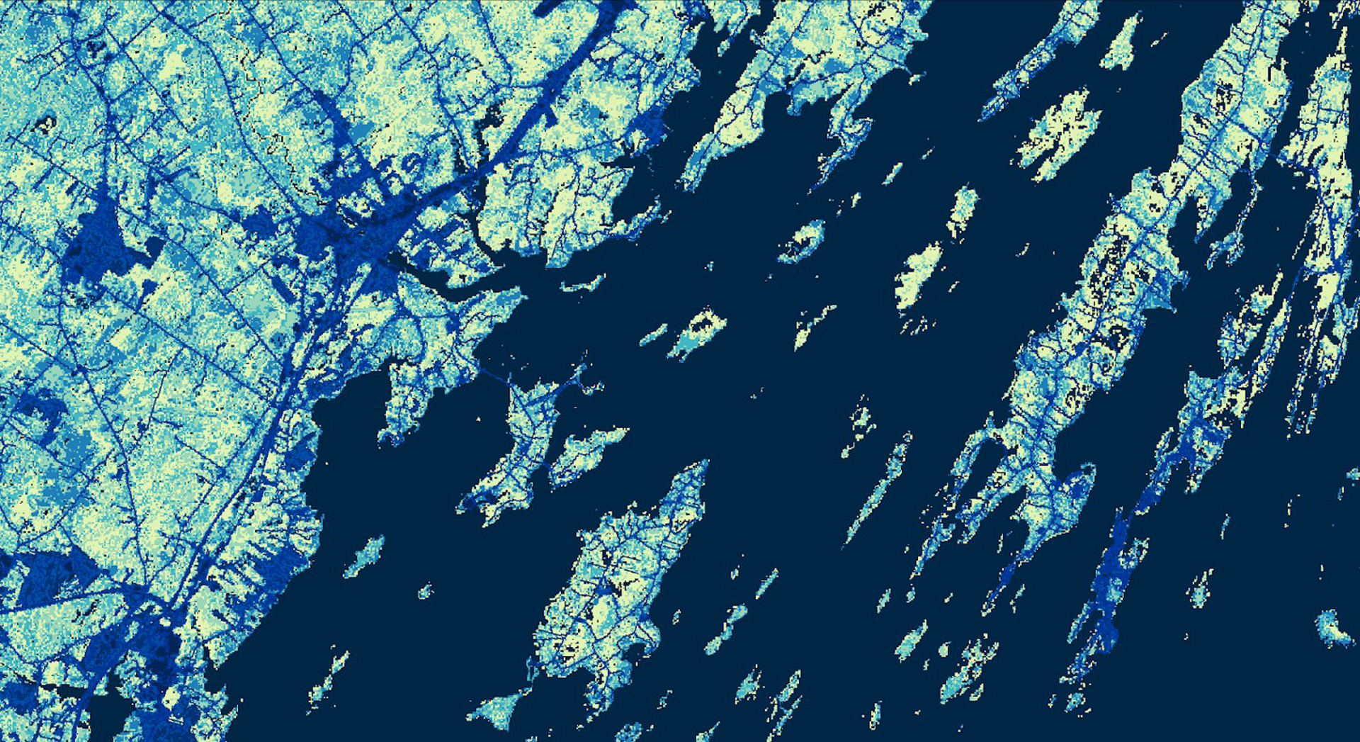
Tick-borne diseases are a public health issue in southern Maine, and recent estimates completed by the State of Maine suggest that as little as 1 in 10 cases of Lyme disease are actually reported. There are three tick-borne diseases known to occur in Maine that can be transmitted by the deer tick (Ixodes scapularis). Due to the higher prevalence and attention from Maine public health institutions, Lyme disease was the predominant focus in this study. The Massachusetts – Boston NASA DEVELOP team partnered with the Maine Medical Center Research Institute, Lyme & Vector-Borne Disease Laboratory; Maine Vector-Borne Disease Working Group; and Bigelow Laboratory for Ocean Sciences to assist with Maine’s tick-borne disease mitigation efforts. The team utilized NASA data from Landsat 8 Operational Land Imager (OLI), Terra and Aqua Moderate Resolution Imaging Spectroradiometer (MODIS), NASA Global Land Data Assimilation System (GLDAS), and NASA Daymet V3, as well as other ancillary datasets, from January 2008 to June 2019. Accurate land cover and tick-borne disease risk maps were created for Cumberland County, Maine. The land cover map allows for improved public awareness of areas conducive to tick encounter. The risk maps illustrate how variations in temperature, humidity, vapor pressure deficit, and precipitation contribute to the spatial distribution of tick-borne illness risk and determine the estimated number of actual Lyme disease incidents per year in every town. In addition, the team created a time series analysis that informs the end user’s research related to the impact of environmental parameters on tick distribution.
- Location
- Massachusetts — Boston
- Term
- Summer 2019
- Partner(s)
- Maine Medical Center Research Institute, Lyme & Vector Borne Disease Laboratory
Maine Vector-Borne Disease Working Group
Bigelow Laboratory for Ocean Sciences - NASA Earth Observations
- Landsat 8 OLI
Terra MODIS
Aqua MODIS - Team
- Celeste Gambino (Project Lead)
Britnay Beaudry
Madison Berman
Monica Colmenares - Advisor(s)
- Dr. Cedric Fichot (Boston University)
Dr. Valerie Pasquarella (Boston University)
Tess McCabe (Boston University)
John Foster (Boston University)