Restructuring the Energy Balance in Ohio by Quantifying Energy Loss and Solar Potential Using NASA Earth Observations and LiDAR
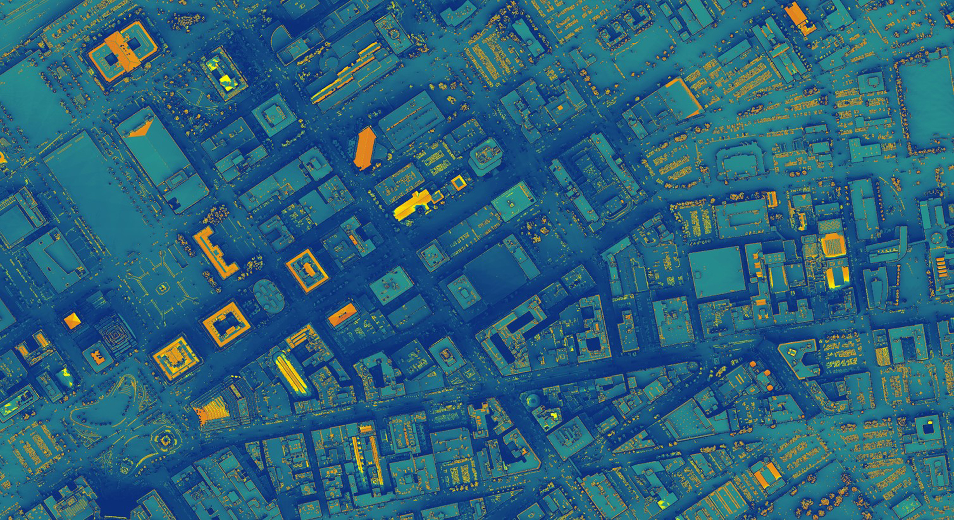
Cities around the globe are adopting clean energy technologies to ensure sustainable development and address the impacts of a changing climate. The City of Cleveland and Cuyahoga County in Ohio have committed to 100% renewable energy by 2035 and 2050, respectively. To help them achieve their clean energy goals, we created a method for generating a solar power potential map and an estimation of potential kilowatt hours within viable locations. Our team used NASA Prediction of Worldwide Energy Resources (POWER) data generated from the CERES and MODIS satellite instruments to estimate incoming solar irradiation and the effects of clouds and aerosols. The main determining factors in identifying areas with high solar potential were shadowing, aspect, and irradiation values dependent on tilt angle. Our methods are an improvement over existing solar potential estimation tool analyses because we used a high resolution (1ft) digital surface model derived from LiDAR data, which allowed for detailed shading, slope, and aspect modeling, and because we adjusted irradiance according to roof slope rather than assuming a horizontal surface irradiation. Additionally, we calculated solar potential per individual roof segment, thereby avoiding an overestimate from inclusion of unsuitable rooftop locations. Results showed that downtown test areas had appreciable solar potential losses due to shadowing from nearby buildings, but there is still significant potential for solar energy generation when kilowatt hours are calculated for viable areas. These methods have the capacity to be applied to the entire county and to other regions seeking to efficiently utilize solar energy.
- Location
- Arizona — Tempe
- Term
- Summer 2019
- Partner(s)
- City of Cleveland, Office of Sustainability
Cuyahoga County, Department of Sustaiability - NASA Earth Observations
- Terra CERES
Aqua CERES
Terra MODIS
Aqua MODIS - Team
- Hannah Besso (Project Lead)
Yiyi He
Crystal Wespestad
Sihang Chen - Advisor(s)
- Dr. David Hondula (Arizona State University)
Dr. Nicholas Rajkovich (University at Buffalo)