Comparing the Efficiency of Space-Based Imagery to AVIRIS Airborne Data for the Identification of Hemlock Forests to Mitigate Invasive Species Expansion
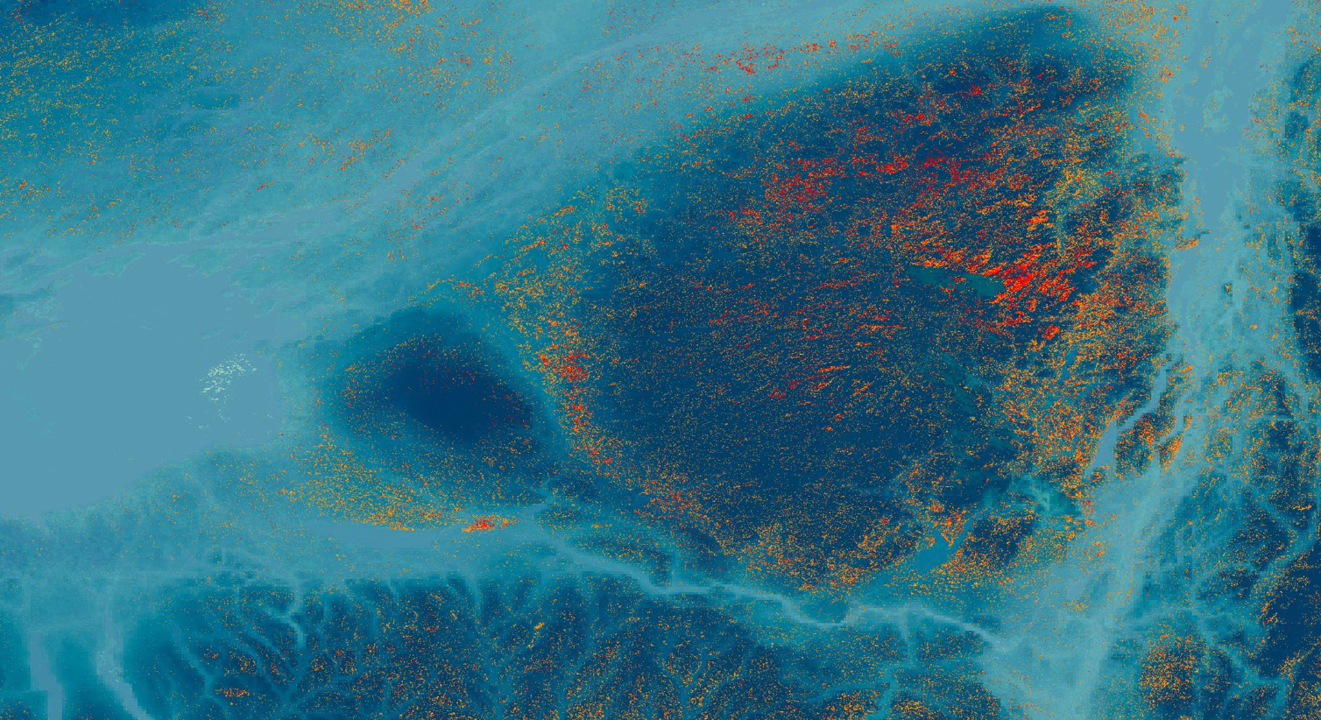
Hemlock woolly adelgid (HWA; Adelges tsugae) is an invasive species that threatens eastern hemlock (Tsuga canadensis) in US forests. Eastern hemlock has a greater capacity to store carbon, regulate stream temperatures, and provide habitat for wildlife compared to sympatric tree species. The New York Ecological Forecasting II team partnered with the New York State Department of Environmental Conservation’s Partnership for Regional Invasive Species Management, Adirondack Park Invasive Plant Program (APIPP) and Partnership for Regional Invasive Species Management, Saint Lawrence - Eastern Lake Ontario (SLELO PRISM), Adirondack Research, Cornell University, and the University of Vermont to support their hemlock conservation efforts. APIPP and SLELO currently lack detailed location data on hemlock stands. We created three hemlock distribution maps modeled using a random forest (RF) classifier in Google Earth Engine (GEE), each using data from either Landsat 8 Operational Land Imager (OLI), Terra Advanced Spaceborne Thermal Emission and Reflection Radiometer (ASTER), or Sentinel-2 Multispectral Imager (MSI), as well as variables closely linked to hemlock habitat (e.g. elevation, slope, aspect, distance to nearest stream, soil type, temperature). Ground-surveyed hemlock presence points allowed the team to train and validate these models and compare the accuracy of previous Airborne Visible/Infrared Imaging Spectrometer (AVIRIS) models to satellite-based models. Our team then used ancillary datasets, including HWA presence data and distance to the nearest stream, to predict hemlock mortality in New York and forecast forest stream resiliency through 2049. These maps aim to improve APIPP’s and SLELO’s current hemlock inventories and HWA early detection efforts. Hemlock distribution maps created from OLI, AVIRIS, and MSI provide more efficient, repeatable models of hemlock distribution than those created with AVIRIS data alone. Our forecasting model also supports predictions that HWA spread will result in stream health decline across NY through 2049.
- Location
- Maryland — Goddard
- Term
- Summer 2019
- Partner(s)
- New York State Department of Environmental Conservation, Partnership for Regional Invasive Species Management, Adirondack Park Invasive Plant Program (APIPP)
New York State Department of Environmental Conservation, Partnership for Regional Invasive Species Management, Saint Lawrence - Eastern Lake Ontario (SLELO PRISM)
Adirondack Research LLC
Cornell University, New York Invasive Species Research Institute
University of Vermont, Rubenstein School of Environment and Natural Resources - NASA Earth Observations
- Landsat 8 OLI
Terra ASTER
Sentinel-2 MSI
SRTM - Team
- Rya Inman (Project Lead)
Abigail Barenblitt
Ryan Hammock
Niharika ‘Chitra’ Kokkirala - Advisor(s)
- Dr. Ezra Schwartzberg (Adirondack Research, LLC)
Dr. Jennifer Pontius (University of Vermont Rubenstein, School of Environment and Natural Resources)