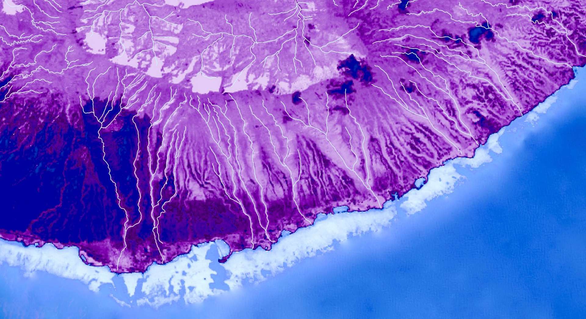
Employing NASA Earth Observations to Map the Impacts of the 'Ohi'a Rust on Forest Health and Coastal Turbidity on Molokai, Hawaii
threat of invasive species has impacted fragile forests across the globe; such impacts can be particularly damaging on island ecosystems where a loss in vegetation can lead to increased runoff. In 2017, a fungal pathogen outbreak of Puccinia psidii impacted 'ohi'a (Metrosideros polymorpha) on Moloka’i, Hawaii, caused widespread defoliation and tree mortality. The impacts of this disease have been intensified by invasive ungulates which stress the trees and increase their vulnerability to disease. Our team partnered with The Nature Conservancy and the United States Geological Survey to better understand the impacts of rust outbreak on forest health and resulting changes in watershed dynamics on Molokai. The Nature Conservancy constructed exclosures around the island to protect vital sections of the forest from ungulates, which can overgraze forest understory, damage trees, and increase their susceptibility to pathogen outbreaks. This project assessed the feasibility of using Landsat 8 Operational Land Imagery and Sentinel-2 MultiSpectral Instrument to map the impact of 'ohi'a forest health, evaluate the effectiveness of fenced exclosures, and assess the feasibility of detecting turbid events from 2013 - 2019. Our results demonstrated a general decline in spectral vegetation indices within impacted areas of the forest while within the exclosures vegetation indices improved over time. Additionally, we found that we were unable to significantly distinguish between turbid and non-turbid events. With an increased understanding of the rust outbreak impacts, our partners can make better informed management decisions to conserve the 'ohi'a and maintain its crucial ecosystem services, such as providing habitat, storing water, and maintaining the island’s hydrologic cycle.
- Location
- Colorado — Fort Collins
- Term
- Summer 2019
- Partner(s)
- USGS, Fort Collins Science Center
The Nature Conservancy
Pu'u O Hoku Ranch - NASA Earth Observations
- Landsat 8 OLI
Sentinel-1 C-SAR
Sentinel-2 MSI - Team
- Nicole Pepper (Project Lead)
David Fluharty
Sophia Leiker
Caroline Odell - Advisor(s)
- Dr. Paul Evangelista (Colorado State University, Natural Resource Ecology Laboratory)
Dr. Catherine Jarnevich (United States Geological Survey, Fort Collins Science Center)
Nicholas Young (Colorado State University, Natural Resource Ecology Laboratory)
Tony Vorster (Colorado State University, Natural Resource Ecology Laboratory)