Employing NASA Earth Observations to Create Enhanced Bare Ground Layers for Invasive Species Habitat Suitability Modeling
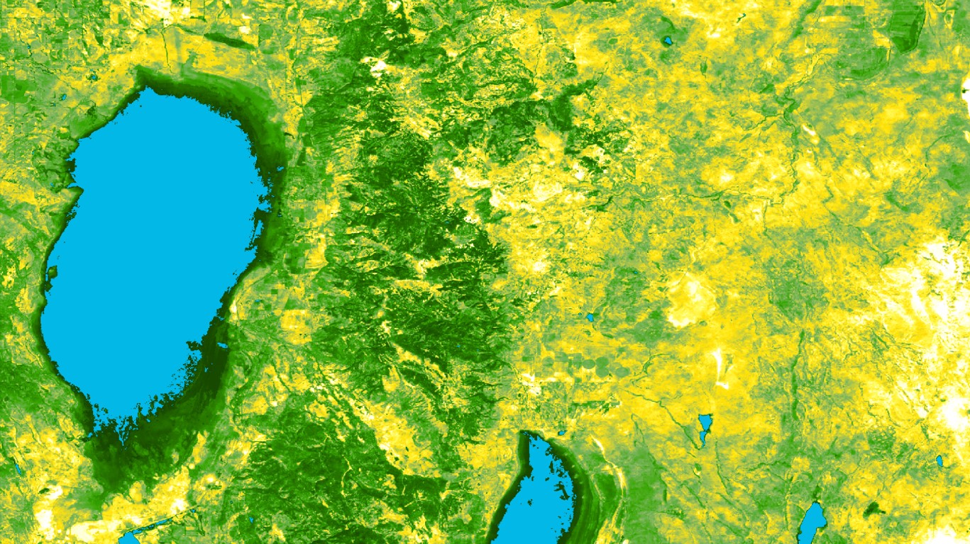
Invasive species threaten the ecological integrity of a region. Such threats have further implications that can affect regional economies and, in some cases, human health. Organizations including the National Parks Service (NPS) and the United States Geological Survey (USGS) are dedicated to the early detection of and rapid response to invasive species of high concern, like medusahead (Taeniatherum caput-medusae). To improve these efforts, our team partnered with researchers from the NPS Exotic Plant Management Team and the USGS Fort Collins Science Center. Our partners currently rely on habitat suitability models to discern the geographic range of invasive species. They identified regions with low vegetation and exposed bare ground to be at higher risk of invasion. However, the USGS and NPS are not using the most detailed resolution available for this bare ground variable. Research shows that the incorporation of high-resolution spectral information can improve the precision of habitat suitability models. To test this, our team focused on enhancing our partner’s bare ground data (250-meter resolution) by utilizing Earth observations from NASA’s Landsat 8 Operational Land Imager (30-meter resolution) and the European Space Agency’s Sentinel-1 C-Band Synthetic Aperture Radar (10-meter resolution). We found that overall model performance was not significantly altered by the incorporation of higher resolution soil variables, however, these soil layers did allow for higher resolution spatial outputs. With more precise habitat suitability models, our partners’ management practices can be more time efficient and cost effective, thus allowing them to scale up the methodology geographically and expand it to other invasive species.
- Location
- Colorado – Fort Collins
- Term
- Spring 2019
- Partner(s)
- National Park Service, Biological Resource Division, Landscape Restoration and Adaptive Branch, North Rocky Mountain Exotic Plant Management Team
United States Geological Survey, Fort Collins Science Center - NASA Earth Observations
- Landsat 8 OLI
Aqua MODIS
Sentinel-1 C-SAR - Team
- Nicole Pepper (Project Lead)
Sophia Leiker
Anastasia Kunz
Rebecca Girma - Advisor(s)
- Dr. Paul Evangelista (Colorado State University, Natural Resource Ecology Laboratory)
Dr. Catherine Jarnevich (United States Geological Survey, Fort Collins Science Center)
Tony Vorster (Colorado State University, Natural Resource Ecology Laboratory)
Nicholas Young (Colorado State University, Natural Resource Ecology Laboratory)
Brian Woodward (Colorado State University, Natural Resource Ecology Laboratory)
Terri Hogan (National Parks Service, Exotic Plant Management Team)