Implementing NASA Earth Observations to Validate Spectral Detection Models of Northern Wild Rice
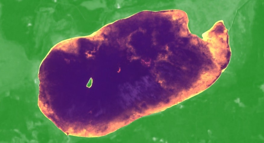
Crop wild relatives (CWRs) are genetically related to cultivated crops and function as repositories for genetic diversity. These plants have the potential to improve the yield, nutritional value, and resilience of crops, thereby buffering against widespread crop failure and supporting rural economic productivity. Our partners at the United States Department of Agriculture, Agricultural Research Service, National Plant Germplasm System (USDA ARS NPGS) are tasked with preserving CWRs, such as northern wild rice (Zizania palustris L.) in Minnesota. Additional partners at the Minnesota Department of Natural Resources (MN DNR) monitor wild rice and other aquatic vegetation by conducting annual field surveys. Currently, the NPGS relies primarily on habitat distribution modeling to predict suitable habitats for CWRs, while the MN DNR relies on its field surveys. This project focused on validating a digital ocular sampling (DOS) method for wild rice detection with the intention of improving habitat distribution modeling and facilitating wild crop monitoring. Previous NASA DEVELOP research incorporated Sentinel-1 C-band Synthetic Aperture Radar and Landsat 8 Operational Land Imager data into a DOS approach, which was subsequently validated in this project with in situ data collected by the MN DNR. Results confirmed that models trained with MN DNR field data, as well as a combination of spectral and radar variables, outperformed other model iterations and are highly accurate in their classification of rice. We also found that DOS is not suitable for training models to distinguish between different aquatic vegetation types. These insights will provide end users with an improved framework for integrating remote sensing into their wild rice monitoring processes.
- Location
- Colorado – Fort Collins
- Term
- Spring 2019
- Partner(s)
- USDA, Agricultural Research Service, National Plant Germplasm System
Minnesota Department of Natural Resources
University of Minnesota - NASA Earth Observations
- Landsat 8 OLI
Sentinel-1 C-SAR
Sentinel-2 MSI - Team
- Vanesa Martín (Project Lead)
Kristen Dennis
Leorah McGinnis
Eli Simonson - Advisor(s)
- Dr. Paul Evangelista (Colorado State University, Natural Resource Ecology Laboratory)
Dr. Catherine Jarnevich (United States Geological Survey, Fort Collins Science Center)
Nicholas Young (Colorado State University, Natural Resource Ecology Laboratory)
Tony Vorster (Colorado State University, Natural Resource Ecology Laboratory)
Brian Woodward (Colorado State University, Natural Resource Ecology Laboratory)