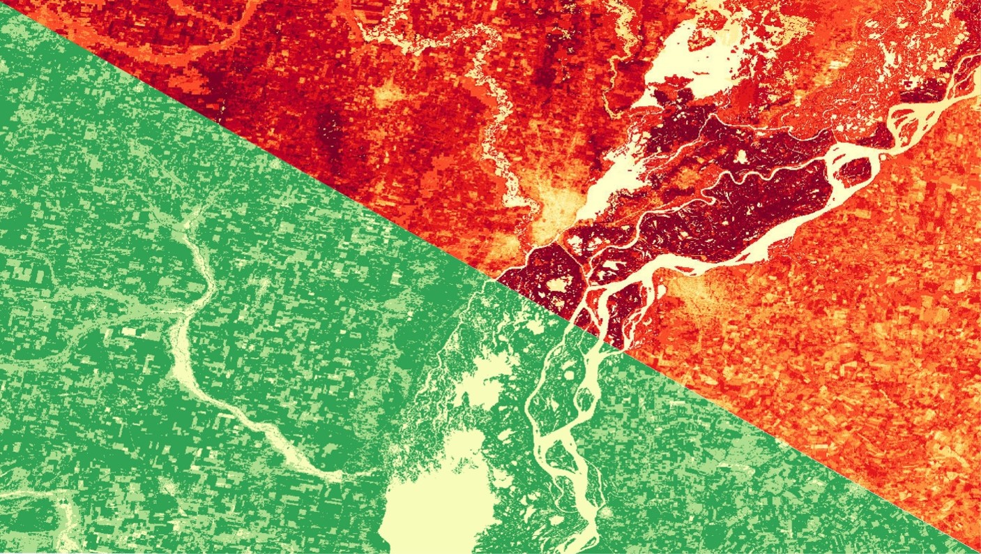
Evaluating Evapotranspiration in Humid Subtropical and Semi-Arid Climates with NASA Earth Observations to Understand Water Balance in Paraná and the Patagonian Steppe of Argentina
Evapotranspiration (ET) is a key indicator of hydrological balance across different ecosystems. Water availability is a vital ecosystem service for biota and communities. The transpiration and evaporation of water from vegetation and soil can be estimated through in situ ET measurements. However, in situ ET data sampling represents an expensive and challenging task, especially in geographically remote areas. Models used in this study utilized data from sensors aboard multiple NASA satellites including, Landsat 8, Aqua, and Terra. Two models, Operational Simplified Surface Energy Balance (SSEBop) and Moderate Resolution Imaging Spectroradiometer (MODIS) Global ET Project (MOD16) were validated by the Fall 2018 NASA DEVELOP Idaho Water Resources II team. The Global Land Data Assimilation Noah evapotranspiration (GLDAS-2-Noah) was validated in Reynolds Creek Experimental Watershed (RCEW) by our Argentina Water Resources team. SSEBop, MOD16, and GLDAS-2-Noah were applied in two study areas: Paraná, province Entre Ríos, Argentina, a humid subtropical (Pampean) bioregion, and the Patagonian Steppe in Argentina, a semi-arid region, climatically similar to the validation site at RCEW. Validation and implementation of the models applied in this study will allow our partners at Consejo Nacional de Investigaciones Científicas y Técnicas (CONICET) and land managers in Argentina to use the model that best suits their needs while also making empirically based decisions regarding water resources.
- Location
- Idaho — Pocatello
- Term
- Spring 2019
- Partner(s)
- CONICET, National Scientific and Technical Research Council, Argentina
- NASA Earth Observations
- Aqua MODIS
Terra MODIS
Landsat 8 OLI
Landsat 8 TIRS - Team
- Carl Jurkowski (Project Lead)
Ahmed Baqai
Jose I. Ochoa
A. R. Williams - Advisor(s)
- Keith T. Weber (Idaho State University, GIS TReC)