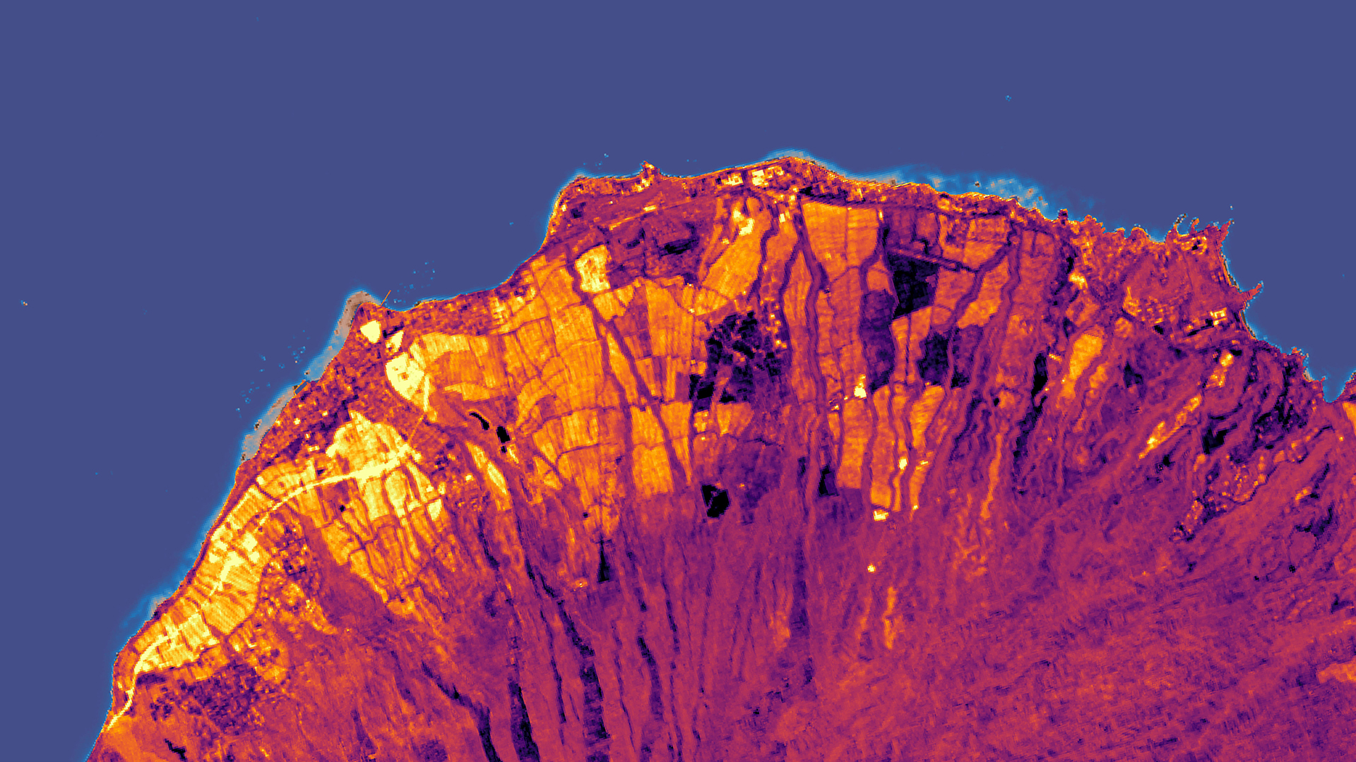
Monitoring the Impacts of Land-Based Sources of Pollution on Water Quality Along the Coast of West Maui, Hawai’i to Assess Coral Reef Condition
West Maui is at risk of losing ecosystem services provided by coral reefs due to land-based sources of pollution (LBSP). In 2011, The US Coral Reef Task Force (USCRTF) identified Wahikuli, Honokōwai, Kahana, Honokahua, and Honolua as priority watersheds in West Maui after decades of coral decline, giving rise to the multi-agency West Maui Ridge to Reef (R2R) Initiative. The DEVELOP Hawai’i Water Resources team partnered with the R2R Initiative and the Hawai’i Department of Land and Natural Resources Division of Aquatic Resources (DLNR-DAR) to address the need for better watershed management practices. The team provided the partners with a Google Earth Engine tool that displays land use and land cover changes (LULCC) in the five priority watersheds and detects near-shore turbidity, chlorophyll-a, and sea surface temperature using Landsat 4 Thematic Mapper (TM), Landsat 5 TM, Landsat 7 Enhanced Thematic Mapper (ETM+), Landsat 8 Operational Land Imager (OLI), Terra Moderate Resolution Imaging Spectroradiometer (MODIS), and Aqua MODIS. Team members used ancillary data provided by the R2R Initiative and the USGS Pacific Coastal and Marine Science Center (PCMSC) to validate satellite parameter values. The land cover analysis captured a general trend of increasing impervious cover and decreasing vegetated cover from 1989 to 2019; however, the extent of this change varied between each watershed. This analysis, coupled with the tool, can help project partners continually monitor terrestrial and marine patterns associated with coral decline.
- Location
- California — Ames
- Term
- Fall 2019
- Partner(s)
- US Coral Reef Task Force, West Maui Ridge to Reef Initiative
Hawai’i Department of Land and Natural Resources, Division of Aquatic Resources
USGS Pacific Coastal and Marine Science Center - NASA Earth Observations
- Landsat 4 TM
Landsat 5 TM
Landsat 7 ETM+
Landsat 8 OLI
Terra MODIS
Aqua MODIS - Team
- Arev Markarian (Project Lead)
Emily Deardorff
Arthur Platel
Sophia Skoglund - Advisor(s)
- Dr. Juan Torres-Pérez (Bay Area Environmental Research Institute, NASA Ames Research Center)