Monitoring the Spread of Invasive Grasses and the Impacts on Grassland Management Practices in the Great Plains Using NASA Earth Observations and NOAA Climate Data Records
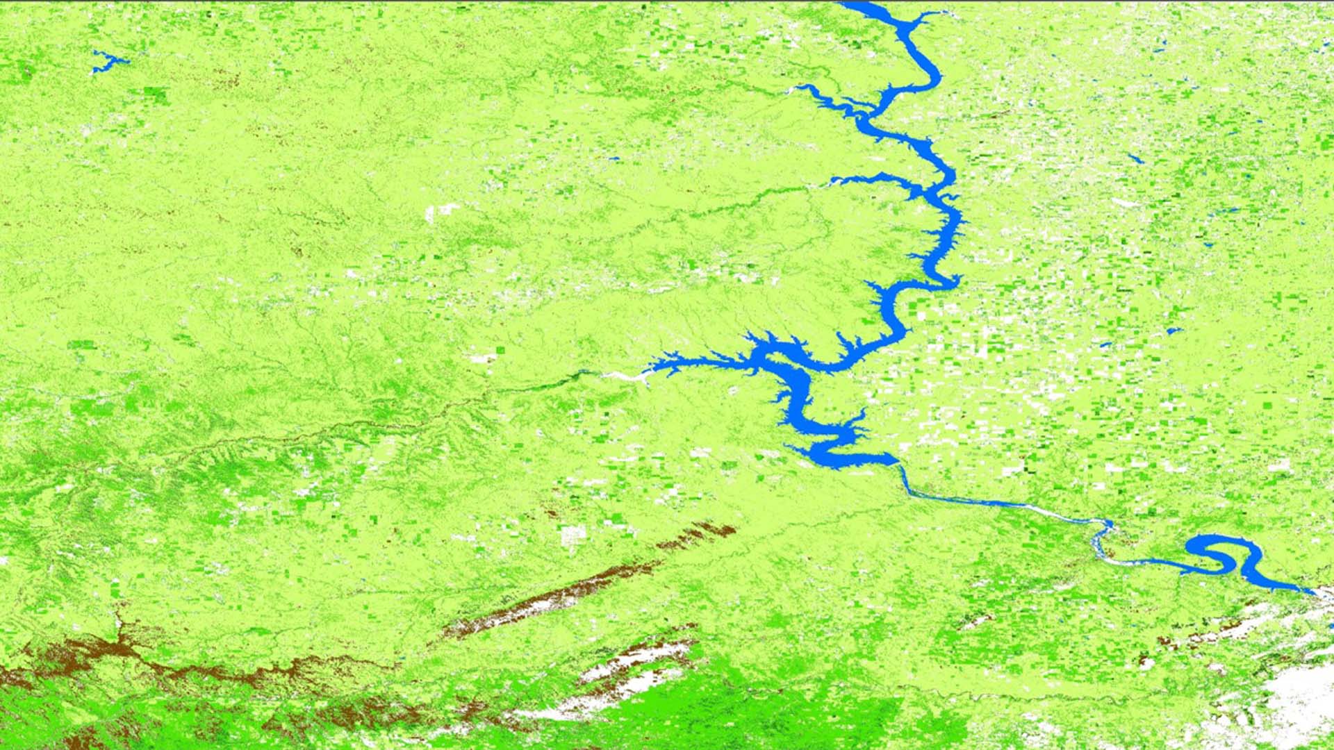
Invasive grass species, specifically B. tectorum (cheatgrass), B. japonicus (japanese brome), and Melilotus (sweet clover), have expanded out of the Great Basin and into the western Great Plains of the United States. Increased development and land use in western South Dakota have provided a gateway for these species to invade and dominate formerly native grasslands. This project evaluated the historic distribution of invasive species, by creating invasive species distribution maps on a county level for South Dakota from 1997-2018. Landsat 5 Thematic Mapper (TM) and Landsat 8 Operational Land Imager (OLI) were used to classify regions of grassland and non-grassland in South Dakota. Invasive and native grasses were identified within the grassland regions using Earth Observations and phenological climate data records. Phenology variables from the NOAA Advanced Very High-Resolution Radiometer (AVHRR) climate data record included Normalized Difference Vegetation Index (NDVI), Leaf Area Index (LAI), and Fraction of Absorbed Photosynthetically Active Radiation (FAPAR). Forwarn Phenology Parameter Products derived from MODIS also provided additional NDVI data. These phenology variables from AVHRR and Forwarn were studied to determine a method to distinguish between native and invasive grasses. The team validated the classification of native and invasive grasses using in situ data to cross reference and compare to the remote sensed data. This comparison also provided insight into the spatial and temporal completeness of the in situ data reporting in the area. Finally, the team used regression modeling to make future projections of land cover classification by county. The methods applied to our case study region of South Dakota will serve as a guide for historic and future invasive grass identification over the Great Plains region. The results will be used to inform local management practices and combat ecosystem threats, such as an increased risk of wildfire and an altered biomass of the region that impact cattle grazing patterns.
Project Video:
Into the Weeds
- Location
- North Carolina - NCEI
- Term
- Summer 2018
- Partner(s)
- DOI, National Invasive Species Council Secretariat
NOAA Regional Climate Services, Central Region
USDA Agricultural Research Service, High Plains Grasslands Research Station - NASA Earth Observations
- Landsat 5, TM
Landsat 8, OLI
AVHRR - Team
- Brooke Adams (Project Lead)
Conor Mulderrig
Forest Kane Cook - Advisor(s)
- Dr. Jessica Matthews (North Carolina Institute for Climate Studies)
- Project Materials Poster PDF