Evaluating Grassland Conversion and the Related Likelihood of Fire Disturbance to Enhance Fire Monitoring and Management in the Kenai Peninsula, Alaska
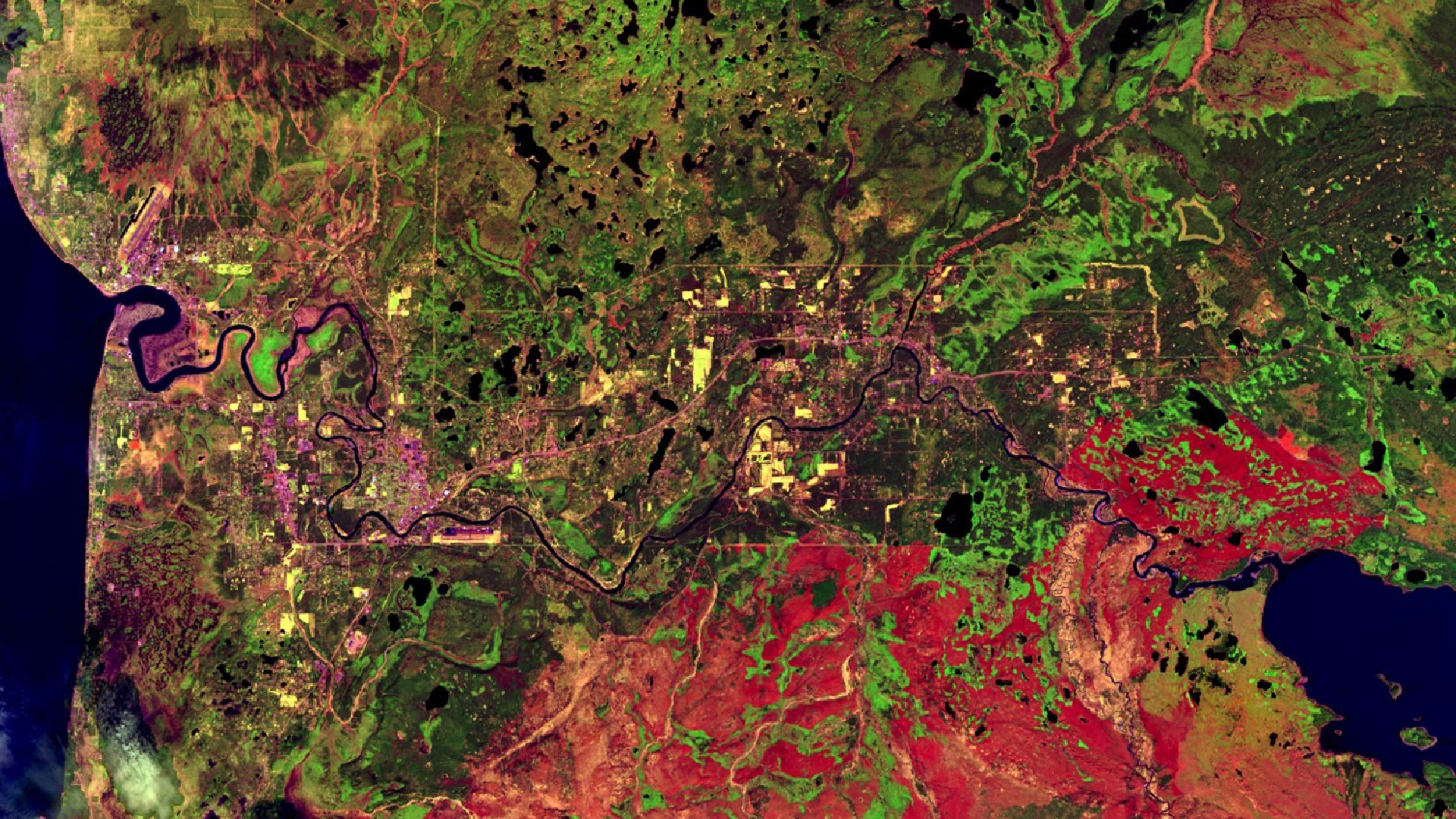
Spruce beetle-induced (Dendroctonus rufipennis (Kirby)) mortality on the Kenai Peninsula has heightened local wildfire risk as canopy loss facilitates the conversion from blank to fire-prone grassland. We collected images from NASA Earth observations to visualize land cover succession at roughly five-year intervals following a severe, mid-1990's beetle infestation to the present. Using ArcGIS Pro, we classified these data by vegetation cover type to quantify grassland encroachment patterns over time. We used the raster calculator in ArcGIS Pro to conduct a change detection analysis on the land cover classifications. The resulting change image will give the Kenai National Wildlife Refuge (KENWR) ecologists a better understanding of where forests have converted to grassland since the 1990s. These classifications provided a foundation for us to integrate digital elevation models (DEMs), temperature, and historical fire data into a model using Python for assessing and mapping changes in wildfire risk. Spatial representations of this risk will contribute to a better understanding of ecological trajectories of beetle-affected landscapes, thereby informing management decisions at KENWR.
Project Video:
The Beetles' Greatest Hits
- Location
- Maryland - Goddard
- Term
- Summer 2018
- Partner(s)
- US Fish and Wildlife Service, Kenai National Wildlife Refuge
- NASA Earth Observations
- Aqua, MODIS
Terra, MODIS
Landsat 4, TM
Landsat 5, TM
Landsat 7, ETM+
Landsat 8, OLI - Team
- Katherine Hess (Project Lead)
Jeanette Cobian
Dr. Cheila Cullen
Victor Lenske
Jacob Ramthun - Advisor(s)
- Dr. John Bolten (NASA Goddard Space Flight Center)
Dr. Adrianna Foster (Universities Space Research Association, NASA Goddard Space Flight Center)
Joseph Spruce (Science Systems and Applications, Inc., NASA Stennis Flight Center) - Project Materials Poster PDF