Employing NASA Earth Observations to Model Availability of Ephemeral Water Sources and Vegetation Change in Support of a USGS Feasibility Assessment and Management Strategy of Bison
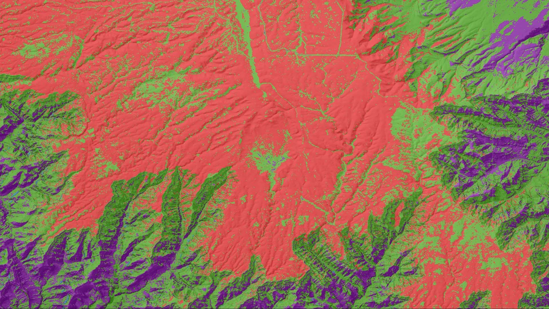
The United States Geological Survey (USGS) and National Park Service (NPS) are concerned by the increasing Kaibab Plateau bison population on the North Rim of Grand Canyon National Park (GRCA). Currently, within the park's boundaries, the bison have no predators and hunting is prohibited, resulting in an increasing bison population. This growing population has led to significant impacts on resources such as vegetation, water resources, soils, and archaeological sites from extensive grazing, trampling, and wallowing behavior. Wallowing, or the act of bathing in dust or loose soil to deter insects, is one of the chief concerns of the NPS because continuous wallowing slows the recovery of vegetation in arid environments. The NPS is tasked with sustaining the health of the park for future generations, but there is limited information available to quantify the impacts of bison. This study utilized NASA Earth observation data from Landsat 5 Thematic Mapper (TM), Landsat 7 Enhanced Thematic Mapper (ETM+), Landsat 8 Operational Land Imager (OLI), and the European Space Agency's Sentinel-2 MultiSpectral Instrument (MSI) to analyze the changes in vegetation and water resources before and after intensive bison activity. Shuttle Radar Topography Mission (SRTM) version 3 data were paired with additional spectral information to model impacted resources for comparison with potential bison distribution. Final maps of water availability, vegetation change, and potential bison movement corridors will be used by the USGS and NPS to inform herd population management efforts and site level restoration.
Project Video:
Wallowing in the Wild West
- Location
- Colorado - Fort Collins
- Term
- Summer 2018
- Partner(s)
- National Park Service, Grand Canyon National Park; USGS, Fort Collins Science Center Ecosystem Dynamics Branch
- NASA Earth Observations
- Landsat 5, TM
Landsat 7, ETM+
Landsat 8, OLI
Sentinel-2, MSI - Team
- Jillian LaRoe (Project Lead)
Timothy Mayer
Shaunie Rasmussen
Mikhail Schee
Griffin Shelor - Advisor(s)
- Dr. Paul Evangelista, (Colorado State University, Natural Resource Ecology Laboratory)
Nicholas Young, (Colorado State University, Natural Resource Ecology Laboratory)
Tony Vorster, (Colorado State University, Natural Resource Ecology Laboratory)
Brian Woodward, (Colorado State University, Natural Resource Ecology Laboratory) - Project Materials Poster PDF