Southeastern United States Disasters
Early Detection of Bark Beetle Outbreaks in the Southeastern United States Using Earth Observations
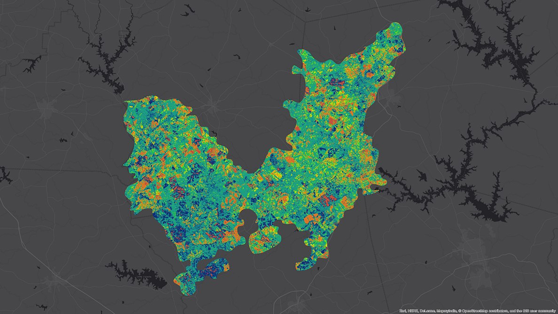
Since 2015, bark beetle infestations have increased in the southeastern United States, increasing the potential for devastating wildfires. Bark beetles infestations begin in small spots, usually by attacking a weakened or stressed focal tree. Beetles then use aggregation pheromones to increase the breeding population in the area, boring into the trees and disrupting the flow of water and nutrients to reproduce and develop under the bark. This disrupting activity causes detectable canopy color changes, with needles fading and eventually turning red before falling off. The USDA US Forest Service currently uses ForWarn Moderate Resolution Imaging Spectroradiometer (MODIS) Normalized Difference Vegetation Index (NDVI) to identify locations of bark beetle outbreaks; however, the spatial resolution of MODIS can only detect infestation once a sufficiently large swath of trees have dying foliage, lost needles, or have been harvested via sanitation logging. This detection of widespread disturbance can be too late for effective intervention to reduce beetle populations using forest management practices. In response, the NASA DEVELOP team assessed the potential of higher resolution remotely sensed imagery from Landsat 8 Operational Land Imager (OLI) and Sentinel-2 MultiSpectral Instrument (MSI) to detect early stages of bark beetle outbreaks occurring in the Oconee National Forest from January 2015 – July 2017. The project assessed the possibility of enhanced early detection of bark beetle activity via remote sensing, which could improve the US Forest Service's ability to mitigate beetle damage in forests of the southeastern United States.
Project Video:
Barking Up the Wrong Tree
- Location
- Alabama - Mobile
- Term
- Spring 2018
- Partner(s)
- USDA, US Forest Service, Eastern Forest Environmental Threat Assessment Center
- NASA Earth Observations
- Landsat 8, OLI
Sentinel 2, MSI - Team
- Haley Ritger (Project Lead)
Jacob Armistead
Dionne Blanks
Madison Murphy
Danielle Quick
Larissa Robinov - Advisor(s)
- Dr. Bernard Eichold, M.D., Mobile County Health Department
Joe Spruce, Science Systems & Applications, Inc
Dr. Kenton Ross, NASA Langley Research Center - Project Materials Poster PDF