North Dakota & Georgia Agriculture & Food Security
Using NASA Earth Observations and SAR to Enhance Crop Classification Accuracy from Ground Surveys to Larger Scales in the Long Term Agroecosystem Research (LTAR) Network
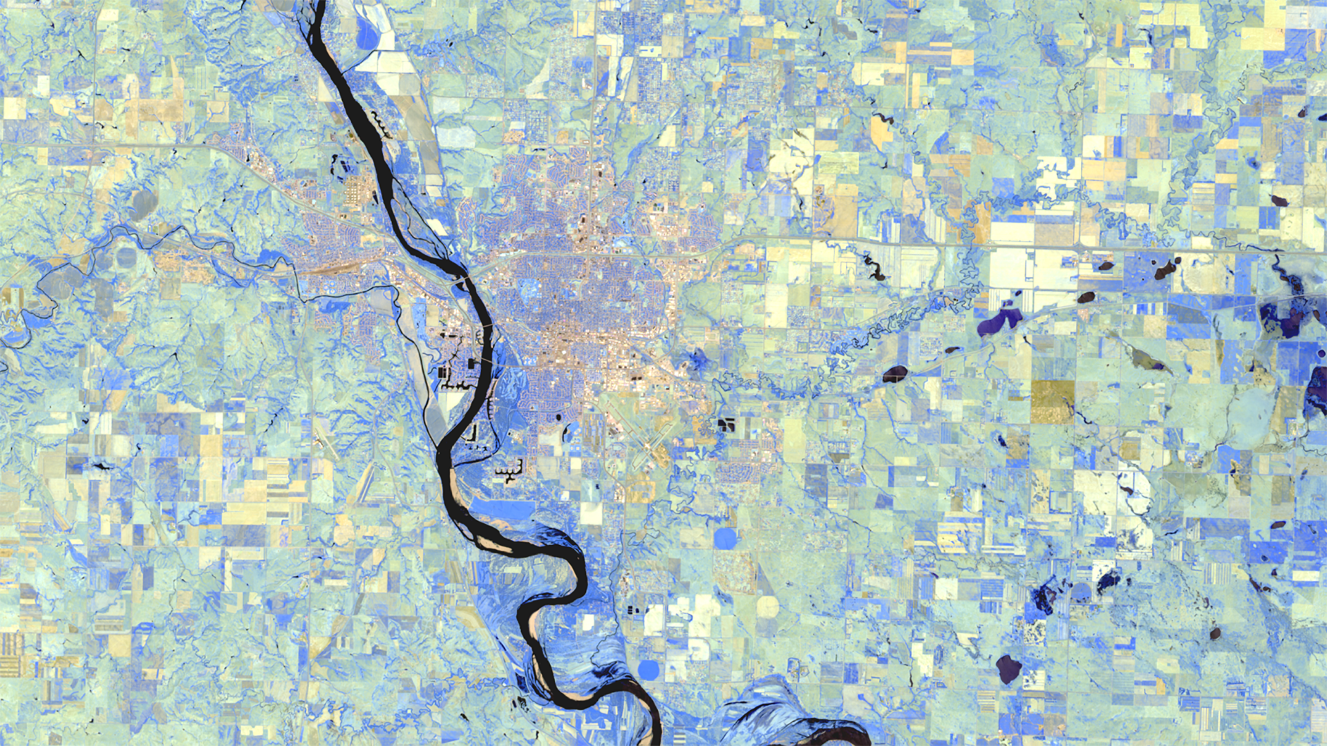
North Dakota and Georgia are two of the largest commercial agricultural producers in the United States, with a combined crop value of over 11 billion dollars. Agriculture management and sustainability practices—such as irrigation patterns and plant and harvest strategies—are crucial to long-term food security. Crop classification improves agriculture management decisions by distinguishing between different crop types and providing information on the climatic requirements, productivity, and environmental impact of each. This project collaborated with the USDA Agricultural Research Service (ARS) to evaluate the effectiveness of an integrated remote sensing approach to crop classification. The team compared multispectral Landsat 8 Operational Land Imager (OLI), Sentinel-1 C-Band Synthetic Aperture Radar (C-SAR), and Sentinel-2 MultiSpectral Instrument (MSI) data from the 2016-2017 growing seasons in North Dakota. In situ crop field data from ARS were used to test and calibrate the accuracy of the crop classification maps. The inclusion of radar in classification allowed for more precise and active monitoring in these crucial crop areas. Going forward, the ARS can advance crop classification methods and sensors to support larger study areas.
Project Video:
Trust Your Radar
- Location
- California - JPL
Virginia - Langley - Term
- Spring 2018
- Partner(s)
- USDA, Agricultural Research Service, Southeast Watershed Research Laboratory
USDA, Agricultural Research Service, Northern Great Plains Research Laboratory
USDA, National Agricultural Statistics Service, Spatial Analysis Research Section - NASA Earth Observations
- Sentinel-1, C-SAR
Sentinel-2, MSI
Landsat 8, OLI - Team
- Eleanor Hunts (Project Co-Lead)
Lael Wakamatsu (Project Co-Lead)
Katherine Cavanaugh
Jared Goldbach Ehmer
Maya O'Brien
Sarah Phillips - Advisor(s)
- Bruce Chapman (NASA Jet Propulsion Laboratory, California Institute of Technology)
Paul Siqueira (University of Massachusetts, Amherst)
Tracy Whelen (University of Massachusetts, Amherst)
Dr. Kenton Ross (NASA Langley Research Center) - Project Materials Poster PDF