Fremont River Basin Water Resources

Water Availability Assessment from Annual Snowpack in the Fremont River Basin Based on NASA Earth Observations and In Situ Data
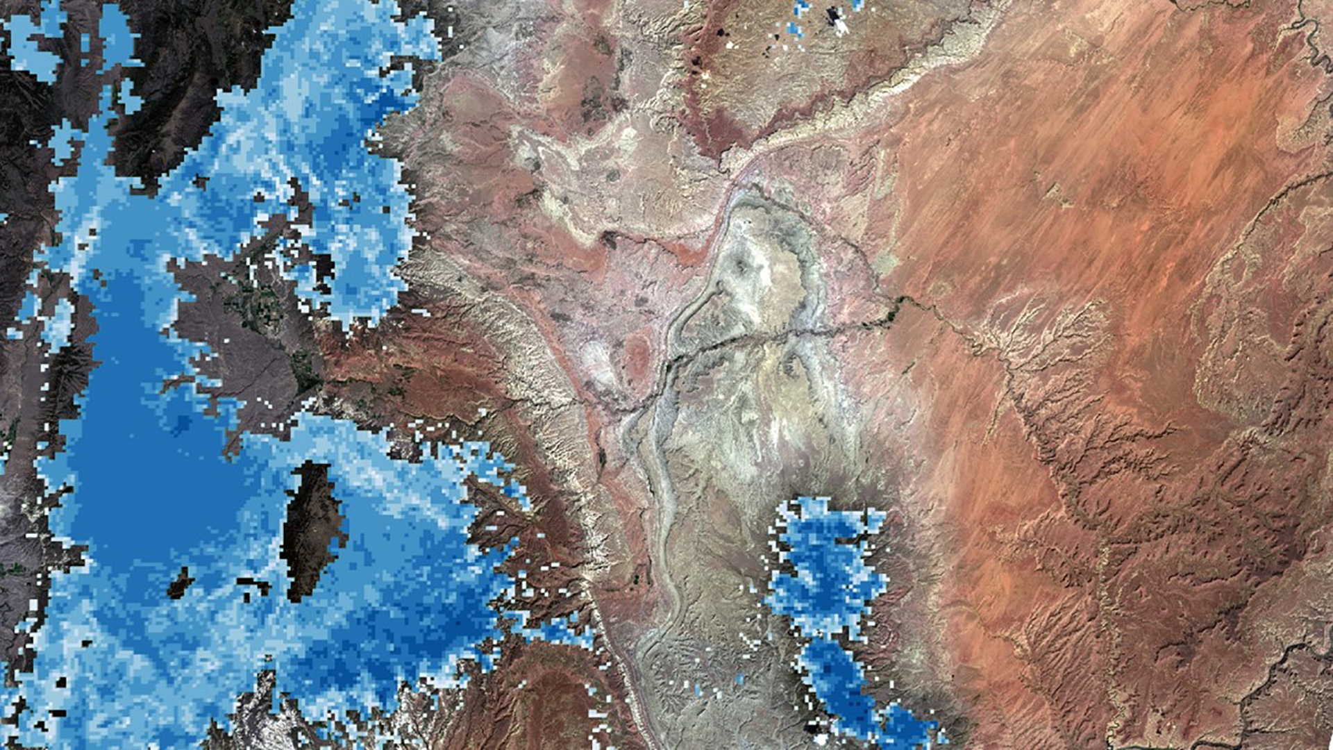
The Fremont River in Utah provides water for wildlife, riparian habitats, and irrigation for approximately 16,000 acres of agricultural lands, which includes the historic orchards and pastures maintained by Capitol Reef National Park. Annual snowmelt is recognized as the primary water source within the Fremont River Basin. However, the predictions of seasonal water availability within the basin from in situ snowpack measurements have been unreliable in the past. For this reason, a more robust method was required to provide accurate estimates. To better predict the annual water resources from snowmelt, the team utilized daily Normalized Difference Snow Index (NDSI) snow cover data and daily Land Surface Temperature (LST) data from the Terra Moderate Resolution Imaging Spectroradiometer (MODIS). The team also integrated daily precipitation data from the Precipitation Estimation from Remotely Sensed Information Using Artificial Neural Networks - Climate Data Record (PERSIANN - CDR). These datasets were incorporated in the SNowmelt Observational Watershed Model (SNOW-M) with in situ data to create two graphical outputs revealing the changes in snowmelt between 2000 and 2017. These graphical outputs included the actual flow versus the simulated water flow per annum and the snow covered area per annum. The model also simulated the projected water flow for three months based on snow covered area. Complementing the M-SRM, monthly Terra MODIS NDSI snow cover data were utilized to produce maps displaying the change in snow cover extent. These products will be employed by the project partners to further predict the seasonal water availability for irrigation.
Project Video:
The More You Snow
- Location
- Virginia - Wise
- Term
- Spring 2018
- Partner(s)
- National Park Service, Northern Colorado Plateau Network
National Park Service, Capitol Reef National Park - NASA Earth Observations
- Terra, MODIS
PERSIANN-CDR - Team
- Margaret Mulhern (Project Lead)
Manda Au
Nolan Barrette
Austin Counts - Advisor(s)
- Joseph Spruce (Science Systems & Applications, Inc., Consultant)
Dr. L. DeWayne Cecil (NOAA National Centers for Environmental Information, Global Science & Technology, Inc.)
Dr. Anette Hollingshead (Global Science & Technology, Inc.)
Bob VanGundy (The University of Virginia's College at Wise)
Dr. Kenton Ross (NASA Langley Research Center) - Project Materials Poster PDF