Black Rock Playa Urban Development
A Multi-Sensor Approach to Determine the Impacts of Human Activity and Natural Surface Deformation on the Black Rock Playa, Nevada
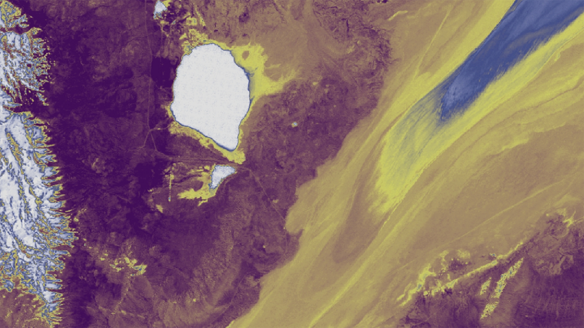
Since the early 2000s, wind-deposited sediment mounds have been growing and encroaching onto the Black Rock Playa of the Black Rock Desert-High Rock Canyon Emigrant Trails National Conservation Area. These sedimentary structures along the edge of the playa potentially increase dust emissions and alter the natural landscape, limiting recreational activities such as land sailing and high-speed racing. Possible sources of increased sediment input for the mounds are drought, natural processes, or anthropogenic activity – although some members of the community believe that Burning Man, a festival hosted annually on the playa, may be the primary culprit. With Burning Man's recent request to increase its population capacity, the Bureau of Land Management (BLM) must evaluate the event's environmental impact through submission of an Environmental Impact Statement (EIS). To better understand contributing factors to mound growth and migration, the DEVELOP team assessed landscape changes from 1997 to 2017. Surface deformation maps were generated from Synthetic Aperture Radar (SAR) Earth observations from Sentinel-1, in conjunction with optical Earth observations from Landsat 5 Thematic Mapper (TM), Landsat 8 Operational Land Manager (OLI), and Terra Advanced Spaceborne Thermal Emission and Reflection Radiometer (ASTER). Historic weather data from Black Rock Playa and Gerlach, Nevada weather stations were used to place surface morphology observations in the context of typical drought years, flooding events, and wind patterns. Results will help constrain the mechanism behind mound growth and migration and will assist BLM's Winnemucca District, Black Rock Field Office in determining if recreational activities should continue to be permitted on the playa.
Project Video:
A Mound of Problems
- Location
- California - JPL
- Term
- Spring 2018
- Partner(s)
- Bureau of Land Management, Winnemucca District, Black Rock Field Office
- NASA Earth Observations
- Landsat 5, TM
Landsat 8, OLI
Terra, ASTER
Sentinel-1, C-SAR - Team
- Neda Kasraee (Project Lead)
Dara Laczniak
Marcella Rose
Nick Rousseau - Advisor(s)
- Bruce Chapman (NASA Jet Propulsion Laboratory, California Institute of Technology)
Tom Farr (NASA Jet Propulsion Laboratory, California Institute of Technology) - Project Materials Poster PDF