Utilizing Synthetic Aperture Radar and NASA Earth Observations to Identify Optimal Transportation Routes to Assist Emergency Responders after Flood Events in the Ohio River Valley
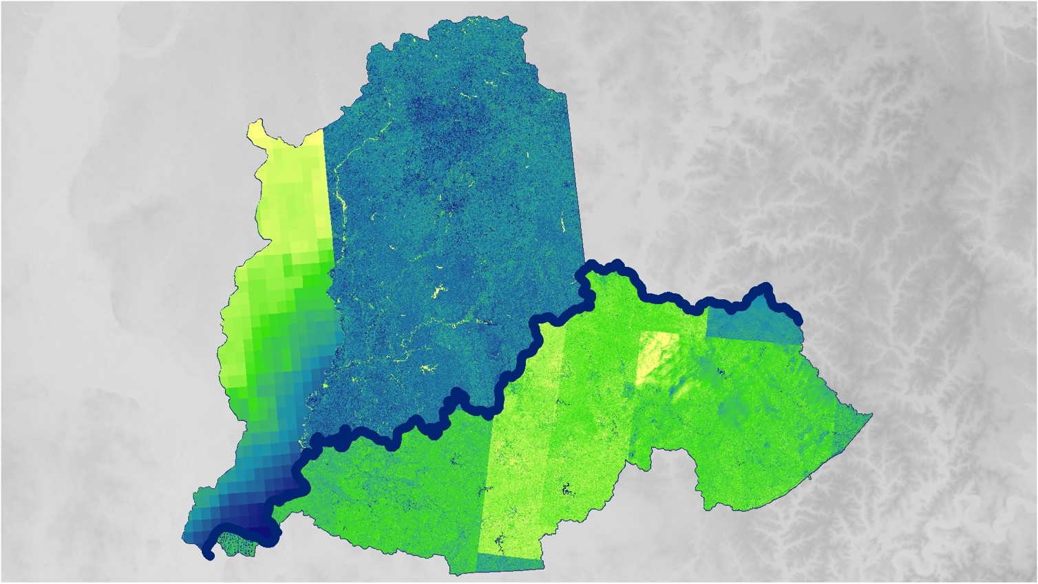
The Ohio River provides the 13-state region of the Ohio River Valley with economic and social benefits through power generation, industrial manufacturing, drinking water, and recreational uses. While the river is an important environmental and economic resource, the valley is prone to numerous flood events that damage the environment, residential areas, and important infrastructure. The fall 2018 NASA DEVELOP Ohio River Valley Transportation and Infrastructure team utilized Landsat 8 Operational Land Imager (OLI) and Sentinel-1 C-band Synthetic Aperture Radar (SAR) data to identify flood events and their intensities and develop flood risk maps of the area. The Global Precipitation Measurement (GPM) Integrated Multi-Satellite Retrievals for GPM (IMERG) and the Shuttle Radar Topography Mission (SRTM) provided precipitation and elevation data used in flood analysis. The team partnered with the Federal Emergency Management Agency, the NOAA National Weather Service Ohio River Forecast Center, the Kentucky Division of Water, and the NASA Short-term Prediction Research and Transition Center (SPoRT) to investigate flood risk throughout the Ohio River Valley, identify key infrastructure at risk, and provide favorable transportation routes during these events. The team found that during a 2018 flood event, 667 miles of major highways were impassible and 16% of all hospitals within the study area were inaccessible. The results of this project will assist forecasters and emergency responders by providing a detailed report of vulnerable populations, at risk infrastructure, and historical impassible route systems.
Project Video:
Bridge over Troubled Water
- Location
- Alabama - Marshall
- Term
- Fall 2018
- Partner(s)
- NOAA National Weather Service, Ohio River Forecast Center
Federal Emergency Management Agency
Kentucky Division of Water, Energy and Environment Cabinet
NASA Short-term Prediction Research and Transition Center (SPoRT) - NASA Earth Observations
- Sentinel-1, C-SAR
Landsat 8, OLI
GPM, IMERG
SRTM - Team
- Kane Cook (Project Lead)
Christine Evans
Sara Miller
Alex Younger - Advisor(s)
- Dr. Jeffrey Luvall (NASA Marshall Space Flight Center)
Dr. Robert Griffin (University of Alabama in Huntsville)
Dr. Franz Meyer (University of Alaska Fairbanks)
Suravi Shrestha (NASA Short-term Prediction Research and Transition Center)
Maggi Klug (University of Alabama in Huntsville)
Leigh Sinclair (University of Alabama in Huntsville, Information Technology and Systems Center)