Utilizing NASA Earth Observations and NOAA Climate Data Records to Produce Climate Indicators of Rangeland Health and Wildfire
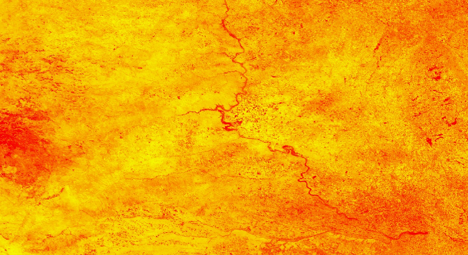
The grasslands of the Great Plains that span the Dakotas and Nebraska are crucial for the region’s agriculture and livestock grazing. In the face of increased variability in regional climate, their susceptibility to drought conditions, wildfires, and extreme weather events are expected to increase. Building upon an existing fire risk indicator from a previous DEVELOP team, this project worked with the Bureau of Indian Affairs (BIA), the State Fire Meteorologist of South Dakota, the Central Region Climate Services Director, and the National Integrated Drought Information System (NIDIS) to enhance the original product. The end product sends a daily map of wildfire risk across the Great Plains to partners. The map compiles Earth observations, including snow cover from NASA’s Moderate Resolution Imaging Spectroradiometer (MODIS) sensor aboard the Terra satellite, fuel moisture content derived from the Suomi National Polar-orbiting Partnership (NPP) Visible Infrared Imaging Radiometer Suite (VIIRS), and precipitation estimates from the Global Precipitation Measurement (GPM) Core Observatory mission. Additional modeled datasets in the tool include wind speeds, daily average temperature, and dew point from NOAA’s Real-Time Mesoscale Analysis (RTMA), drought conditions from the US Drought Monitor, daily climatological temperature averages from 1981-2010 from Oregon State University’s Parameter-elevation Regressions on Independent Slopes Model (PRISM) Climate Group, and soil moisture measurements from the North American Land Data Assimilation System (NLDAS). This Fire Risk Estimation (FIRE) 2.0 tool creates a daily fire risk map for the fire management community in the Great Plains to monitor day-to-day changes in climate indicators and help them prepare for when and where the next major fire may strike.
Project Video:
Beating the Heat
- Location
- North Carolina - NCEI
- Term
- Fall 2018
- Partner(s)
- Bureau of Indian Affairs, Wildland Fire Management, Great Plains Region
South Dakota School of Mines and Technology
NOAA NCEI Regional Climate Services, Central Region
NOAA National Integrated Drought and Information System - NASA Earth Observations
- GPM, IMERG
Suomi NPP, VIIRS
Terra, MODIS - Team
- Natalie Belew (Project Lead)
Tyler Hennessee
Nick Roberts - Advisor(s)
- Michael Kruk (Earth Resources Technology, Inc.)