Operational Analysis of Winter Cover Crop Environmental Performance throughout the State of Maryland
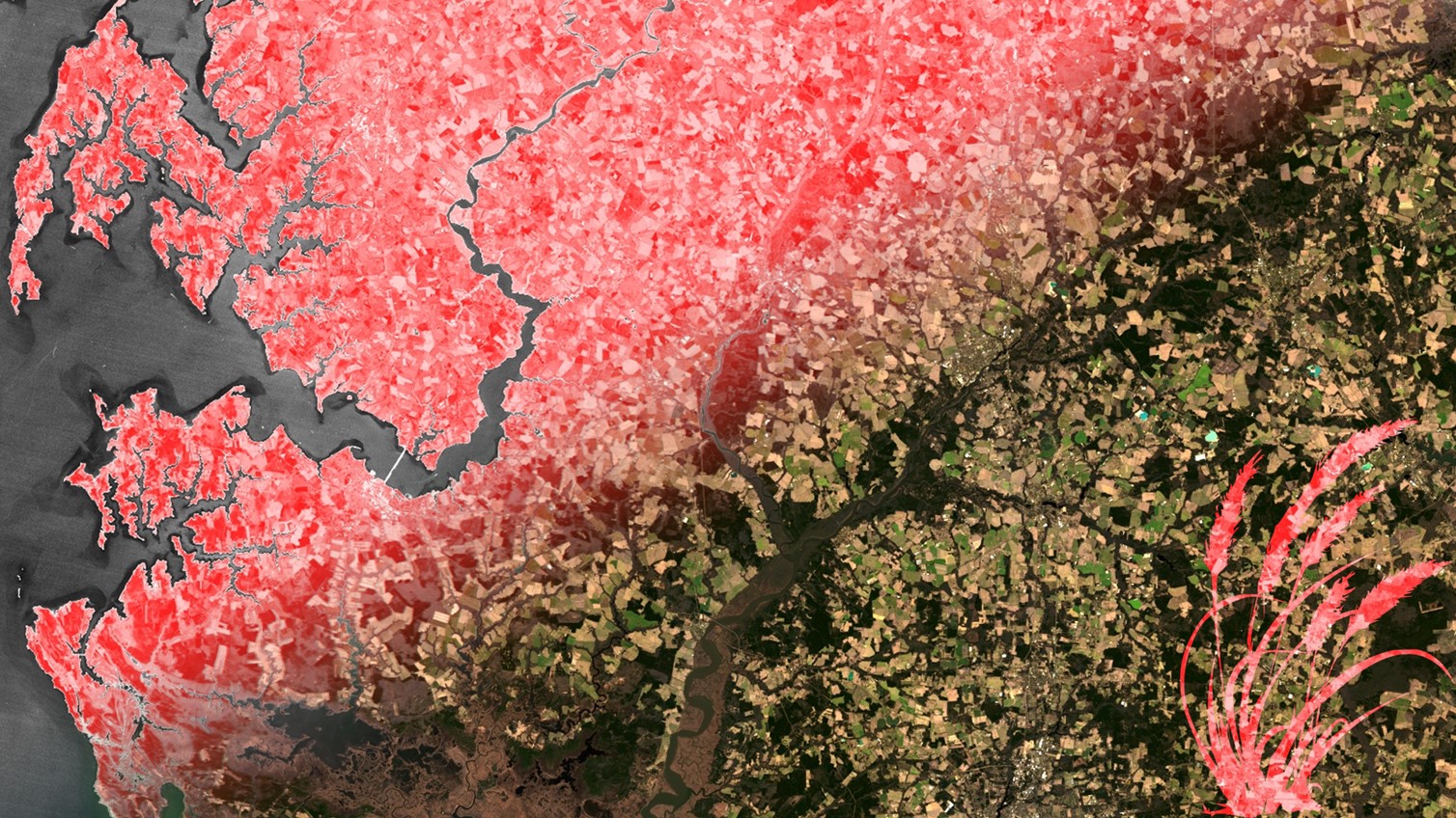
Winter cover crops increase the sustainability of agricultural lands and the health of surrounding watersheds through erosion control and nutrient retention. The Maryland Department of Agriculture (MDA) incentivizes the planting of winter cover crops in the Chesapeake Bay area via a cost-sharing program that offers subsidies to enrolled farmers. The success of these cover crops is dependent on several factors, such as crop species, planting date, and termination date. Using imagery from Landsat 5 Thematic Mapper (TM), Landsat 8 Operational Land Imager (OLI), and Sentinel-2 MultiSpectral Instrument (MSI), a previous DEVELOP team constructed methods that evaluated the performance of Maryland cover crops on the basis of biomass. However, the MDA required more streamlined methods and user-friendly tools to implement the products in their day-to-day operations. The current DEVELOP project aimed to simplify the methods established by the previous team through the creation of a graphical user interface (GUI) using Google Earth Engine to optimize end user analysis of cover crop data. The graphical analysis produced by this GUI aids the MDA by granting further insight into cover crop effectiveness, promoting more informed decision making and improved conservation efforts for the Chesapeake Bay.
Project Video:
Maryland Winter Cover Crops
- Location
- Maryland - Goddard
- Term
- Fall 2018
- Partner(s)
- Maryland Department of Agriculture, Office of Resource Conservation
USGS, Eastern Geographic Science Center
USDA, Agricultural Research Service, Hydrology and Remote Sensing Laboratory
US Environmental Protection Agency, Chesapeake Bay Program - NASA Earth Observations
- Landsat 5, TM
Landsat 8, OLI
Sentinel-2, MSI - Team
- Logan Kline (Project Lead)
Julio Peredo
Diane Portillo
Benjamin Whong - Advisor(s)
- Jason Keppler (Maryland Department of Agriculture, Office of Resource Conservation)
Dr. W. Dean Hively (USGS, Eastern Geographic Science Center)
Dr. Greg McCarty (USDA, Agricultural Research Service, Hydrology and Remote Sensing Laboratory)
Dr. Kristofer Lasko (ERDC, Geospatial Research Laboratory)