Automated Wetland Hydroperiod Mapping by Integrating Optical Satellite Imagery and Synthetic Aperture Radar
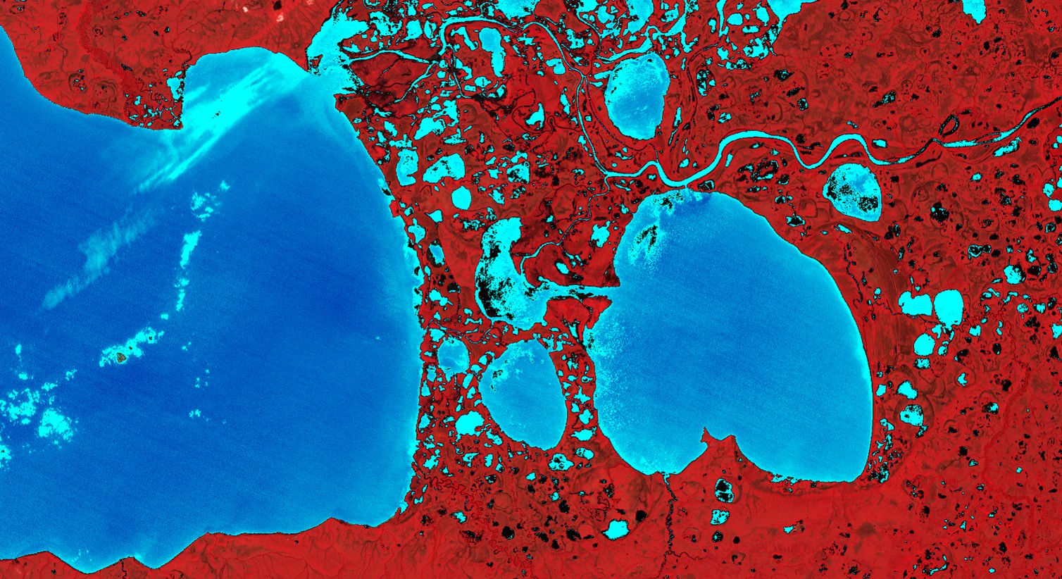
Alaska’s wetlands cover approximately one third of the state and provide a multitude of ecosystem services, including nutrient retention, water purification, and provision of habitat for fish, wildlife, and vegetation. The temporal variation in wetland inundation affects these ecosystem functions, and for effective wetland policy and management, it is important to track patterns and changes in inundation. In collaboration with the US Fish and Wildlife Service (USFWS), Alaska Satellite Facility (ASF) and the University of Alaska Fairbanks (UAF), the fall 2018 NASA DEVELOP Alaska Ecological Forecasting team produced an inundation tool to detect and classify inundation extent in Alaska’s wetlands from C-band synthetic aperture radar (C-SAR) data. The team used Earth observation products, including Sentinel-1 C-SAR, Landsat 8 Operational Land Imager (OLI), PlanetScope, and RapidEye satellite imagery, to create the tool’s thresholding algorithm and generate land cover classifications for validation. The inundation tool effectively mapped wetland inundation due to SAR imagery’s sensitivity to water and reliable data collection on cloudy days. The optical datasets, Landsat 8 OLI and high resolution Planet imagery, were limited by cloud cover and detection of inundation below vegetation and canopy cover but were helpful for visual validations of Sentinel-1 C-SAR classifications. The tool’s ability to map wetland inundation can support the development and refinement of National Wetland Inventory (NWI) wetland maps in Alaska and build the capacity of operational federal programs to use SAR.
Project Video:
Under the Radar
- Location
- California - JPL
- Term
- Fall 2018
- Partner(s)
- US Fish and Wildlife Service, National Wetlands Inventory
Alaska Satellite Facility
University of Alaska Fairbanks - NASA Earth Observations
- Landsat 8, OLI
PlanetScope - Team
- Annemarie Peacock (Project Lead)
Briant J. Fabela
Alice Lin
Adam Vaccaro - Advisor(s)
- Bruce Chapman (NASA Jet Propulsion Laboratory, California Institute of Technology)