Shenandoah Health & Air Quality
Monitoring Air Quality in Shenandoah National Park to Address National Park Service Initiatives Using NASA Earth Observations
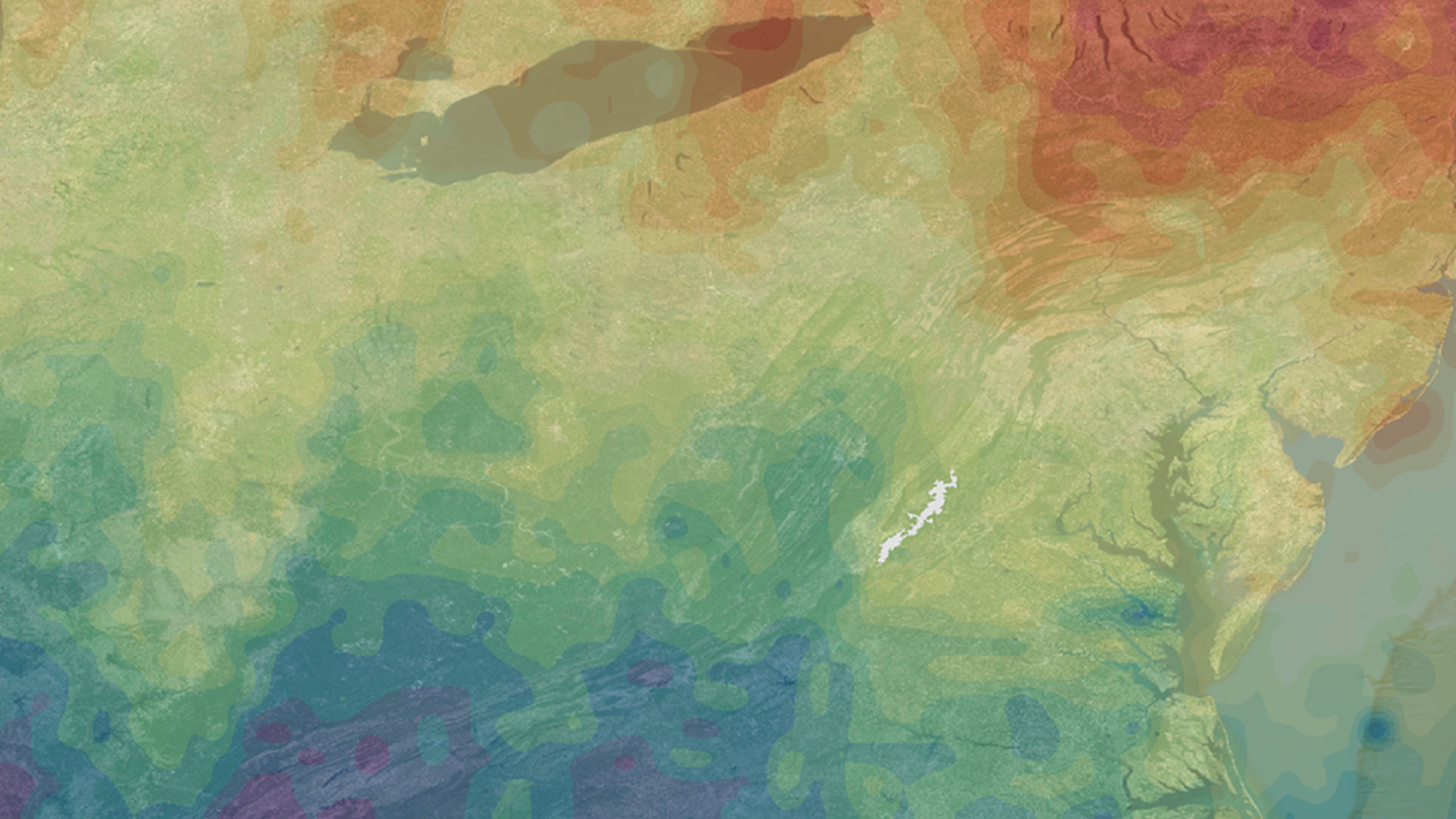
Gases such as ozone (O3), nitrogen dioxide (NO2), and sulfur dioxide (SO2) have impeded visibility and impacted air health in Shenandoah National Park, one of the primary attractions of Virginia. Air quality is considered one of the park's fundamental resources and is essential to maintaining its significance as a premier park with world-class views. This project utilized NASA Earth observations, including Aura's Ozone Monitoring Instrument (OMI), to monitor ozone and nitrogen dioxide that threaten visibility and plant, animal, water, and human health in the park. Trend maps were created to assess spatial and temporal trends in pollutant species over Shenandoah National Park and the surrounding airshed. A methodology was created to help the National Park Service incorporate remote sensing data into their management decisions related to park health and air quality concerns. In situ station data from Big Meadows monitoring station were used to validate the NASA Earth observations. This information will aid in future decisions related to visitor education and ecological management in accordance with mandates from the Clean Air Act, the National Park Service Organic Act of 1916, and the Wilderness Act.
Project Video:
The Sky to Behold: Clearing up the Shenandoah Skyline
- Location
- NASA Langley Research Center
- Term
- Summer 2017
- Partner(s)
- National Park Service, Shenandoah National Park
National Park Service, Air Resources Division, Research & Monitoring Branch - NASA Earth Observations
- Aura, OMI
- Team
- Ellen Bubak (Project Lead)
Amanda Clayton
Doug Gardiner
Nicholas Lenfant
Julie Terhune - Advisor(s)
- Dr. Bruce Doddridge (NASA Langley Research Center)
Dr. Kenton Ross (NASA Langley Research Center)