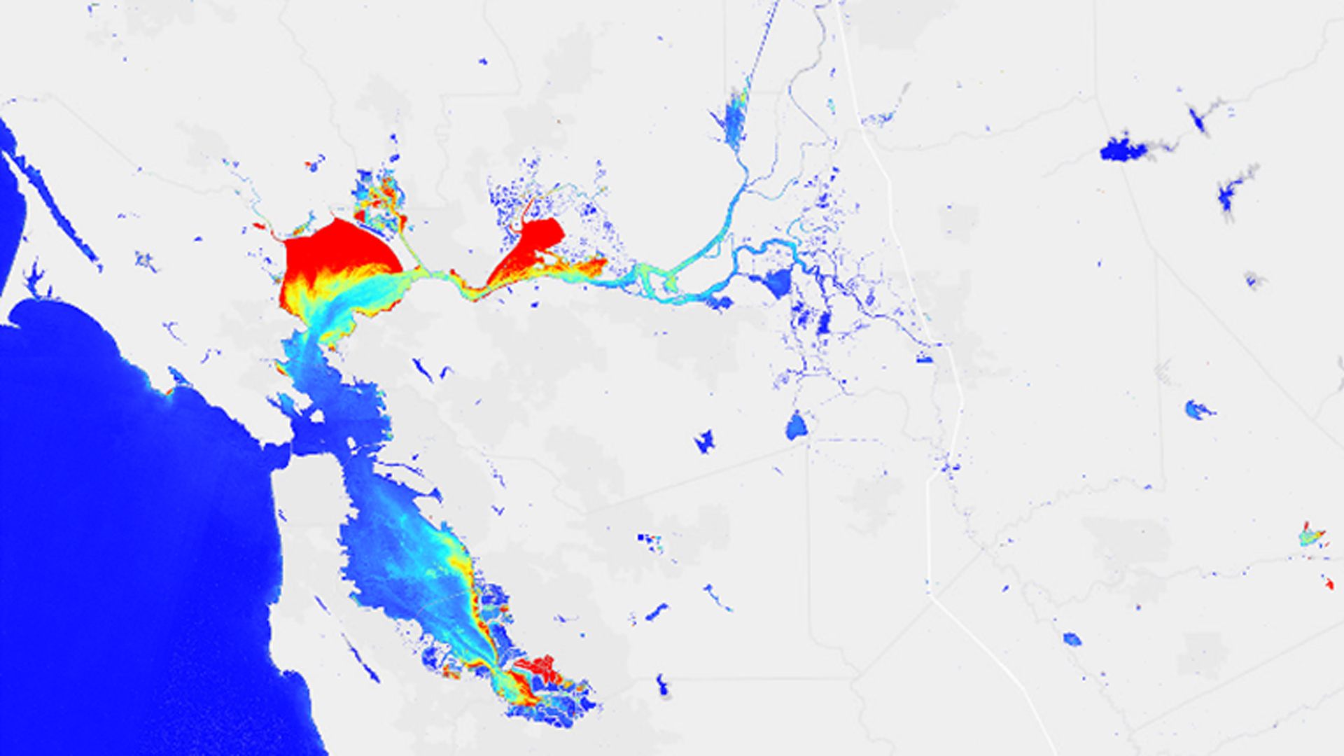
San Francisco Bay-Delta Water Resources

Utilizing NASA and ESA Earth Observations to Monitor Turbidity Conditions in the San Francisco-Bay Delta
Water quality is a critical element of freshwater supply, particularly in times and areas of drought. Limited water resources can be further strained if water quality concerns are not effectively and efficiently addressed. While there are measures in place to protect human and environmental health from poor and risky water quality conditions, implementation of these measures is frequently reliant on physical water samples and fixed station data, both of which have gaps in spatial and temporal coverage of water quality conditions. This consideration is especially important in environments that are highly complex and heterogeneous, such as the San Francisco Bay-Delta, as well as in budget-constrained areas or sites that are remote and are challenging to access. Remotely sensed information can help supplement existing data, supporting more informed water management practices and representing a wealth of information that has yet to be fully leveraged. In this project, we evaluated the application of remote sensing-derived turbidity from three Earth observing satellites in the San Francisco Bay-Delta and conducted comparisons with in situ turbidity data from USGS and the California Data Exchange Center (CDEC) water quality stations. The Semi-Empirical Single Band Turbidity Algorithm yielded a 1:1 relationship with in situ turbidity when calculated values were less than 15 to 20 FNU. This relationship did not extend to higher turbidity values, which yielded significantly lower slopes. Incorporating site-specific constants into the algorithm to correct for this deviation must be explored further. Higher resolution Sentinel-2 was the only satellite able to pick up turbidity values in the smaller tributaries of the Bay-Delta.
Project Video:
The Delta Smeltdown: Monitoring Turbidity to Aid Delta Smelt Conservation
- Location
- NASA Jet Propulsion Laboratory
- Term
- Summer 2017
- Partner(s)
- Metropolitan Water District of Southern California (MWD)
- NASA Earth Observations
- Landsat 8, OLI
Sentinel-2, MSI
Sentinel-3, OLCI - Team
- Katherine Cavanaugh (Project Lead)
Leah Kucera
Molly Spater - Advisor(s)
- Christine Lee (NASA Jet Propulsion Laboratory, California Institute of Technology)
Michelle Gierach (NASA Jet Propulsion Laboratory, California Institute of Technology)
Nick Tufillaro (Oregon State University, College of Earth, Ocean, and Atmospheric Sciences)