Phoenix Health & Air Quality

Utilizing NASA Earth Observations to Assess the Impact of Extreme Heat on Transit Riders in Phoenix, Arizona
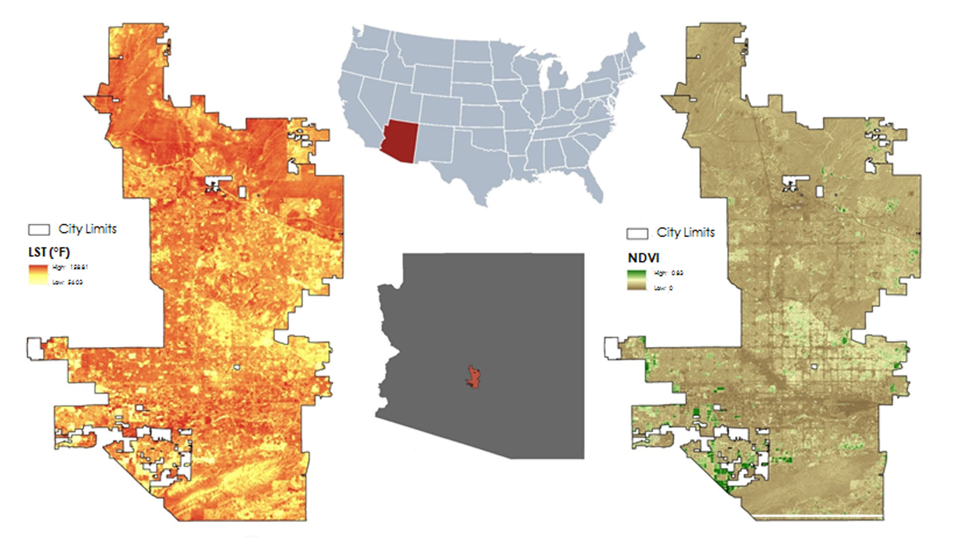
Phoenix, Arizona is home to over 1.5 million people and summer temperatures regularly exceed 106 F (42.1 C). Exposure to extreme temperatures can lead to heat-related illnesses, such as heat stroke and heat exhaustion, and increased heat-related mortality. This has been a chronic public health issue that the City of Phoenix and Maricopa County Department of Public Health have heavily invested in addressing though infrastructure development and initiatives aimed at reducing the risk of heat exposure. While extreme heat is known to have a detrimental impact on the general population, it is of particular concern for the Phoenix Transit Department since bus riders are exposed to extreme heat during their trip to bus stops and while waiting for buses to arrive. The Phoenix Transit Department's current method of determining priority for implementing improvements like shade structures is based solely upon ridership and the quality of existing structures at each stop. Using Terra Advanced Spaceborne Thermal Emission and Reflection Radiometer (ASTER) and Landsat 8 imagery, the Phoenix Health & Air Quality team enhanced the partner's current methodology by assessing vegetation prevalence and land surface temperature around the Department's 4,000 bus stops. Mapping information about vegetation cover and land surface temperature provided the City of Phoenix, Public Transit Department with an estimation of the radiative load riders experience at bus stops. These maps also identify bus stops that could benefit from structures that promote thermal comfort. These results will contribute to the Phoenix Transit Department's efforts to reduce the risk of heat-related illness.
Project Video:
Beating the Heat: Assessing Extreme Temperatures of Public Transit
- Location
- Maricopa County Department of Public Health and Arizona State University
- Term
- Spring 2017
- Partner(s)
- City of Phoenix, Public Transit Department
Arizona State University, Center for Policy Informatics
Arizona State University Urban Climate Research Center
Maricopa County Department of Public Health
Vitalyst Health Foundation - NASA Earth Observations
- Landsat 8, OLI
Terra, ASTER - Team
- Tamara Dunbarr (Project Lead)
McKenzie Murphee
Lance Watkins - Advisor(s)
- Dr. David Hondula (Science Advisor)