San Francisco Bay-Delta Water Resoureces II

Improving Water Quality Monitoring and Management in the San Francisco Bay-Delta Utilizing NASA Earth Observations in Association with the Delta Smelt
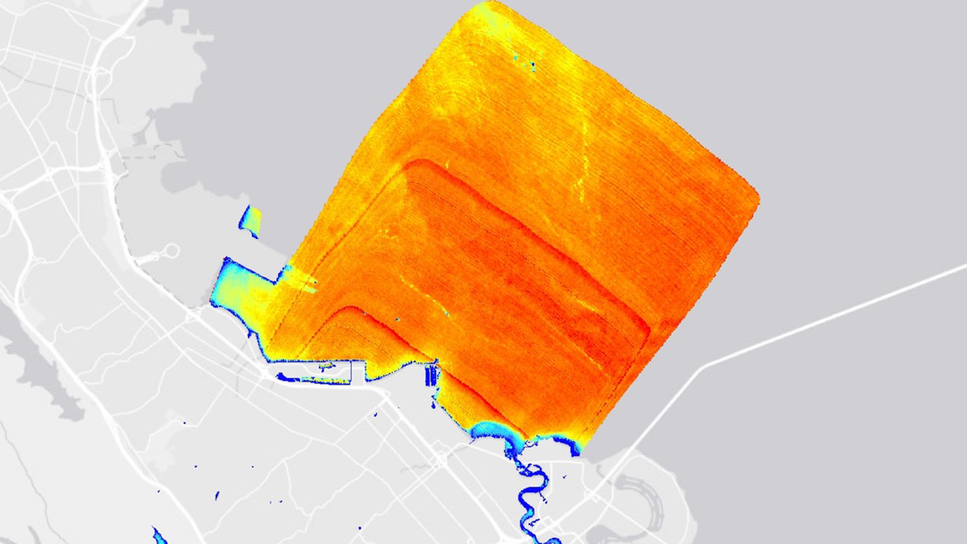
Water quality plays a critical role in California's freshwater supply and environmental health in the San Francisco Bay-Delta. While there are measures in place to protect human and environmental health from poor water quality conditions, implementation of these measures is frequently reliant on physical water samples and fixed station data, both of which have gaps in spatial and temporal coverage of water quality conditions. The Bay-Delta has high turbidity values, and optimal smelt conditions occur at 12 Formazin Nephelometric Units (FNU). However, during these periods of high turbidity, water export pumps shutoffs are triggered in order to minimize smelt entrainment. In partnership with the Metropolitan Water District (MWD), this project aimed to gain a better understanding of water quality through the use of remote sensing. The team used hyperspectral data from AVIRIS-NG, along with multispectral data from Landsat 8 OLI and Sentinel-2 MSI, in the San Francisco Bay-Delta from April 2013 to August 2017. In situ turbidity data from United States Geological Survey (USGS) and California Data Exchange Center (CDEC) water quality stations were compared against hyperspectral derived turbidity. This hyperspectral derived turbidity was also compared to derived turbidity from multispectral data. The spatio-temporal dynamics of turbidity in this region will provide insight as to how the environmental conditions impacting smelt are evolving. Consequently, the results of this analysis can be used to enhance turbidity monitoring and create efficient management plans that support the smelt.
Project Video:
Back to the Bay-sics
- Location
- California – JPL
- Term
- Fall 2017
- Partner(s)
- Metropolitan Water District of Southern California
34 North - NASA Earth Observations
- ER-2, AVIRIS/ AVIRIS-NG
Landsat 8, OLI
Sentinel-2, MSI - Team
- Alex Matacchieri (Project Lead)
Kate Cavanaugh
Carlos Reyes-Andrade
Lael Wakamatsu - Advisor(s)
- Christine M. Lee (NASA Jet Propulsion Laboratory, California Institute of Technology)
David R. Thompson (NASA Jet Propulsion Laboratory, California Institute of Technology)
Glynn C. Hulley (NASA Jet Propulsion Laboratory, California Institute of Technology)
Kerry Cawse-Nicholson (NASA Jet Propulsion Laboratory, California Institute of Technology)
Michelle M. Gierach (NASA Jet Propulsion Laboratory, California Institute of Technology)
Erin L. Hestir (University of California, Merced) - Project Materials Poster PDF