North Alabama Ecological Forecasting
Spatial Modeling of the Fragmentation of Local Species Habitat from Increasing Urbanization in North Alabama
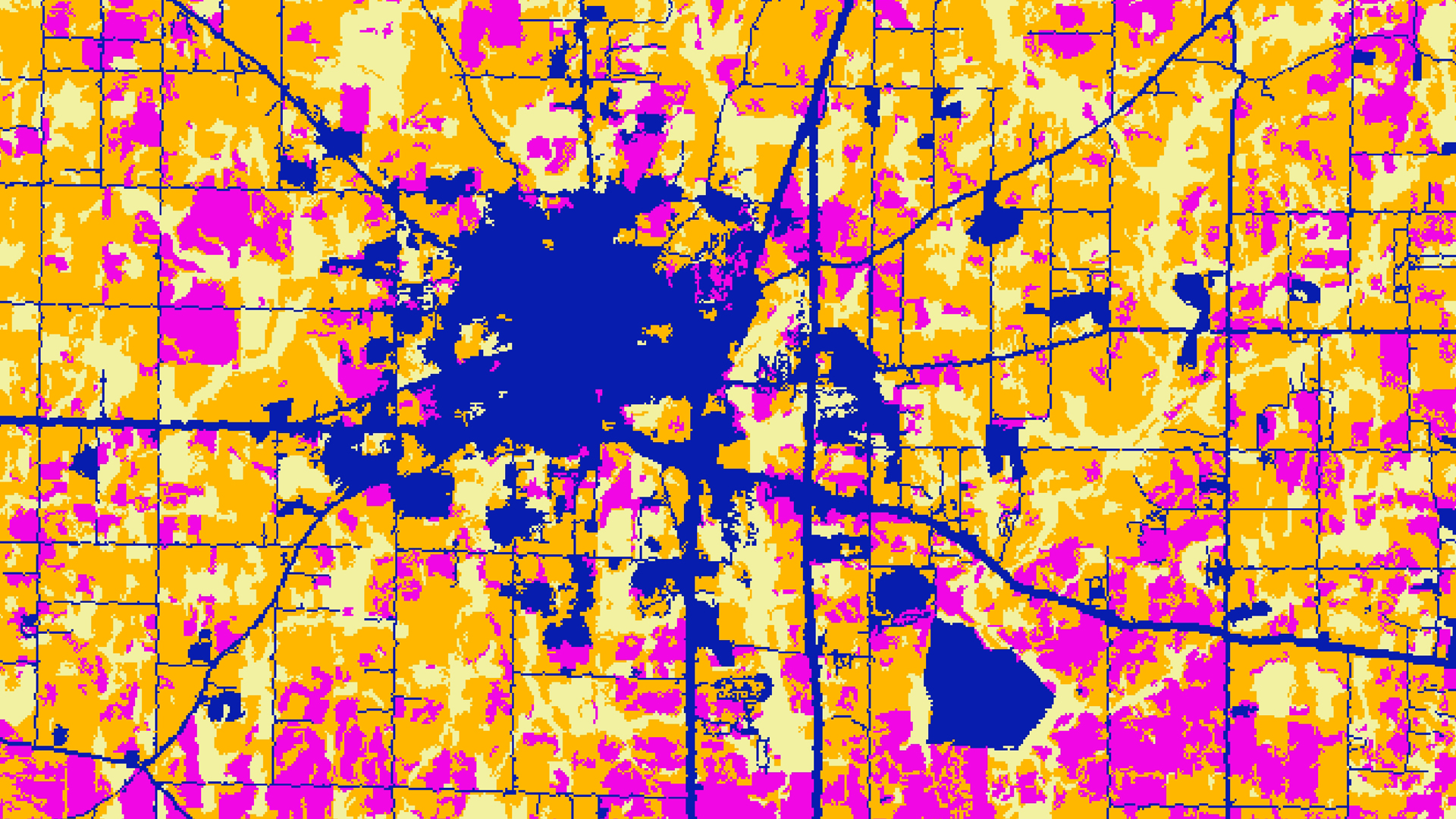
Alabama is one of the four most biodiverse states in the United States, and has greatest diversity of aquatic species of any state in the U.S. This biodiversity is at risk as urbanization increases in Alabama. The Land Trust of North Alabama works to preserve green space and encourages stewardship through environmental education. The North Alabama Ecological Forecasting team partnered with the Land Trust of North Alabama to identify areas critical to maintaining local species habitat within Madison and Limestone counties. As urbanization increases within these counties, essential habitats are threatened. To identify where land cover changes are occurring and areas are most vulnerable to urbanization, the North Alabama Ecological Forecasting team conducted a supervised classification of land class types utilizing data from Landsat 5 Thematic Mapper (TM), Landsat 8 Operational Land Imager (OLI), and Shuttle Radar Topography Mission Version 4 (SRTM). The team then used the classification along with other parameters to produce an Urbanization Model Algorithm, Urbanization Prediction Tool, and a Landscape Fragmentation Map. These tools will enable the Land Trust of North Alabama to target land for acquisition and subsequent preservation and stewardship.
Project Video:
Trust Me!
- Location
- Alabama - Marshall
- Term
- Fall 2017
- Partner(s)
- Land Trust of North Alabama
- NASA Earth Observations
- Landsat 5, TM
Landsat 8, OLI
SRTM - Team
- Nicholas McVey (Project Lead)
Helen Baldwin-Zook
Emily Kinkle - Advisor(s)
- Dr. Jeffrey Luvall (NASA Marshall Space Flight Center)
Dr. Robert Griffin (University of Alabama in Huntsville)
Leigh Sinclair (University of Alabama in Huntsville, Information Technology and Systems Center) - Project Materials Poster PDF