Southwest United States Ecological Forecasting
Mapping Invasive Species to Efficiently Monitor Southwestern National Park Areas
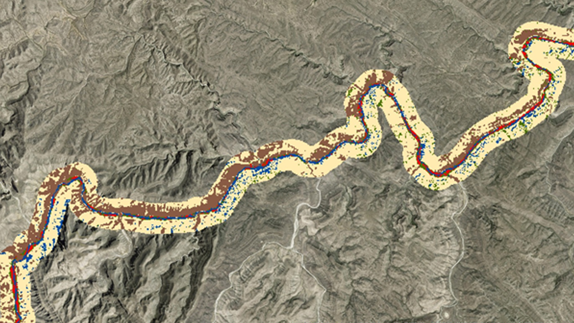
The southwestern United States spans six states, over 55 national parks, and a wide range of ecosystems, historical landmarks, and culturally significant landscapes. Of these parks, Bandelier National Monument (NM), Big Bend National Park (TX), Glen Canyon National Recreation Area (AZ, UT), and Valles Caldera National Preserve (NM) are threatened by three particularly problematic invasive plant species: cheatgrass (Bromus tectorum), ravenna grass (Saccharum ravennae), and giant reed (Arundo donax). Currently, park management uses field observations to monitor these species, which requires a significant investment in time, effort, and money by the National Park Service (NPS). The NPS is interested in mapping and predicting the presence of invasive species by using NASA's Earth observations. To this end, the Southwest US Ecological Forecasting team created classified species distribution maps using Moderate Resolution Imaging Spectroradiometer (MODIS), Landsat 5 Thematic Mapper (TM), and Landsat 8 Operational Land Imager (OLI) data for the years 2000, 2008, and 2016. This project also used vegetation and topographic indices, as well as field data to predict invasive species presence using a Species Distribution Model (SDM) for each national park area and generated likelihood maps of species presence/absence.
- Location
- NASA Langley Research Center
- Term
- Summer 2016
- Partner(s)
- National Park Service
- NASA Earth Observations
- Terra, MODIS
Landsat 5, TM
Landsat 8, OLI
Sentinel II - Team
- Ryan Avery (Project Lead)
Katherine Landsman
Jordan Vaa
Timmera Whaley
Dakoyta Greenman - Advisor(s)
- Dr. Kenton Ross (NASA DEVELOP National Program)
Project Video