Southeast United States Agriculture

Incorporating NASA Earth Observations into the USDA Southeast Regional Climate Hub Lately Identified Geospecific Heightened Threat System (SERCH LIGHTS) to Assist Farmers in Making Informed Decisions on Water and Crop Management
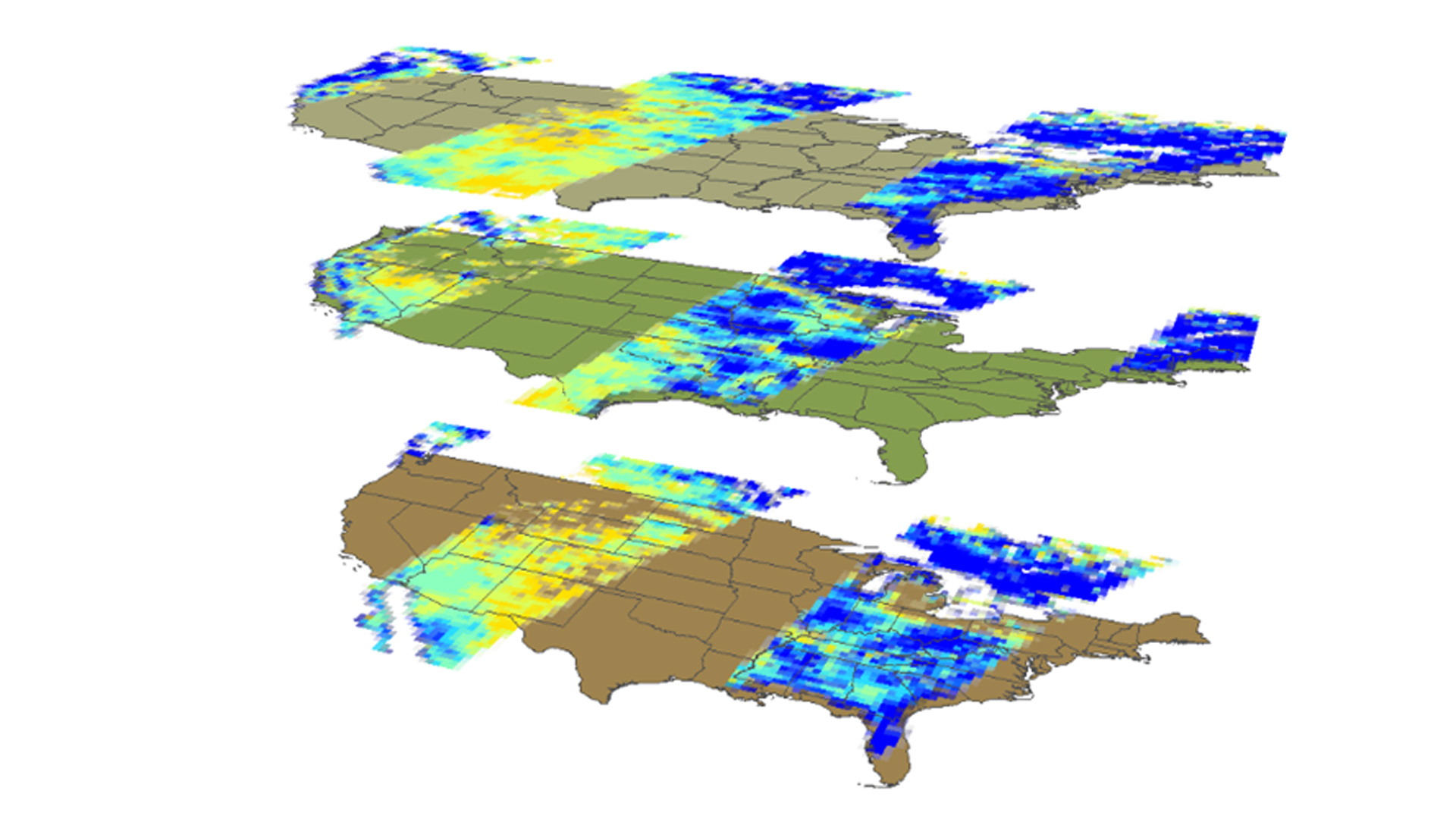
Regional climate variability in the southeastern United States is a concern for agricultural and forestry management. Droughts are an important consequence of this variability, affecting both the agricultural and forestry sectors' ability to manage their water resources. The United States Department of Agriculture (USDA) Southeast Regional Climate Hub (SERCH) has thus developed a tool called Lately Identified Geospecific Heightened Threat System (LIGHTS) in order to provide information for its users that would increase water management efficiency. It identifies and alerts users to changes in drought, temperature, and precipitation patterns. However, LIGHTS lacks soil moisture information, which also affects drought patterns. This project therefore aims to update the current drought monitoring system by incorporating Soil Moisture Active Passive (SMAP) level 3 data as a support layer, by retrieving Standardized Soil Moisture Index (SSI) as a measure and by using Python as the programming language. Ground truth soil moisture data from Soil Climate Analysis Network (SCAN) were collected for validation. As a result, this integration of SMAP data into SERCH LIGHTS will increase the end-user's water management capabilities in response to drought conditions.
- Location
- Wise County Clerk of Court's Office
- Term
- Summer 2016
- Partner(s)
- USDA Southeast Regional Climate Hub (SERCH)
- NASA Earth Observations
- SMAP, Radiometer
- Team
- Yaping Xu (Project Lead)
Yousra Benchekroun
Kimberly Berry
Grant Bloomer - Advisor(s)
- Dr. Kenton Ross (NASA DEVELOP National Program)
Dr. DeWayne Cecil (NOAA NCEI, Global Science and Technology)
Bob VanGundy (The University of Virginia's College at Wise)
Mike Bender (NASA DEVELOP National Program)
Project Video